
Normanby le Wold, village in Lincolnshire, England, UK
Posizione: West Lindsey
Coordinate GPS: 53.44110,-0.31101
Ultimo aggiornamento: 3 marzo 2025 alle 02:38

Moot Hall, Holton le Moor
5 km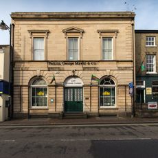
Corn Exchange
6.2 km
Church of St. John the Baptist
5.2 km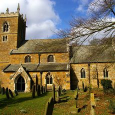
Church of St Mary
1.3 km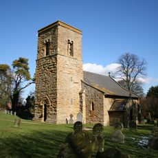
Church of St Mary Magdalene
5 km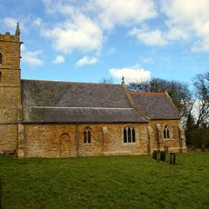
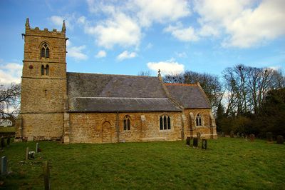
Church of St Peter
401 m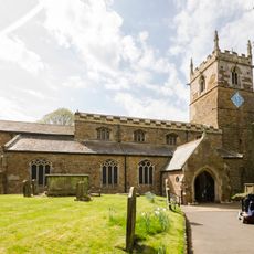
Church of Saint Peter and Saint Paul
6.2 km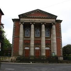
Methodist Centenary Chapel
6.4 km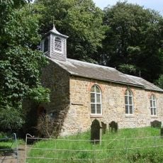
Church of St.Margaret
3.2 km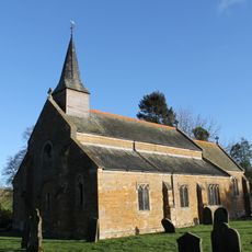
Church of St Mary
4.6 km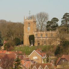
Church of All Saints
5.5 km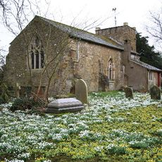
Church of St Andrew
5.4 km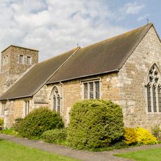
Church of St Mary
3 km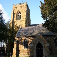
Church of St Thomas
6.1 km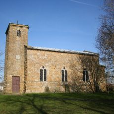
Church of St.Martin
6.1 km
Church of All Saints
3.1 km
Church of Saint Luke
4.9 km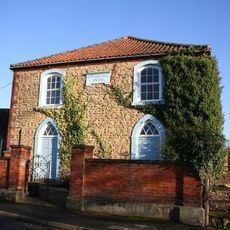
Methodist Chapel
5.6 km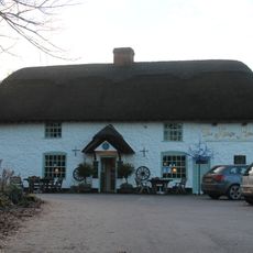
The Kings Head Public House
5.7 km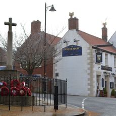
Caistor War Memorial
6.2 km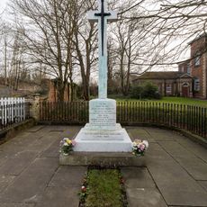
Market Rasen War Memorial
6.4 km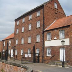
Corn Mill
6.1 km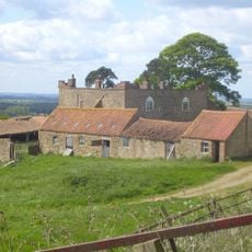
Castle Farmhouse
4.5 km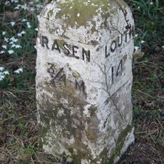
Milestone Opposite No 65
6.4 km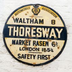
Wheelhouse At Thoresway Water Mill
4.8 km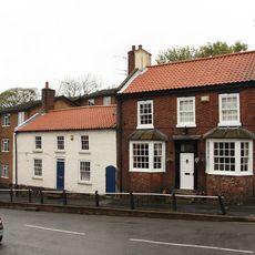
The Causeway
6.2 km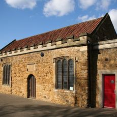
Caistor Grammar School Old Building
6.2 km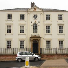
Caistor House No 19
6.2 kmRecensioni
Ha visitato questo luogo? Tocchi le stelle per valutarlo e condividere la Sua esperienza o foto con la community! Provalo ora! Puoi annullarlo in qualsiasi momento.
Scopri tesori nascosti ad ogni viaggio!
Da piccoli caffè caratteristici a panorami nascosti, fuggi dalla folla e scova i posti che fanno davvero per te. La nostra app ti semplifica tutto: ricerca vocale, filtri furbi, percorsi ottimizzati e dritte autentiche da viaggiatori di tutto il mondo. Scaricala subito per vivere l'avventura sul tuo smartphone!

Un nuovo approccio alla scoperta turistica❞
— Le Figaro
Tutti i luoghi che meritano di essere esplorati❞
— France Info
Un’escursione su misura in pochi clic❞
— 20 Minutes