
Newholm-cum-Dunsley, civil parish in Scarborough, England
Posizione: Scarborough
Coordinate GPS: 54.48333,-0.66667
Ultimo aggiornamento: 2 marzo 2025 alle 22:15
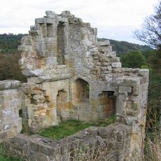
Mulgrave Castle
2.8 km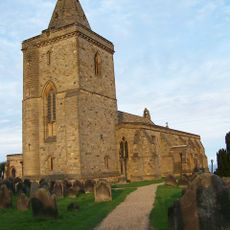
Church of St Oswald, Lythe
3 km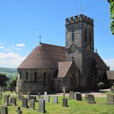
Church of St Margaret
2.1 km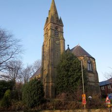
St Bartholomew's Church, Ruswarp
2.8 km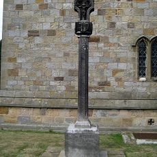
Lythe War Memorial
3 km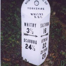
Milestone, Lythe Bank, N of Sandsend
2.5 km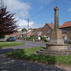
Aislaby War Memorial
2.1 km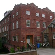
Ruswarp Mill
2.8 km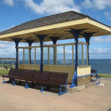
Edwardian Shelter 15 Metres East Of Cliff Lift
2.9 km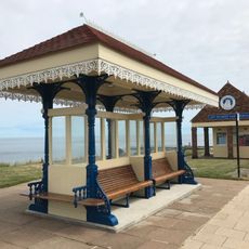
Edwardian Shelter 15 Metres West Of Cliff Lift
2.9 km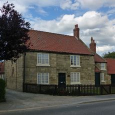
High Farmhouse
3.2 km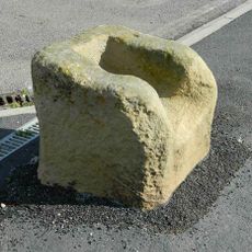
The Wishing Chair Cross cross base at junction of Stakesby Road and Westbourne Road
2.1 km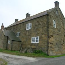
Raven Hill Farmhouse And Barn Adjoining
1.5 km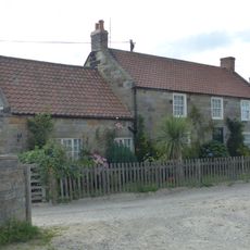
Middle Farmhouse
3.1 km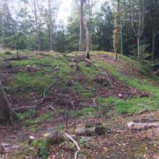
Foss Castle
3.5 km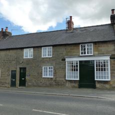
Abingdon House and house adjoining to west
3.1 km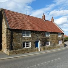
Oakdene
3.1 km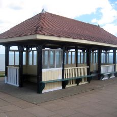
Art Nouveau Shelter 30 Metres West Of Cliff Lift
2.9 km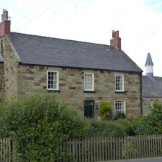
Low Farmhouse
3.1 km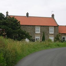
Greystone Farmhouse
547 m
Swarth Howe Cross
3 km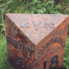
Milestone, nr Bends sign
2.8 km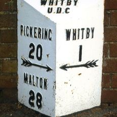
Milestone, High Stakesby,Whitby
2.2 km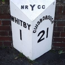
Milestone, Castle Road, Whitby
1.9 km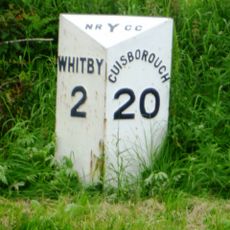
Milestone, Guisborough Road, just E of A169 TI
881 m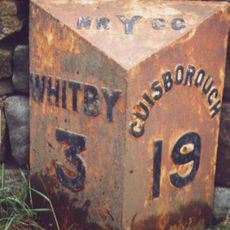
Milestone, Guisborough Road opp track to farm
1.5 km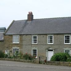
Fairfax Farm House
975 m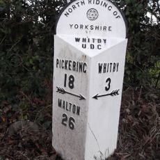
Milestone, Briggswath by bus stop
2.4 kmHa visitato questo luogo? Tocchi le stelle per valutarlo e condividere la Sua esperienza o foto con la community! Provalo ora! Puoi annullarlo in qualsiasi momento.
Scopri tesori nascosti ad ogni viaggio!
Da piccoli caffè caratteristici a panorami nascosti, fuggi dalla folla e scova i posti che fanno davvero per te. La nostra app ti semplifica tutto: ricerca vocale, filtri furbi, percorsi ottimizzati e dritte autentiche da viaggiatori di tutto il mondo. Scaricala subito per vivere l'avventura sul tuo smartphone!

Un nuovo approccio alla scoperta turistica❞
— Le Figaro
Tutti i luoghi che meritano di essere esplorati❞
— France Info
Un’escursione su misura in pochi clic❞
— 20 Minutes