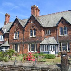
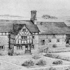
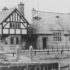
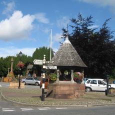
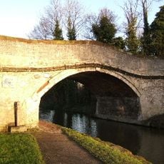
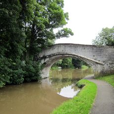
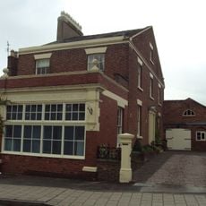
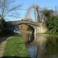
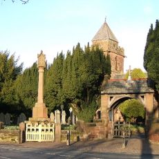
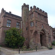
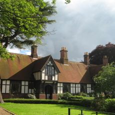
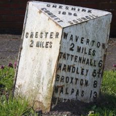
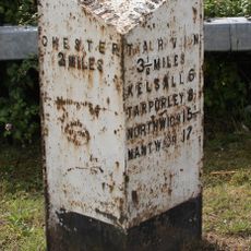
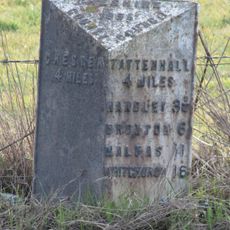
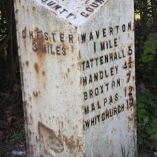
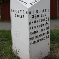
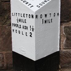
Rowton, village and civil parish in the Borough of Cheshire West and Chester and ceremonial county of Cheshire in England
Posizione: Cheshire West and Chester
Confina con: Huntington, Christleton, Aldford and Saighton
Coordinate GPS: 53.17300,-2.83000
Ultimo aggiornamento: 7 marzo 2025 alle 21:42
Rowton Hall Hotel
22 m
Saighton Grange
2.5 km
St James' Church, Christleton
1.5 km
St Peter's Church, Waverton
1.8 km
Boughton Hall
2.9 km
31 and 33 Dee Banks, Chester
2.9 km
Saighton Lane Farm
1.3 km
Waverton school and schoolmaster's house
1.8 km
Memorial shelter
1.5 km
Canal bridge No 122
1.7 km
Quarry Bridge, Canal Bridge No. 121
1.4 km
Rock House and attached shop
1.4 km
Canal Bridge No. 120
809 m
Christleton War Memorial
1.5 km
Abbey Gate College Gatehouse Gateway
2.5 km
Hydraulic Sewage Lift
1.1 km
Dixon's Almshouses
1.6 km
Water Tower
2.3 km
Tarvin Road Lock
2.9 km
Parish boundary stone against front wall of No.60 (The Old Glass House)
2 km
Parish Boundary Stone In Front Of Number 127
2 km
Greenfield Lock
2.3 km
Milepost, almost under A55 bridge, by car showroom
1.8 km
Milepost, roundabout jct of A55
2.6 km
Milepost, just N of railway bridge, nr Smithy Farm, S of road to Waverton
1.3 km
Milepost, Rowton Moor
194 m
Milepost, Broughton Heath; by No 84 & 86
2.4 km
Milepost, Little Heath Road
1.5 kmHa visitato questo luogo? Tocchi le stelle per valutarlo e condividere la Sua esperienza o foto con la community! Provalo ora! Puoi annullarlo in qualsiasi momento.
Scopri tesori nascosti ad ogni viaggio!
Da piccoli caffè caratteristici a panorami nascosti, fuggi dalla folla e scova i posti che fanno davvero per te. La nostra app ti semplifica tutto: ricerca vocale, filtri furbi, percorsi ottimizzati e dritte autentiche da viaggiatori di tutto il mondo. Scaricala subito per vivere l'avventura sul tuo smartphone!
Un nuovo approccio alla scoperta turistica❞
— Le Figaro
Tutti i luoghi che meritano di essere esplorati❞
— France Info
Un’escursione su misura in pochi clic❞
— 20 Minutes