
Sedgeford, human settlement in United Kingdom
Posizione: King's Lynn and West Norfolk
Sito web: http://sedgeford.org.uk
Coordinate GPS: 52.90000,0.54390
Ultimo aggiornamento: 8 marzo 2025 alle 00:40

Snettisham Hoard
160.3 km
Sedgeford Torc
408 m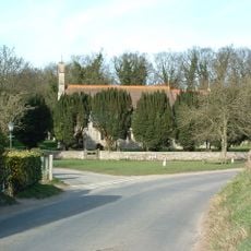
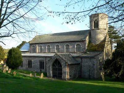
Church of Saint Peter and Saint Paul
4.2 km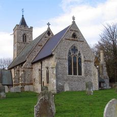
Church of St Andrew
4.1 km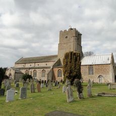
Church of St Mary the Virgin
3.3 km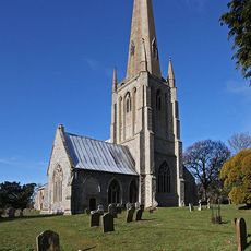
Church of St Mary, Snettisham
3.2 km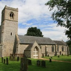
Church of All Saints
2.9 km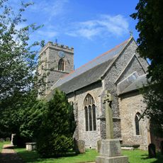
Church of St Mary the Virgin
5.3 km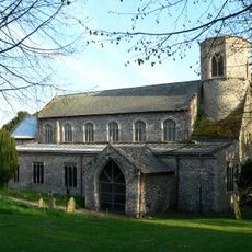
Church of St Mary
509 m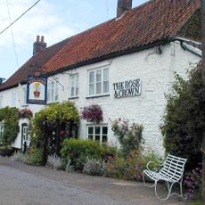
The Rose And Crown Public House
3.5 km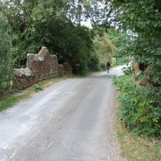
Bridge Over Loo Water On Line Of Former Heacham-Hunstanton Road.
3 km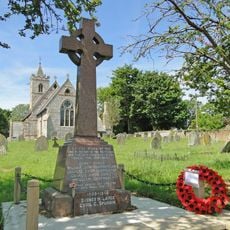
Ringstead War Memorial
4.1 km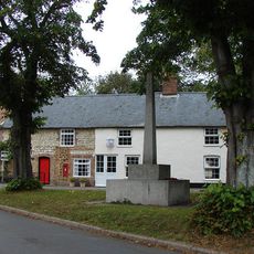
Sedgeford War Memorial
119 m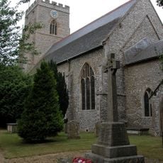
Docking War Memorial
5.3 km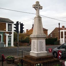
Snettisham War Memorial
3.6 km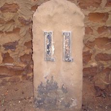
Milestone, 25yds N of Suffolk House
3.5 km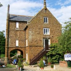
Caley Mill
2.8 km
Fring War Memorial
3.1 km
Holly Lodge
3.4 km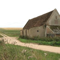
Barret Ringstead Farm Barn
4 km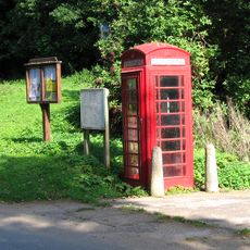
K6 Telephone Kiosk
3.1 km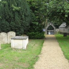
Lychgate 15 Metres South East Of Church Of St Mary The Virgin
5.3 km
The White House
3.6 km
Churchyard Wall, Gate Piers Entrance Gates To West And South Of Church Of St Mary
3.2 km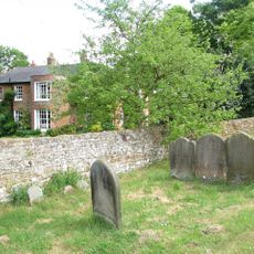
The Old Vicarage
3.2 km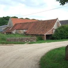
Stables To South Of Downs Farmhouse
4.1 km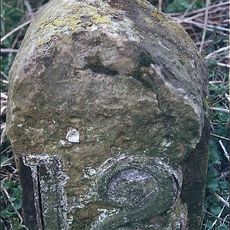
Milestone, just N of junction with Lamsey Lane
2.9 km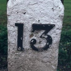
Milestone, Lynn Road, 30yds W of road leading to bridge over Heacham River
3 kmRecensioni
Ha visitato questo luogo? Tocchi le stelle per valutarlo e condividere la Sua esperienza o foto con la community! Provalo ora! Puoi annullarlo in qualsiasi momento.
Scopri tesori nascosti ad ogni viaggio!
Da piccoli caffè caratteristici a panorami nascosti, fuggi dalla folla e scova i posti che fanno davvero per te. La nostra app ti semplifica tutto: ricerca vocale, filtri furbi, percorsi ottimizzati e dritte autentiche da viaggiatori di tutto il mondo. Scaricala subito per vivere l'avventura sul tuo smartphone!

Un nuovo approccio alla scoperta turistica❞
— Le Figaro
Tutti i luoghi che meritano di essere esplorati❞
— France Info
Un’escursione su misura in pochi clic❞
— 20 Minutes