
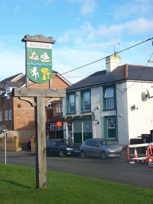
Wouldham, village and civil parish in Kent, UK
Posizione: Tonbridge and Malling
Coordinate GPS: 51.34964,0.45836
Ultimo aggiornamento: 5 marzo 2025 alle 09:08
HM Prison Rochester
3.1 km
Medway Viaducts
3.1 km
Fort Borstal
3.2 km
Ranscombe Farm
3.5 km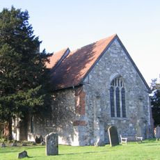
St Mary's Church, Burham
2.1 km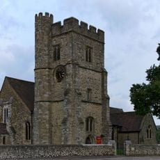
All Saints Church, Snodland
2.3 km
Holborough to Burham Marshes
2.4 km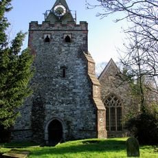
Church of St John the Baptist
785 m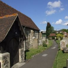
Church of All Saints
352 m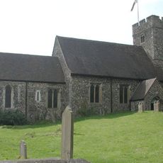
Church of St Michael and All Angels, Cuxton
2.4 km
Cineworld Cinema Rochester
3.5 km
Nashenden Farmhouse With Briar Cottage Attached
2.7 km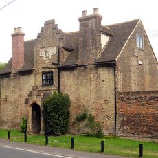
Whorns Place
2.2 km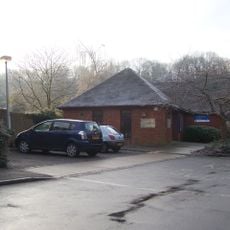
Cuxton Library
2.7 km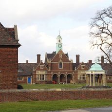
Foord Almshouses
4 km
Bell barrow in Shoulder of Mutton Wood
1.9 km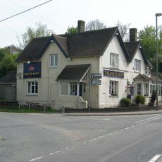
White Hart House
2.8 km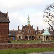
Nos 1-47, Cupola In Centre Court, Foord Almshouses Nos 48-64, 1-47
3.9 km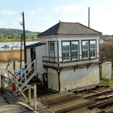
Cuxton Signal Box
2.7 km
Little Holborough
1.6 km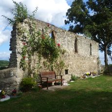
Bishop's palace at Halling
759 m
Gateway To Whorns Place And Cart Shed
2.2 km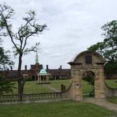
Foord Almshouses Nos 1-47 With Gate And Forecourt Walls Attached
3.9 km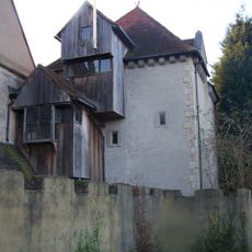
Starkey Castle
1.5 km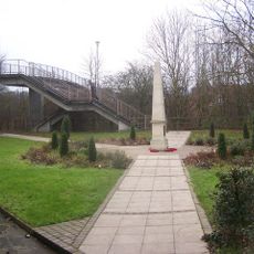
Halling War Memorial, Kent
1.1 km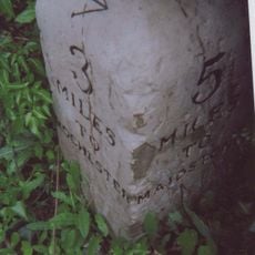
Milestone, Rochester Road, N of entrance to caravan site
3.1 km
Milestone, Maidstone Road, Bluebell Hill village, by No. 512, N of Baring Close
3.7 km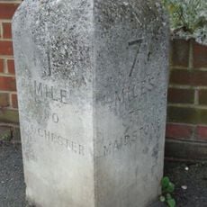
Milestone, Maidstone Road, S of Priestsfields, by St John Fisher Catholic Church
3.9 kmRecensioni
Ha visitato questo luogo? Tocchi le stelle per valutarlo e condividere la Sua esperienza o foto con la community! Provalo ora! Puoi annullarlo in qualsiasi momento.
Scopri tesori nascosti ad ogni viaggio!
Da piccoli caffè caratteristici a panorami nascosti, fuggi dalla folla e scova i posti che fanno davvero per te. La nostra app ti semplifica tutto: ricerca vocale, filtri furbi, percorsi ottimizzati e dritte autentiche da viaggiatori di tutto il mondo. Scaricala subito per vivere l'avventura sul tuo smartphone!

Un nuovo approccio alla scoperta turistica❞
— Le Figaro
Tutti i luoghi che meritano di essere esplorati❞
— France Info
Un’escursione su misura in pochi clic❞
— 20 Minutes