
Margaret Marsh, human settlement in United Kingdom
Posizione: North Dorset
Coordinate GPS: 50.96630,-2.25230
Ultimo aggiornamento: 3 marzo 2025 alle 13:03
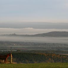
Duncliffe Hill
4 km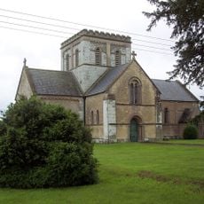
Christ Church
5 km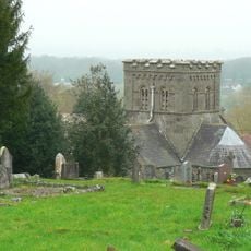
Church of St John the Evangelist
5.5 km
Church of Unknown Dedication
2.1 km
All Saints Church
2.6 km
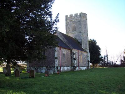
Church of St Margaret
62 m
Church of St James
5.1 km
Church of St Michael
4.2 km
Church of St Gregory
4.2 km
Church of St Nicholas
3.6 km
Church of St Andrew
4.4 km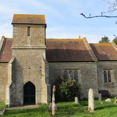
Church of St Andrew
2.8 km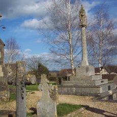
War Memorial in Marnhull Churchyard
4.2 km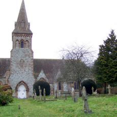
Church of St Mary
4.5 km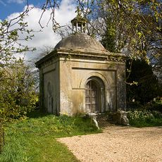
Mausoleum Approximately 40 Metres North Of Church Of St Nicholas
3.6 km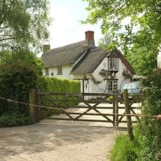
White Cottage
3.5 km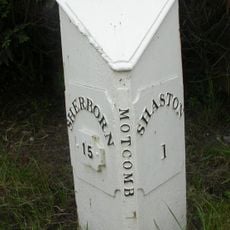
Mile Post To East Of Mead House
5.5 km
Shade House Farmhouse
3.2 km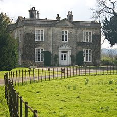
Manston House
3.7 km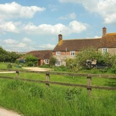
Gore Farmhouse
2.3 km
Milestone, Compton Abbas; opp. Church by Bus Shelter
4.5 km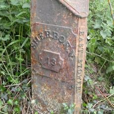
Milepost, Pennymoor Pitt Farm; 60m E of Farm
4.9 km
Lymburgh's Farmhouse
1.4 km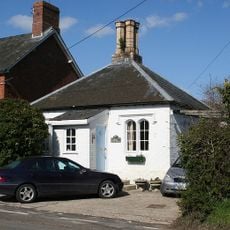
Toll House
3.2 km
Ruddock's Farmhouse
2.1 km
Northfield House
3.3 km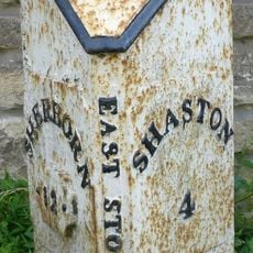
Milepost, half mile E of East Stour; opp. house called Northwood.
4.8 km
Milepost, by road jct to Stour Row and Fontmell Magna
4.8 kmRecensioni
Ha visitato questo luogo? Tocchi le stelle per valutarlo e condividere la Sua esperienza o foto con la community! Provalo ora! Puoi annullarlo in qualsiasi momento.
Scopri tesori nascosti ad ogni viaggio!
Da piccoli caffè caratteristici a panorami nascosti, fuggi dalla folla e scova i posti che fanno davvero per te. La nostra app ti semplifica tutto: ricerca vocale, filtri furbi, percorsi ottimizzati e dritte autentiche da viaggiatori di tutto il mondo. Scaricala subito per vivere l'avventura sul tuo smartphone!

Un nuovo approccio alla scoperta turistica❞
— Le Figaro
Tutti i luoghi che meritano di essere esplorati❞
— France Info
Un’escursione su misura in pochi clic❞
— 20 Minutes