Attiva posizione

Abbiamo bisogno della tua posizione per mostrarti luoghi interessanti intorno a te

Scopri luoghi nelle vicinanze

Trova luoghi interessanti e gemme nascoste intorno a te

Indicazioni precise

Ottieni indicazioni precise e distanze verso i luoghi

La tua posizione non viene mai condivisa con altri utenti. Viene utilizzata solo quando tocchi il pulsante posizione.

Wotton Underwood

Accedi al tuo account

Inizia a esplorare — è gratis

Scelto da 64.139 viaggiatori nel mondo

Continua con Google
Continua con Apple
o

Ti invieremo un codice per connetterti

Continuando, accetti i nostri Termini e Condizioni e la nostra Informativa sulla Privacy

Controlla la tua casella di posta

Abbiamo inviato un codice PIN nella tua casella di posta. Inserisci il codice qui sotto.

Discussion Recensioni 1 Foto
0 Popolarità

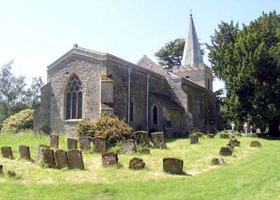
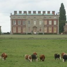
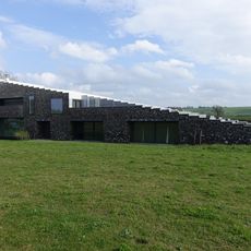
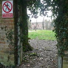
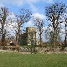
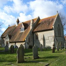
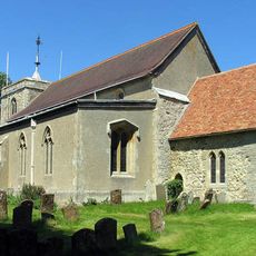
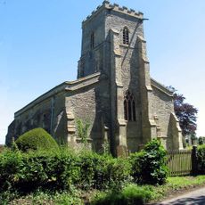
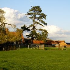
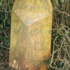
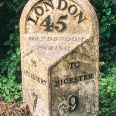
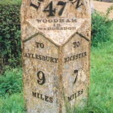
Wotton Underwood, village and civil parish in Buckinghamshire, United Kingdom

La comunità dei viaggiatori curiosi

AroundUs riunisce migliaia di luoghi selezionati, consigli locali e gemme nascoste, arricchiti ogni giorno da oltre 60,000 contributori in tutto il mondo.

Inizia a esplorare
Posizione
Coordinate GPS
51.83778,-1.00500
Ultimo aggiornamento
4 aprile 2025 alle 03:45
Intorno a questo luogo
Wotton House
Regno Unito

Wotton House

273 m
Flint House
Regno Unito

Flint House

4.3 km
Waddesdon Manor
Regno Unito

Waddesdon Manor

4.7 km
Dorton House, Buckinghamshire
Regno Unito

Dorton House, Buckinghamshire

2.2 km
Rushbeds Wood
Regno Unito

Rushbeds Wood

2 km
Ham Home-cum-Hamgreen Woods
Regno Unito

Ham Home-cum-Hamgreen Woods

3.2 km
Parish Church of St Mary the Virgin
Regno Unito

Parish Church of St Mary the Virgin

2.5 km
Church of St John the Baptist, Dorton
Regno Unito

Church of St John the Baptist, Dorton

2.1 km
Church of All Saints, Wotton Underwood
Regno Unito

Church of All Saints, Wotton Underwood

186 m
Church of St Mary
Regno Unito

Church of St Mary

3.3 km
Church of All Saints
Regno Unito

Church of All Saints

3.7 km
Church of St Mary
Regno Unito

Church of St Mary

2.9 km
Statue of Apollo at South East Corner of Upper Terrace
Regno Unito

Statue of Apollo at South East Corner of Upper Terrace

4.7 km
Statue of Sheperd Boy with His Dog, Circa 150 Metres West of the Aviary
Regno Unito

Statue of Sheperd Boy with His Dog, Circa 150 Metres West of the Aviary

4.3 km
Statue of Apollo 25 Metres East of Waddesdon Manor
Regno Unito

Statue of Apollo 25 Metres East of Waddesdon Manor

4.8 km
Statue of Hercules 130 Metres to West of the Ice House
Regno Unito

Statue of Hercules 130 Metres to West of the Ice House

4.4 km
Moat Farmhouse
Regno Unito

Moat Farmhouse

1.9 km
The Aviary
Regno Unito

The Aviary

4.5 km
Fountain Of Pluto And Proserpine 40 Metres South East Of Waddesdon Manor
Regno Unito

Fountain Of Pluto And Proserpine 40 Metres South East Of Waddesdon Manor

4.7 km
K2 Test Stand, Former Royal Ordnance Establishment, Westcott
Regno Unito

K2 Test Stand, Former Royal Ordnance Establishment, Westcott

2.1 km
K1 Test Stand, Control Room And Ancillary Building, Former Royal Ordnance Establishment, Westcott
Regno Unito

K1 Test Stand, Control Room And Ancillary Building, Former Royal Ordnance Establishment, Westcott

2.1 km
Pair Of Lamps At South End Of Main Avenue, Circa 50 Metres To North West Of Waddesdon Manor
Regno Unito

Pair Of Lamps At South End Of Main Avenue, Circa 50 Metres To North West Of Waddesdon Manor

4.6 km
P Test-Stands And Support Structures, Former Royal Ordnance Establishment, Westcott
Regno Unito

P Test-Stands And Support Structures, Former Royal Ordnance Establishment, Westcott

2.8 km
Fountain Of Triton And Nerieds 250 Metres North Of Waddesdon Manor
Regno Unito

Fountain Of Triton And Nerieds 250 Metres North Of Waddesdon Manor

4.5 km
Milepost, Kingswood Lane; N of Windmill Hill
Regno Unito

Milepost, Kingswood Lane; N of Windmill Hill

1.8 km
Milepost, Grendon Lane; 100m N of A41 jct, near Foxden Cottage
Regno Unito

Milepost, Grendon Lane; 100m N of A41 jct, near Foxden Cottage

3.2 km
Milepost, by Priors Furlong, W of Hall Farm
Regno Unito

Milepost, by Priors Furlong, W of Hall Farm

4.1 km
Milepost, by car park of the Crooked Billet PH
Regno Unito

Milepost, by car park of the Crooked Billet PH

3 km
Mostra la mappa completa
Recensioni
Condividi la tua esperienza

No review yet

Discussioni
Avvia una discussione...

No discussion yet

« Wotton Underwood - village and civil parish in Buckinghamshire, United Kingdom » è fornito da Around Us (it.aroundus.com). Le immagini e i testi sono tratti dal progetto Wikimedia con licenza Creative Commons. È possibile copiare, distribuire e modificare copie di questa pagina, alle condizioni stabilite dalla licenza, a condizione che questa nota sia chiaramente visibile.

Scopri tesori nascosti ad ogni viaggio!

Da piccoli caffè caratteristici a panorami nascosti, fuggi dalla folla e scova i posti che fanno davvero per te. La nostra app ti semplifica tutto: ricerca vocale, filtri furbi, percorsi ottimizzati e dritte autentiche da viaggiatori di tutto il mondo. Scaricala subito per vivere l'avventura sul tuo smartphone!

Around Us App Screenshot

Un nuovo approccio alla scoperta turistica

Le Figaro

Tutti i luoghi che meritano di essere esplorati

France Info

Un’escursione su misura in pochi clic

20 Minutes

Around Us
Guida di viaggio e mappe
Scarica

Invia al tuo telefono

QR Code
1

Apri l'app fotocamera sul tuo cellulare.

2

Inquadra il codice QR con la fotocamera. Apparirà una notifica.

3

Tocca la notifica per aprire il link.