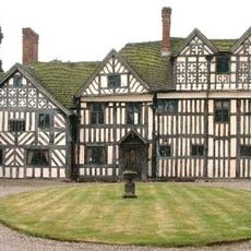
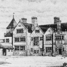
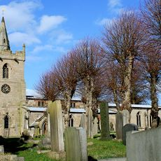
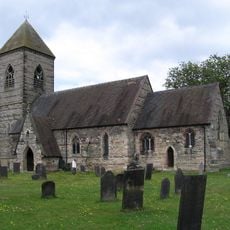
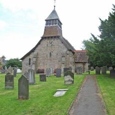
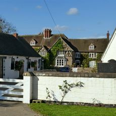
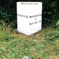
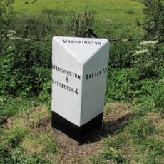
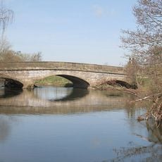
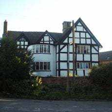
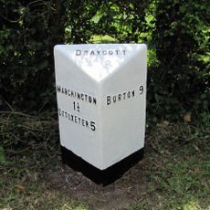
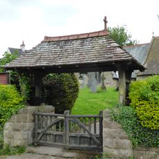
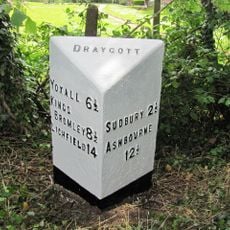
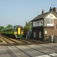
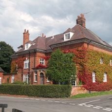
Sudbury, village and civil parish in Derbyshire Dales district, Derbyshire, England
Posizione: Derbyshire Dales
Confina con: Cubley, Marston Montgomery, Somersal Herbert, Doveridge, Foston and Scropton, Church Broughton, Boylestone
Coordinate GPS: 52.88600,-1.76200
Ultimo aggiornamento: 10 marzo 2025 alle 15:08
Sudbury Hall
220 m
National Trust
249 m
Somersal Herbert Hall
3.9 km
Brocksford Hall
3.4 km
Church of St Andrew
5.6 km
St Cuthbert's Church, Doveridge
5.1 km
St Peter's Church, Marchington
2.7 km
St John the Baptist's Church, Boylestone
4.3 km
St Michael and All Angels' Church, Church Broughton
4.7 km
Medieval settlement, including site of chapel and part of the open field system, immediately north east of Alkmonton Old Hall Fa
6.4 km
Church of All Saints, Sudbury
355 m
Church of St Paul
3.7 km
Church of St Peter
4 km
Folly Or Deercote In Park
656 m
Church of St Giles
6.4 km
St Augustine's Church
3.8 km
Fauld Hall
3.9 km
Milepost Outside Lower Brook House
4.5 km
Milepost At Ngr Sk 13113009
3.6 km
Aston Bridge
991 m
The Manor House
6.4 km
Milepost At Ngr Sk 14182913
3.5 km
Lychgate, Bus Stop And Connecting Retaining Wall To Churchyard
6.4 km
Milepost Outside 32 Swan Lane
3.4 km
Milepost, near Swan PH
3.4 km
Sudbury Crossing Signal Box
1.4 km
Manor House
4.3 km
Milepost, Birch Cross
4.6 kmRecensioni
Ha visitato questo luogo? Tocchi le stelle per valutarlo e condividere la Sua esperienza o foto con la community! Provalo ora! Puoi annullarlo in qualsiasi momento.
Scopri tesori nascosti ad ogni viaggio!
Da piccoli caffè caratteristici a panorami nascosti, fuggi dalla folla e scova i posti che fanno davvero per te. La nostra app ti semplifica tutto: ricerca vocale, filtri furbi, percorsi ottimizzati e dritte autentiche da viaggiatori di tutto il mondo. Scaricala subito per vivere l'avventura sul tuo smartphone!
Un nuovo approccio alla scoperta turistica❞
— Le Figaro
Tutti i luoghi che meritano di essere esplorati❞
— France Info
Un’escursione su misura in pochi clic❞
— 20 Minutes