Whitchurch-on-Thames
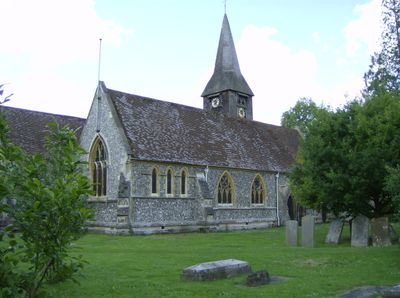
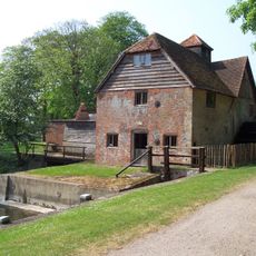
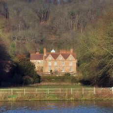
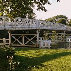
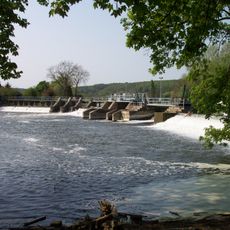
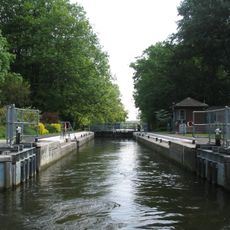
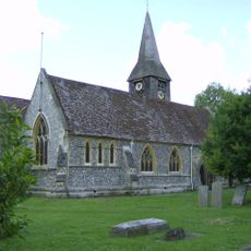
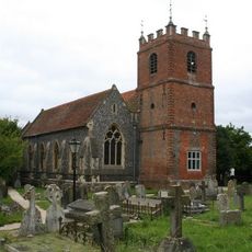
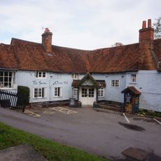
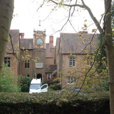
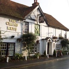
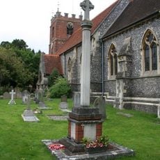
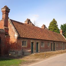
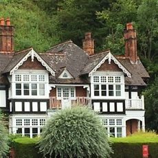
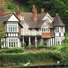
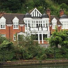
Whitchurch-on-Thames, village and civil parish in South Oxfordshire district, Oxfordshire, England
Posizione: South Oxfordshire
Confina con: Goring-on-Thames, Mapledurham, Goring Heath
Sito web: http://whitchurchonthames.com
Coordinate GPS: 51.49000,-1.08700
Ultimo aggiornamento: 24 marzo 2025 alle 05:16
Mapledurham Watermill
3.5 km
Hardwick House
2.5 km
Beale Park
1.9 km
Whitchurch Bridge
378 m
Mapledurham Lock
3.2 km
Whitchurch Lock
389 m
Church of St Mary
200 m
Church of St James the Less
761 m
Church of St Margaret and Bardolf Aisle
3.5 km
Whitchurch Bridge (Only The Southern Abutment And Part Of The Southern Span Are In Berkshire)
375 m
The Swan Hotel
486 m
Hardwick House Dower House Approximately 5 Metres West
2.5 km
The Cross Keys
742 m
Pangbourne War Memorial
766 m
The Almshouse
3.6 km
Bankside
693 m
Mapledurham WWII Memorial Gates
3.6 km
Northridge
911 m
Milestone At Su 6285 7690
688 m
47, Shooter's Hill
784 m
Cliffdene Keswick House
648 m
Railway Underbridge At Su 6336 7663
567 m
Milestone At Su 6344 7577
1.4 km
Milestone At Su 6175 7800
1.9 km
Milestone At Su 6426 7628
1.2 km
Milestone At Su 6582 7618
2.6 km
Alnutts Hospital And Attached Forecourt Walls And Gate
3.2 km
The Courts Of The Morning
870 mHa visitato questo luogo? Tocchi le stelle per valutarlo e condividere la Sua esperienza o foto con la community! Provalo ora! Puoi annullarlo in qualsiasi momento.
Scopri tesori nascosti ad ogni viaggio!
Da piccoli caffè caratteristici a panorami nascosti, fuggi dalla folla e scova i posti che fanno davvero per te. La nostra app ti semplifica tutto: ricerca vocale, filtri furbi, percorsi ottimizzati e dritte autentiche da viaggiatori di tutto il mondo. Scaricala subito per vivere l'avventura sul tuo smartphone!
Un nuovo approccio alla scoperta turistica❞
— Le Figaro
Tutti i luoghi che meritano di essere esplorati❞
— France Info
Un’escursione su misura in pochi clic❞
— 20 Minutes