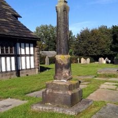
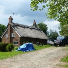
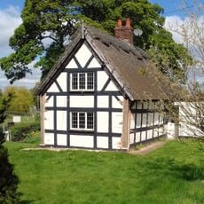
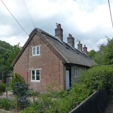
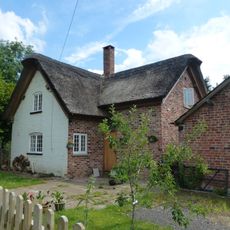
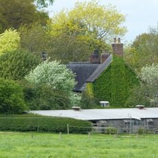
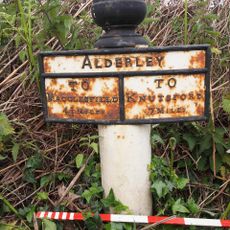
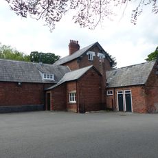
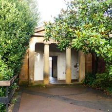
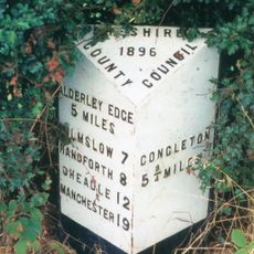
Siddington, village and civil parish in Cheshire, UK
Posizione: Cheshire East
Confina con: Chelford, Marton, Gawsworth, Henbury, Lower Withington
Coordinate GPS: 53.23580,-2.23750
Ultimo aggiornamento: 4 marzo 2025 alle 18:23
Capesthorne Hall
1.8 km
Alderley Park
3.9 km
Henbury Hall, Cheshire
3.3 km
St James' and St Paul's Church, Marton
3.1 km
Birtles Hall
3.9 km
All Saints Church, Siddington
421 m
Icehouse outside west wall of garden at Alderley Park
3.8 km
Churchyard cross at St James' and St Paul's Church
3.1 km
Tenants' Hall at Alderley Park
4 km
Dovecote at Alderley Park
3.9 km
Nursery Lane Cottage
380 m
Oak Farm
2.9 km
Bridge Across The Lake At Capesthorne Hall
1.6 km
Oak Cottage
2.9 km
Pump Cottage
2.9 km
Roadside Cottage Roadside House
478 m
Blake House Cottage
691 m
Training centre and stores at Alderley Park
4 km
Holly Bank Farm
2.1 km
Milepost 330 Metres East Of Road Junction At Monk's Heath
3.2 km
The School House
461 m
Greenacres
2.7 km
Gate piers and gates, centre of east wall of garden at Alderley Park
3.8 km
Entrance arch at south east corner of the walled garden at Alderley Park
3.9 km
Gate piers and gates by Tenants' Hall at Alderley Park
4 km
Milepost, Bagbrook Bridge
2.7 km
Milepost, N of Redes Mere; S of Capesthorne Park
1.3 km
Milepost, S of jct at Siddington
253 mHa visitato questo luogo? Tocchi le stelle per valutarlo e condividere la Sua esperienza o foto con la community! Provalo ora! Puoi annullarlo in qualsiasi momento.
Scopri tesori nascosti ad ogni viaggio!
Da piccoli caffè caratteristici a panorami nascosti, fuggi dalla folla e scova i posti che fanno davvero per te. La nostra app ti semplifica tutto: ricerca vocale, filtri furbi, percorsi ottimizzati e dritte autentiche da viaggiatori di tutto il mondo. Scaricala subito per vivere l'avventura sul tuo smartphone!
Un nuovo approccio alla scoperta turistica❞
— Le Figaro
Tutti i luoghi che meritano di essere esplorati❞
— France Info
Un’escursione su misura in pochi clic❞
— 20 Minutes