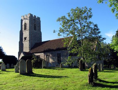
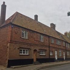
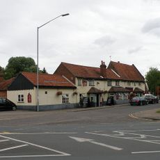
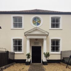
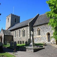
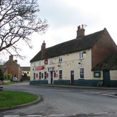
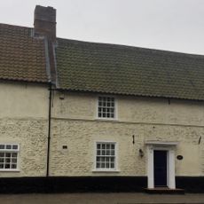
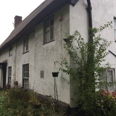
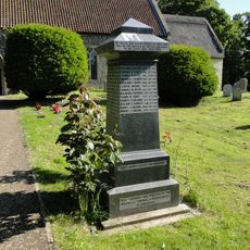
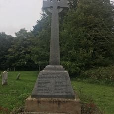
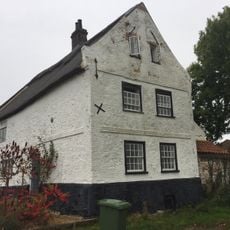
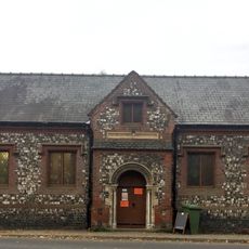
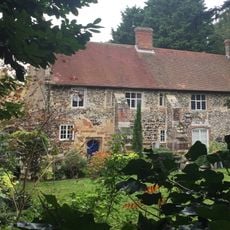
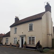
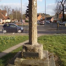
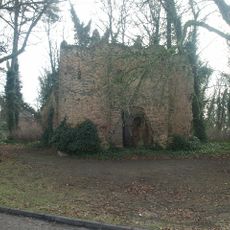
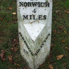
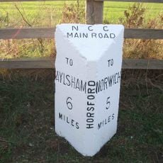
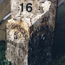
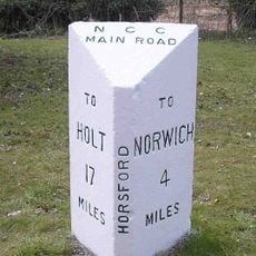
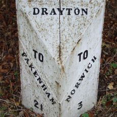
Horsford, village in the United Kingdom
Posizione: Broadland
Sito web: https://horsfordpc.norfolkparishes.gov.uk
Coordinate GPS: 52.70070,1.24120
Ultimo aggiornamento: 6 marzo 2025 alle 01:54
City of Norwich Aviation Museum
3.3 km
Horsford Castle
1.6 km
Manor Park, Horsford
2.8 km
City of Norwich Aviation Museum
3.1 km
Parish Church of All Saints
1.2 km
Church of the Blessed Virgin and St Andrew
2.8 km
Parish Church of St Margaret
2.8 km
2-5, Church Street
2.8 km
The Red Lion
3 km
Methodist Church
2.9 km
Drayton War Memorial
2.8 km
The King's Head Public House
2.9 km
Waytes House
2.8 km
The Kennels
2.8 km
Horsford War Memorial
1.2 km
Horsham St Faith War Memorial
2.8 km
St Faith Priory
2.8 km
The White House
3.1 km
Village Hall
2.9 km
The Priory
2.8 km
The Old Post House
2.9 km
Village cross 160m south of St Margaret's Church
3 km
Drayton Lodge
3.2 km
Milepost, 20yds W of jct with Taverham Rd
3 km
Milepost, c.130m N of road jct
2.7 km
Milepost, N side of The Brickmakers PH
366 m
Milepost, 100m S of jct with Drayton Lane
1.2 km
Milepost, 150yds E of jct with Hurn Rd. Just E of entrance to former David Rice Hospital
3.5 kmHa visitato questo luogo? Tocchi le stelle per valutarlo e condividere la Sua esperienza o foto con la community! Provalo ora! Puoi annullarlo in qualsiasi momento.
Scopri tesori nascosti ad ogni viaggio!
Da piccoli caffè caratteristici a panorami nascosti, fuggi dalla folla e scova i posti che fanno davvero per te. La nostra app ti semplifica tutto: ricerca vocale, filtri furbi, percorsi ottimizzati e dritte autentiche da viaggiatori di tutto il mondo. Scaricala subito per vivere l'avventura sul tuo smartphone!
Un nuovo approccio alla scoperta turistica❞
— Le Figaro
Tutti i luoghi che meritano di essere esplorati❞
— France Info
Un’escursione su misura in pochi clic❞
— 20 Minutes