Attiva posizione

Abbiamo bisogno della tua posizione per mostrarti luoghi interessanti intorno a te

Scopri luoghi nelle vicinanze

Trova luoghi interessanti e gemme nascoste intorno a te

Indicazioni precise

Ottieni indicazioni precise e distanze verso i luoghi

La tua posizione non viene mai condivisa con altri utenti. Viene utilizzata solo quando tocchi il pulsante posizione.

Hartington Town Quarter

Accedi al tuo account

Inizia a esplorare — è gratis

Scelto da 66.881 viaggiatori nel mondo

Continua con Google
Continua con Apple
o

Ti invieremo un codice per connetterti

Continuando, accetti i nostri Termini e Condizioni e la nostra Informativa sulla Privacy

Controlla la tua casella di posta

Abbiamo inviato un codice PIN nella tua casella di posta. Inserisci il codice qui sotto.

Discussion Recensioni 1 Foto
0 Popolarità

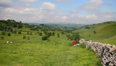
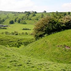
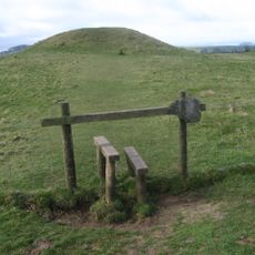
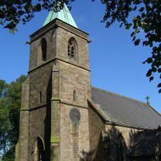
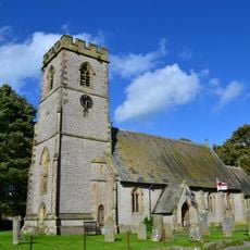
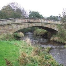
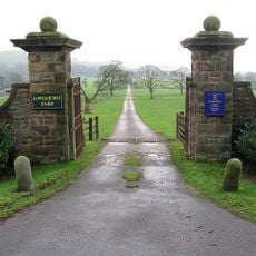
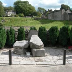
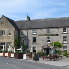
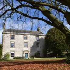
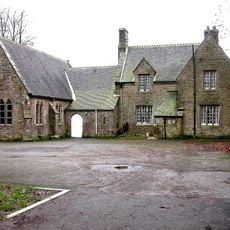
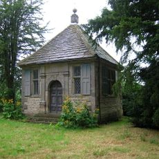
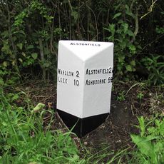
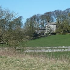
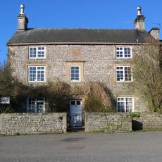
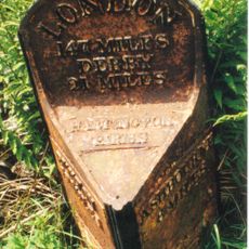
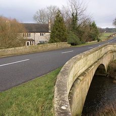
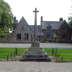
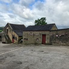
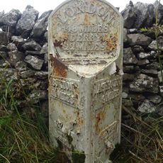
Hartington Town Quarter, civil parish in Derbyshire Dales district, Derbyshire, England

La comunità dei viaggiatori curiosi

AroundUs riunisce migliaia di luoghi selezionati, consigli locali e gemme nascoste, arricchiti ogni giorno da oltre 60,000 contributori in tutto il mondo.

Inizia a esplorare
Posizione
Confina con
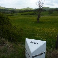
Hartington Middle Quarter, Middleton and Smerrill, Hartington Nether Quarter, Sheen
Coordinate GPS
53.14500,-1.79538
Ultimo aggiornamento
5 marzo 2025 alle 19:29
Intorno a questo luogo
Elmo di Benty Grange
Regno Unito

Elmo di Benty Grange

3.4 km
Arbor Low
Regno Unito

Arbor Low

3.5 km
Hartington Hall
Regno Unito

Hartington Hall

814 m
Pilsbury Castle
Regno Unito

Pilsbury Castle

3.8 km
Gib Hill
Regno Unito

Gib Hill

3.2 km
Church of St Luke
Regno Unito

Church of St Luke

2.5 km
Church of St Giles
Regno Unito

Church of St Giles

920 m
Church of St Thomas
Regno Unito

Church of St Thomas

2.3 km
Bridge over River Manifold (that part in Fawfieldhead CP)/Bridge over River Manifold (that part In Sheen CP)
Regno Unito

Bridge over River Manifold (that part in Fawfieldhead CP)/Bridge over River Manifold (that part In Sheen CP)

3.6 km
Gatepiers, gates and approaches formerly to Beresford Hall (now demolished) 25 metres south of Raikes Farmhouse
Regno Unito

Gatepiers, gates and approaches formerly to Beresford Hall (now demolished) 25 metres south of Raikes Farmhouse

2.3 km
Hartington War Memorial
Regno Unito

Hartington War Memorial

998 m
Charles Cotton Hotel
Regno Unito

Charles Cotton Hotel

1.1 km
Milepost 4 Metres South Of Newhaven House Hotel At Ngr Sk 166 597
Regno Unito

Milepost 4 Metres South Of Newhaven House Hotel At Ngr Sk 166 597

3 km
Milepost Hartington 1 Mile
Regno Unito

Milepost Hartington 1 Mile

2.5 km
New House Farm and attached gate piers
Regno Unito

New House Farm and attached gate piers

3.6 km
Broadmeadow Hall
Regno Unito

Broadmeadow Hall

3.5 km
Dale House
Regno Unito

Dale House

948 m
Pilsbury Farmhouse
Regno Unito

Pilsbury Farmhouse

3.3 km
School and attached School House
Regno Unito

School and attached School House

2.5 km
Charles Cotton's Fishing House
Regno Unito

Charles Cotton's Fishing House

2 km
Milepost Approximately 1 Mile North West Of Gateham Grange
Regno Unito

Milepost Approximately 1 Mile North West Of Gateham Grange

4 km
Cotesfield Farmhouse
Regno Unito

Cotesfield Farmhouse

3.7 km
The Old Vicarage and attached garden wall
Regno Unito

The Old Vicarage and attached garden wall

1 km
Milepost 14 Metres South Of Mount Pleasant Farm At Ngr Sk 167 582
Regno Unito

Milepost 14 Metres South Of Mount Pleasant Farm At Ngr Sk 167 582

4 km
Hartington Bridge
Regno Unito

Hartington Bridge

2 km
Village cross and corner posts approximately 50 metres west of school
Regno Unito

Village cross and corner posts approximately 50 metres west of school

2.6 km
Stable Approximately 10 Metres North Of Low End Farmhouse
Regno Unito

Stable Approximately 10 Metres North Of Low End Farmhouse

3.1 km
Milestone, Buxton Road, Newhaven
Regno Unito

Milestone, Buxton Road, Newhaven

3 km
Mostra la mappa completa
Recensioni
Condividi la tua esperienza

Nessuna recensione

Discussioni
Avvia una discussione...

Nessuna discussione

« Hartington Town Quarter - civil parish in Derbyshire Dales district, Derbyshire, England » è fornito da Around Us (it.aroundus.com). Le immagini e i testi sono tratti dal progetto Wikimedia con licenza Creative Commons. È possibile copiare, distribuire e modificare copie di questa pagina, alle condizioni stabilite dalla licenza, a condizione che questa nota sia chiaramente visibile.

Scopri tesori nascosti ad ogni viaggio!

Da piccoli caffè caratteristici a panorami nascosti, fuggi dalla folla e scova i posti che fanno davvero per te. La nostra app ti semplifica tutto: ricerca vocale, filtri furbi, percorsi ottimizzati e dritte autentiche da viaggiatori di tutto il mondo. Scaricala subito per vivere l'avventura sul tuo smartphone!

Around Us App Screenshot

Un nuovo approccio alla scoperta turistica

Le Figaro

Tutti i luoghi che meritano di essere esplorati

France Info

Un’escursione su misura in pochi clic

20 Minutes

Around Us
Guida di viaggio e mappe
Scarica

Invia al tuo telefono

QR Code
1

Apri l'app fotocamera sul tuo cellulare.

2

Inquadra il codice QR con la fotocamera. Apparirà una notifica.

3

Tocca la notifica per aprire il link.