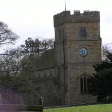
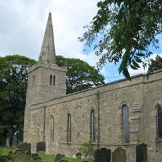
High Coniscliffe, village in United Kingdom
Posizione: Darlington
Confina con: Denton
Coordinate GPS: 54.53684,-1.64777
Ultimo aggiornamento: 5 marzo 2025 alle 00:42
Walworth Castle
2.3 km
Piercebridge Roman Fort
1.8 km
Ponte romano
1.5 km
Ulnaby
1.9 km
Thornton Hall
1.5 km
Piercebridge Roman Fort
1.8 km
Church of All Saints
2.5 km
Church of St Edwin
633 m
Church of St Mary
1.8 km
Dovecote And Single Storey Range To South Of Parkside Farmhouse
2.8 km
Haybarn And Attached Shed South Of Parkside Farmhouse
2.8 km
George Hotel
1.7 km
Carlbury Bridge
1.7 km
Ivy House
1.9 km
Milepost South Of Carlbury Hall
1.3 km
Ice House To East Of Quarry End
3.3 km
Barn To North Of North Farm Farmhouse
3.3 km
Piercebridge Bridge
1.8 km
The Bridge House
1.8 km
The Old Hall
546 m
Medieval Chapel Ruins On Roman Foundations In Rear Garden Of Bath House, Tees View
1.9 km
Milepost In Front Of Number 12 (Cedar Ridge)
2.1 km
Wall, Gate Piers, Overthrow And Lantern To West Of Church Of St Mary
1.9 km
Round barrow 340m east of Cliffe Hall known as Betty Watson's Hill
1.9 km
2, The Green
1.9 km
Threshing Barn And Gin Gang East Of Walworth Grange Farmhouse
3.1 km
28, The Green
1.8 km
Milepost At High Coniscliffe Bridge
658 mHa visitato questo luogo? Tocchi le stelle per valutarlo e condividere la Sua esperienza o foto con la community! Provalo ora! Puoi annullarlo in qualsiasi momento.
Scopri tesori nascosti ad ogni viaggio!
Da piccoli caffè caratteristici a panorami nascosti, fuggi dalla folla e scova i posti che fanno davvero per te. La nostra app ti semplifica tutto: ricerca vocale, filtri furbi, percorsi ottimizzati e dritte autentiche da viaggiatori di tutto il mondo. Scaricala subito per vivere l'avventura sul tuo smartphone!
Un nuovo approccio alla scoperta turistica❞
— Le Figaro
Tutti i luoghi che meritano di essere esplorati❞
— France Info
Un’escursione su misura in pochi clic❞
— 20 Minutes