
Ashford Bowdler, village in the United Kingdom
Posizione: Shropshire
Coordinate GPS: 52.33150,-2.71100
Ultimo aggiornamento: 8 marzo 2025 alle 07:08
St Bartholomew's Church
3.2 km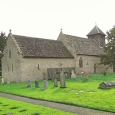
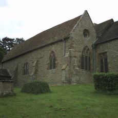
Church of St Mary
949 m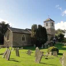
Church of St Michael
3.3 km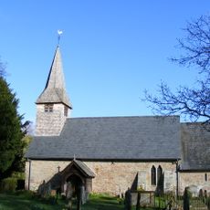
Church of St Andrew
300 m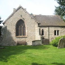
Church of St Giles
3.5 km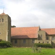
Church of All Saints
2.2 km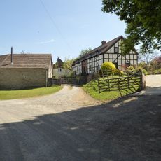
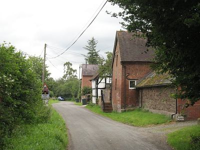
Church House
3.2 km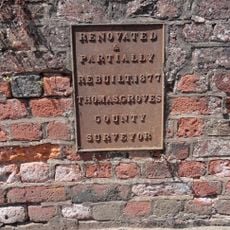
Ashford Bridge At Ngr So 5200 7113
611 m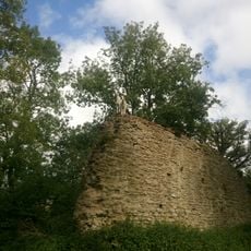
Richard's Castle
3.2 km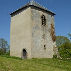
Tower about 10 metres east of Church of St Bartholomew
3.2 km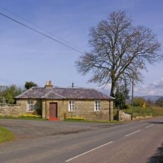
House At The Entrance To The Lodge
1.9 km
Gates And Piers And Walls To South West Of House At Entrance To The Lodge
1.9 km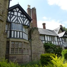
Charlton House Garden House Ludford House St Giles House
3.5 km
Gates and piers to north of lodge to Moor Park
2 km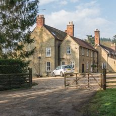
Overton
2.1 km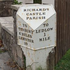
Milepost at NGR SO 5099 7305
2.5 km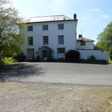
Church House Including Service Wings
259 m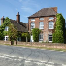
The Serpent
2.1 km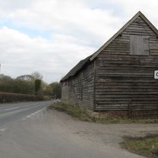
Barn About 10 Metres North Of Comberton Farmhouse
3.5 km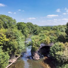
Teme Aqueduct At Ngr So 5368 6878 (That Part In Richards Castle Cp)
2.8 km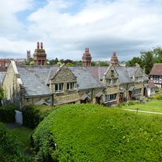
St Giles's Hospital
3.6 km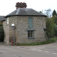
Policeman's Corner
2.1 km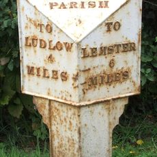
Milepost, Bilbury Cottage , opp. sewage pumping station
2.7 km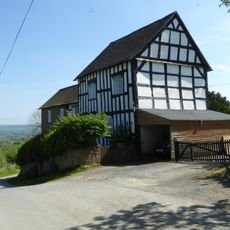
Green Farmhouse
3.1 km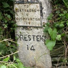
Milestone, Comberton; 30m E jcn Orleton turn
3.5 km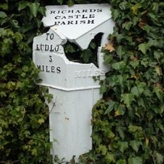
Milepost, Rose House
2.1 km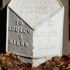
Milepost, Overton
2.2 km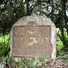
Milestone, Woofferton; 15m E Turnpike Cottage
2.5 kmHa visitato questo luogo? Tocchi le stelle per valutarlo e condividere la Sua esperienza o foto con la community! Provalo ora! Puoi annullarlo in qualsiasi momento.
Scopri tesori nascosti ad ogni viaggio!
Da piccoli caffè caratteristici a panorami nascosti, fuggi dalla folla e scova i posti che fanno davvero per te. La nostra app ti semplifica tutto: ricerca vocale, filtri furbi, percorsi ottimizzati e dritte autentiche da viaggiatori di tutto il mondo. Scaricala subito per vivere l'avventura sul tuo smartphone!

Un nuovo approccio alla scoperta turistica❞
— Le Figaro
Tutti i luoghi che meritano di essere esplorati❞
— France Info
Un’escursione su misura in pochi clic❞
— 20 Minutes