
Woodland, hamlet and civil parish in Devon, England
Posizione: Teignbridge
Coordinate GPS: 50.50637,-3.72408
Ultimo aggiornamento: 2 marzo 2025 alle 23:14
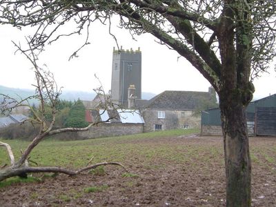
West Ogwell Church
4.2 km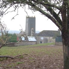
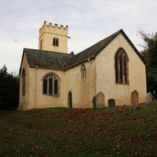
Church of St John the Baptist
1.3 km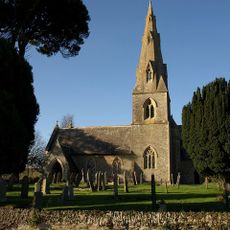
Church of St Matthew
2.5 km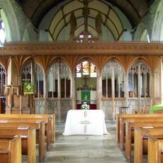
Church of St Peter and St Paul
3.4 km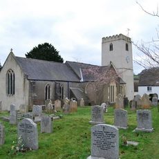
Church of St Mary the Virgin
4.5 km
Chapel Of St Lawrence
2.4 km
The Monk's Retreat Inn
3.4 km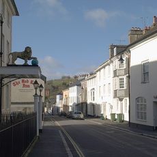
The Golden Lion Hotel
2.3 km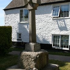
Socket-Stone Of Cross 7M North Church Tower Of St Mary The Virgin
4.5 km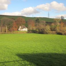
Wayseford
1 km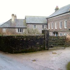
Beaston, Including Forecourt Containing Wall And Gate Piers To North-north-east
3 km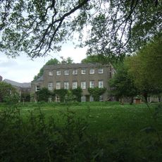
The Convent
4.3 km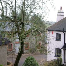
Lower Woodland Farmhouse
1.3 km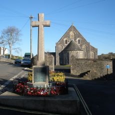
Ashburton War Memorial
2.3 km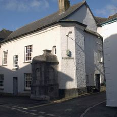
Conduit Head Attached To Front Of 67a
2.3 km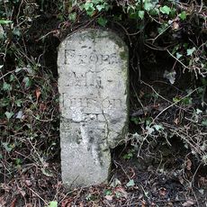
Milestone At Sx 7690 7083
2.2 km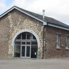
Warehouse At Sx 7568 6970 Warehouse At Sx 7568 6970 (Former Railway Goods Shed)
2.3 km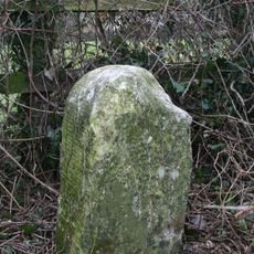
Milestone At Sx 7820 7170
2.9 km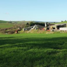
Hallswell
1.1 km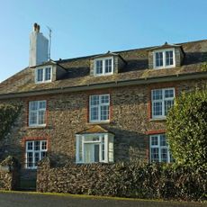
Tidwell Farmhouse
2.7 km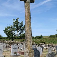
Cross In Churchyard 21 Metres North Of North East Corner Of Church Of St John The Baptist
1.3 km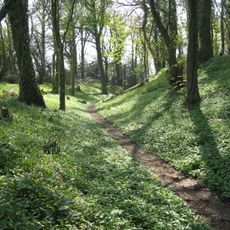
Denbury camp
3.8 km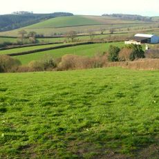
Dipwell Farmhouse
972 m
57, East Street
2.4 km
Younghouse Farmhouse
1.4 km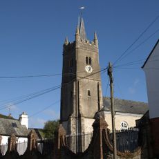
Gate Piers And Boundary Wall In Front Of Chapel Of St Lawrence
2.4 km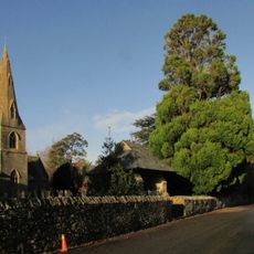
Lych Gate To South East Of St Matthew Church
2.5 km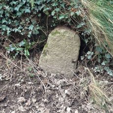
Milestone, Whistley Hill Cross, 10m down road to Dipwell
1.4 kmRecensioni
Ha visitato questo luogo? Tocchi le stelle per valutarlo e condividere la Sua esperienza o foto con la community! Provalo ora! Puoi annullarlo in qualsiasi momento.
Scopri tesori nascosti ad ogni viaggio!
Da piccoli caffè caratteristici a panorami nascosti, fuggi dalla folla e scova i posti che fanno davvero per te. La nostra app ti semplifica tutto: ricerca vocale, filtri furbi, percorsi ottimizzati e dritte autentiche da viaggiatori di tutto il mondo. Scaricala subito per vivere l'avventura sul tuo smartphone!

Un nuovo approccio alla scoperta turistica❞
— Le Figaro
Tutti i luoghi che meritano di essere esplorati❞
— France Info
Un’escursione su misura in pochi clic❞
— 20 Minutes