
Fulstow, Insediamento umano inglese
Posizione: East Lindsey
Coordinate GPS: 53.45620,-0.00400
Ultimo aggiornamento: 5 aprile 2025 alle 11:57
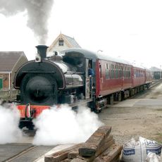
Lincolnshire Wolds Railway
2.3 km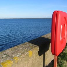
Covenham Reservoir
2.4 km
St Mary's Church, North Cockerington
7.3 km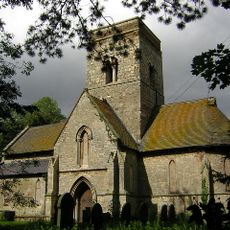
St Martin's Church
5.4 km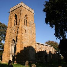
St John the Baptist's Church, Yarburgh
4.9 km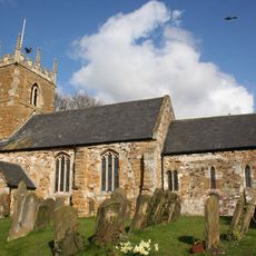
St Helen's Church, North Thoresby
3.9 km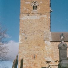
Church of St Peter
6.7 km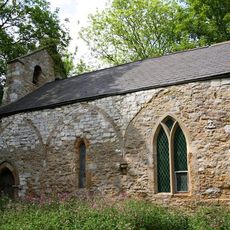
Church of Saint Margaret, Hawerby cum Beesby
6.5 km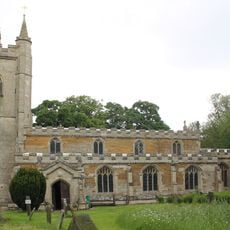
Church of St Mary
3.7 km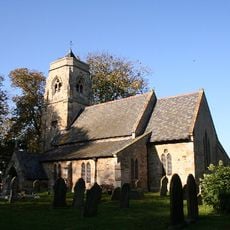
Church of St Nicholas
4.1 km
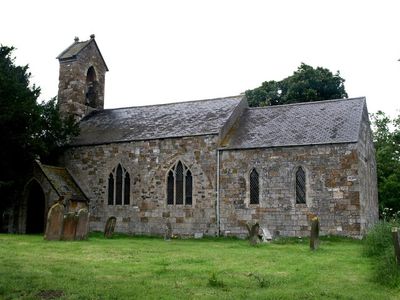
Church of St Lawrence
457 m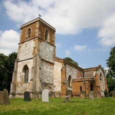
Church of St Andrew
4.6 km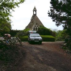
Church of St Helen and Tomb Enclosure
5.5 km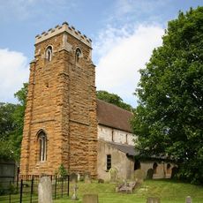
Church of St Mary
3.5 km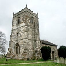
Church of St Adelwold
7.3 km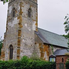
Church of St Mary
3.3 km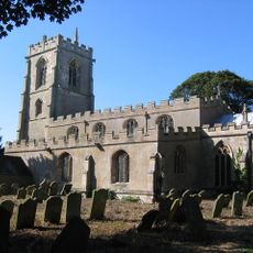
Church of St Clement
6.2 km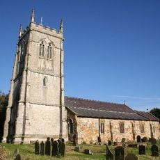
Church of St Peter and St Paul
3.7 km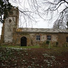
Church of St Nicholas
5.3 km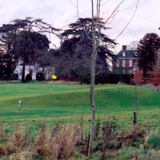
Church of St Edith
6 km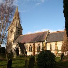
Church of St Mary
5.7 km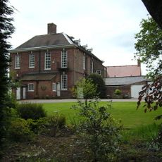
Little Grimsby Hall
6 km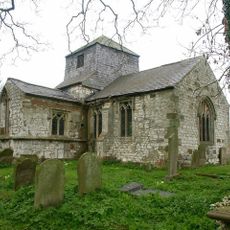
Church of St Bartholomew
3.1 km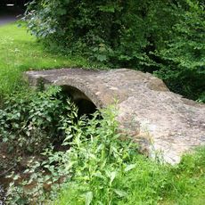
Packhorse Bridge
4.6 km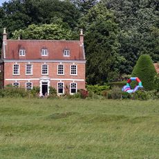
Brackenborough Hall
6.7 km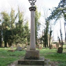
Cross in St Martin's churchyard
5.4 km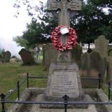
Covenham St Bartholomew War Memorial
3.1 km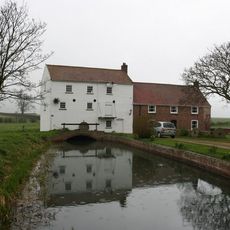
Watermill
7.2 kmHa visitato questo luogo? Tocchi le stelle per valutarlo e condividere la Sua esperienza o foto con la community! Provalo ora! Puoi annullarlo in qualsiasi momento.
Scopri tesori nascosti ad ogni viaggio!
Da piccoli caffè caratteristici a panorami nascosti, fuggi dalla folla e scova i posti che fanno davvero per te. La nostra app ti semplifica tutto: ricerca vocale, filtri furbi, percorsi ottimizzati e dritte autentiche da viaggiatori di tutto il mondo. Scaricala subito per vivere l'avventura sul tuo smartphone!

Un nuovo approccio alla scoperta turistica❞
— Le Figaro
Tutti i luoghi che meritano di essere esplorati❞
— France Info
Un’escursione su misura in pochi clic❞
— 20 Minutes