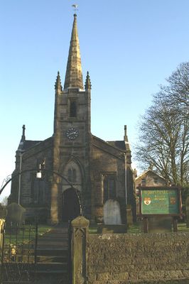
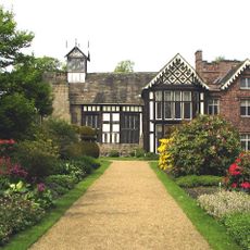
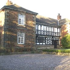
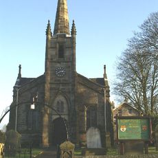
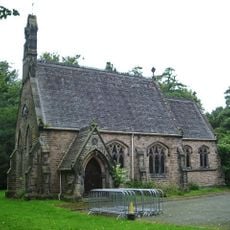
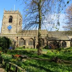
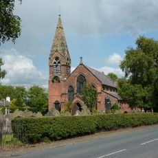
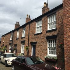
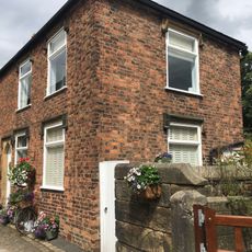
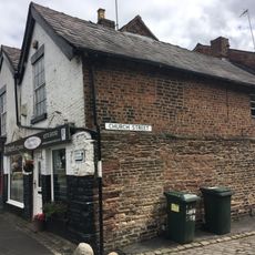
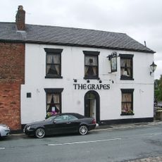
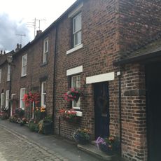
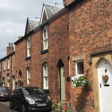
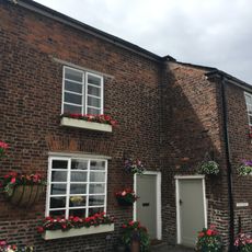
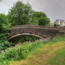
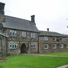
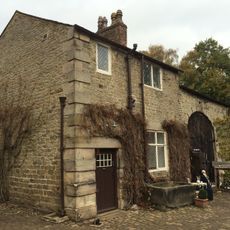
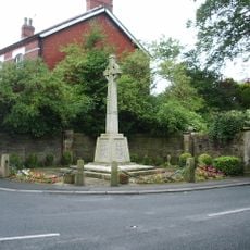
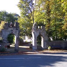
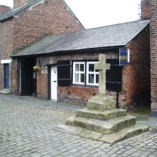
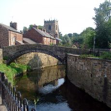
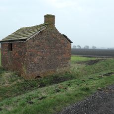
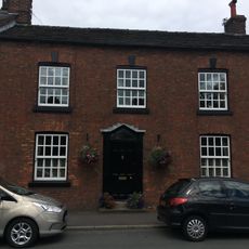
Mawdesley, village and civil parish in Lancashire, UK
Posizione: Chorley
Confina con: Sollom
Coordinate GPS: 53.62497,-2.77059
Ultimo aggiornamento: 5 marzo 2025 alle 03:49
Rufford Old Hall
3.2 km
Mawdesley Hall
848 m
St Peter's Church, Mawdesley
230 m
Roman Catholic Church of the Holy Cross
3.5 km
Church of St Michael
3.8 km
Church of St Mary the Virgin, Rufford
2.9 km
13 and 15, Church Street
3.9 km
4, 6, 8 and 10, Church Street
3.9 km
16, Church Street
3.9 km
66 and 68 Town Road including 2 Church Street
3.9 km
The Grapes Hotel
4 km
3, 5, 7, 9 and 11, Church Street
3.9 km
12 and 14, Church Street
3.9 km
1, Church Street
3.9 km
Croston Mill Bridge
3.5 km
School in churchyard of Church of St Michael
3.8 km
Cottage, coach house and stables, Rufford Old Hall
3.2 km
Croston War Memorial
3.9 km
Gateway To Croston Rectory
3.9 km
Cross In Church Street Opposite The Smithy
3.9 km
Croston Town Bridge
3.9 km
Agricultural shelter and stable
2.4 km
57, Town Road
4 km
63 And 65, Town Road
4 km
Rectory
3.9 km
59 and 61, Town Road
4 km
Mawdesley War Memorial
868 m
The Smithy
3.9 kmHa visitato questo luogo? Tocchi le stelle per valutarlo e condividere la Sua esperienza o foto con la community! Provalo ora! Puoi annullarlo in qualsiasi momento.
Scopri tesori nascosti ad ogni viaggio!
Da piccoli caffè caratteristici a panorami nascosti, fuggi dalla folla e scova i posti che fanno davvero per te. La nostra app ti semplifica tutto: ricerca vocale, filtri furbi, percorsi ottimizzati e dritte autentiche da viaggiatori di tutto il mondo. Scaricala subito per vivere l'avventura sul tuo smartphone!
Un nuovo approccio alla scoperta turistica❞
— Le Figaro
Tutti i luoghi che meritano di essere esplorati❞
— France Info
Un’escursione su misura in pochi clic❞
— 20 Minutes