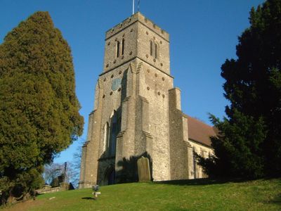
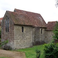
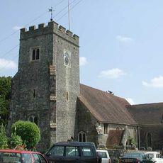
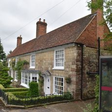
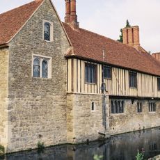
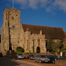
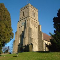
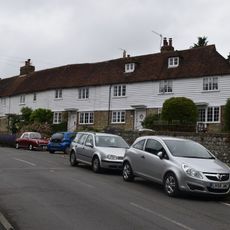
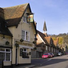
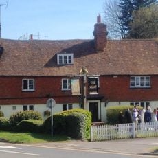
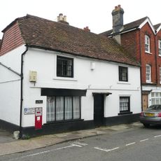
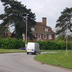
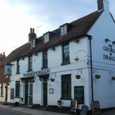
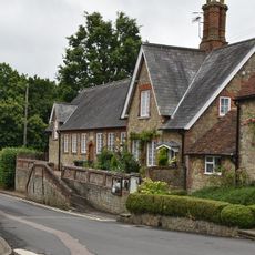
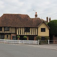
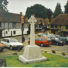
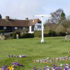
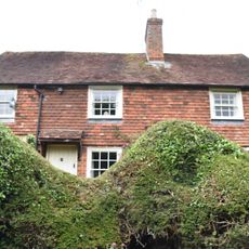
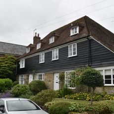
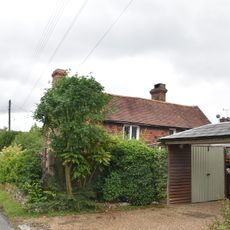
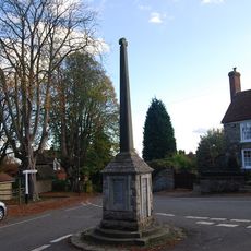
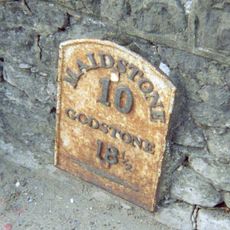
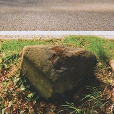
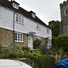
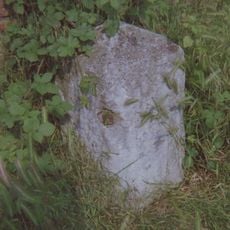
Platt, village and civil parish in Kent, UK
Posizione: Tonbridge and Malling
Confina con: Wrotham
Coordinate GPS: 51.28658,0.33540
Ultimo aggiornamento: 5 marzo 2025 alle 11:37
Old Soar Manor
2.8 km
Bourne Alder Carr
3 km
Plaxtol Church
4.2 km
Church House The Old Post Office
4.2 km
Church of St Peter
3.5 km
Church of St George
3 km
Church of St Mary
766 m
Church Row
4.2 km
The Bull Hotel
2.9 km
The Three Post Boys Public House
3 km
Moat Restaurant
2.2 km
The Post Office
3 km
Nepicar House
1.6 km
The George And Dragon Public House
3 km
Former Schoolmasters House School (Now Memorial Hall)
4.2 km
Milestone, London Road, by "Sundown", nr jct with Seven Mile Lane
1.6 km
Old Forge House
3.4 km
Ightham War Memorial
3.4 km
Quintain House
2.8 km
Wickenden Farmhouse
3.9 km
Buddleia Cottage Old Well House
4.2 km
Manderley
3.7 km
Plaxtol War Memorial
4.2 km
Milestone, Old London Road, W of jct with High Street, opp. Coach Lodge
3.2 km
Milestone, Maidstone Road, Brough Green, by church
2.2 km
Milestone, Seven Mile Lane, half mile N of Beech Road, by 50 sign
1.9 km
Church Row
4.2 km
Milestone, London Road, by Old Napicar Cottage, opp. Nepicar Oast House, S of The Mount PH
2.2 kmRecensioni
Ha visitato questo luogo? Tocchi le stelle per valutarlo e condividere la Sua esperienza o foto con la community! Provalo ora! Puoi annullarlo in qualsiasi momento.
Scopri tesori nascosti ad ogni viaggio!
Da piccoli caffè caratteristici a panorami nascosti, fuggi dalla folla e scova i posti che fanno davvero per te. La nostra app ti semplifica tutto: ricerca vocale, filtri furbi, percorsi ottimizzati e dritte autentiche da viaggiatori di tutto il mondo. Scaricala subito per vivere l'avventura sul tuo smartphone!
Un nuovo approccio alla scoperta turistica❞
— Le Figaro
Tutti i luoghi che meritano di essere esplorati❞
— France Info
Un’escursione su misura in pochi clic❞
— 20 Minutes