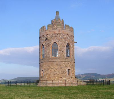
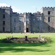
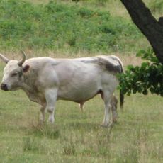
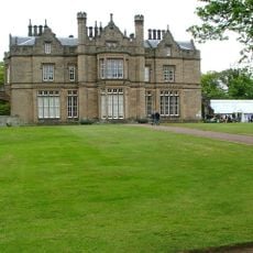
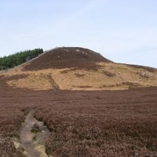
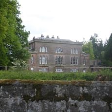
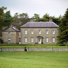
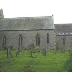
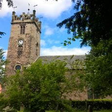
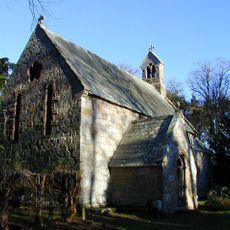
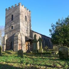
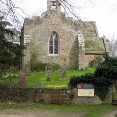
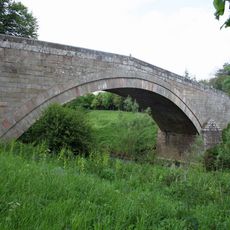
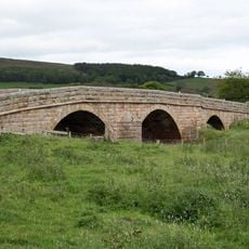
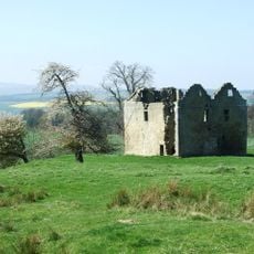
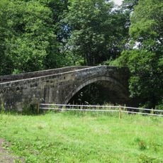
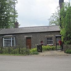
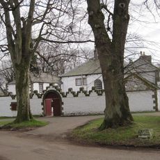
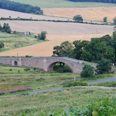
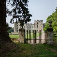
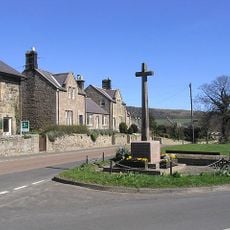
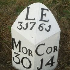
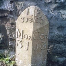
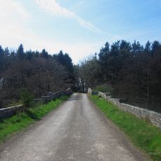
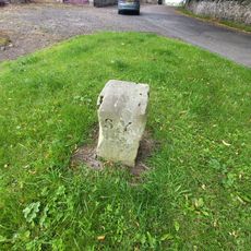
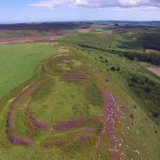
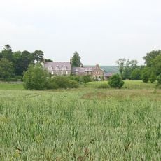
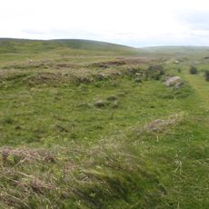
Lilburn, village in Northumberland, UK
Posizione: Northumberland
Coordinate GPS: 55.51400,-1.95800
Ultimo aggiornamento: 21 marzo 2025 alle 16:12
Castello di Chillingham
3.6 km
Chillingham Cattle
4.8 km
Lilburn Tower
261 m
Ros Hill
5.4 km
Fowberry Tower
5 km
Roddam Hall
4 km
Holy Cross Church
4.8 km
Church of St Mary
5 km
Church of Holy Trinity
4.7 km
Church of St Michael
2.8 km
Church of St Peter
3.8 km
Fowberry Bridge
5.1 km
Chatton Bridge
5.2 km
Hepburn Bastle
4.3 km
Bewick Bridge
3.6 km
The Post Office
3.3 km
Middleton Hall
4 km
Weetwood Bridge
5.1 km
Garden Wall And Gateway South East Of Chillingham Castle
3.7 km
Chatton War Memorial
4.8 km
Milepost Circa 1/4 Mile North Of Haugh Head
3.5 km
Milepost By Millvale
5 km
Newton Bridge
2.3 km
Boundary Stone Circa 20 Yards South Of North Yearle Farm Buildings
4.4 km
Bewick Hill camp
5.6 km
Hetton House
5.3 km
Round cairn 850m, and two Romano-British farmsteads, associated trackway, moated site, medieval settlement and field system 900m
4.6 km
Milepost, Lilburn Tower, in cutting
1.2 kmRecensioni
Ha visitato questo luogo? Tocchi le stelle per valutarlo e condividere la Sua esperienza o foto con la community! Provalo ora! Puoi annullarlo in qualsiasi momento.
Scopri tesori nascosti ad ogni viaggio!
Da piccoli caffè caratteristici a panorami nascosti, fuggi dalla folla e scova i posti che fanno davvero per te. La nostra app ti semplifica tutto: ricerca vocale, filtri furbi, percorsi ottimizzati e dritte autentiche da viaggiatori di tutto il mondo. Scaricala subito per vivere l'avventura sul tuo smartphone!
Un nuovo approccio alla scoperta turistica❞
— Le Figaro
Tutti i luoghi che meritano di essere esplorati❞
— France Info
Un’escursione su misura in pochi clic❞
— 20 Minutes