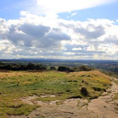
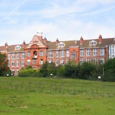
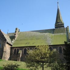
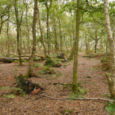
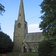
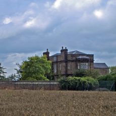
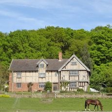
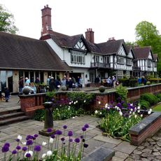
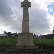
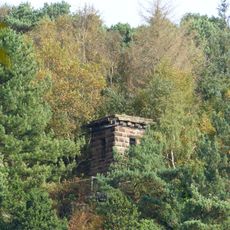
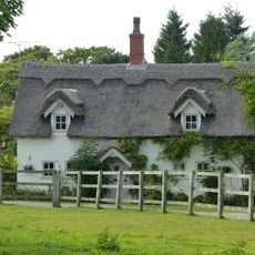
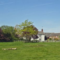
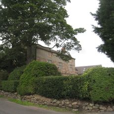
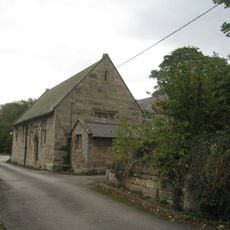
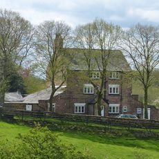
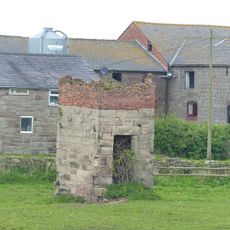
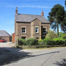
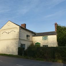
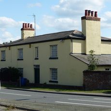
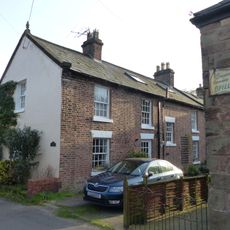
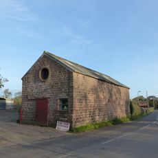
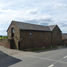
Manley, village and civil parish in Cheshire West and Chester, United Kingdom
Posizione: Cheshire West and Chester
Confina con: Dunham-on-the-Hill and Hapsford, Ashton Hayes and Horton-cum-Peel, Kingsley, Frodsham, Delamere and Oakmere, Alvanley, Norley, Barrow, Mouldsworth
Coordinate GPS: 53.25000,-2.73333
Ultimo aggiornamento: 5 maggio 2025 alle 07:17
Helsby hill fort
3.3 km
Crossley Hospital East
1.8 km
St Paul's Church, Helsby
3.6 km
Woodhouse Hill Camp
3 km
St John the Evangelist's Church, Ashton Hayes
3 km
Peel Hall
3.3 km
Austerson Old Hall
671 m
Manley Knoll
293 m
Black Lake Nature Reserve
3.2 km
Alvanley Hall
1.2 km
St John the Evangelist's Church, Alvanley
1.9 km
Church of St Cuthbert by the Forest
2.2 km
Helsby War Memorial
3.6 km
Folly tower south west of Fox Hill
2.3 km
Ash Cottage
2.1 km
Commonside Farmhouse
1.7 km
Mouldsworth Hall
2.3 km
Ashton Hall Farmhouse
3.8 km
Ashton Village Hall
3 km
The Paddocks
1.7 km
Guidepost At Four Lane End
1.3 km
Dovecot 45 metres east of Manley Old Hall
727 m
Manor House Farmhouse
2.9 km
Poplar Tree Farmhouse
2.2 km
Horns Farmhouse
3.4 km
Alvanley House
2.9 km
Shippon stable and cartshed 10 metres south east of Poplar Tree Farmhouse
2.2 km
L-shaped farm building 15 metres south east of Riley Bank Farmhouse
1.8 kmRecensioni
Ha visitato questo luogo? Tocchi le stelle per valutarlo e condividere la Sua esperienza o foto con la community! Provalo ora! Puoi annullarlo in qualsiasi momento.
Scopri tesori nascosti ad ogni viaggio!
Da piccoli caffè caratteristici a panorami nascosti, fuggi dalla folla e scova i posti che fanno davvero per te. La nostra app ti semplifica tutto: ricerca vocale, filtri furbi, percorsi ottimizzati e dritte autentiche da viaggiatori di tutto il mondo. Scaricala subito per vivere l'avventura sul tuo smartphone!
Un nuovo approccio alla scoperta turistica❞
— Le Figaro
Tutti i luoghi che meritano di essere esplorati❞
— France Info
Un’escursione su misura in pochi clic❞
— 20 Minutes