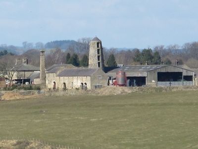
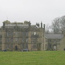
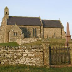
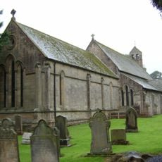
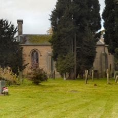
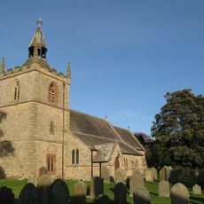
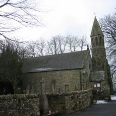
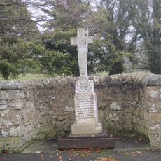
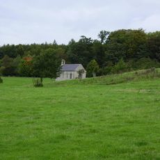
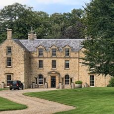
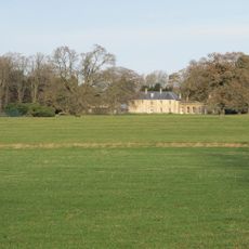
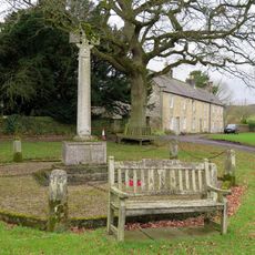
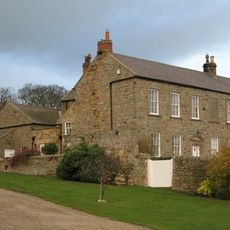
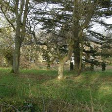
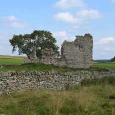
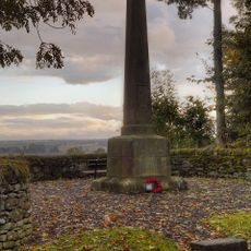
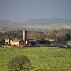
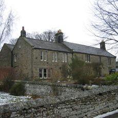
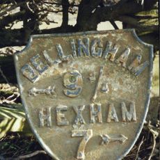
Chollerton, village and civil parish in Northuberland, United Kingdom
Posizione: Northumberland
Coordinate GPS: 55.04600,-2.10300
Ultimo aggiornamento: 6 marzo 2025 alle 19:44
Dere Street
2.7 km
Chipchase Castle
6.2 km
Colt Crag Reservoir
5.8 km
Milecastle 30
6 km
Haughton Castle
1.8 km
Church of St Christopher
4 km
Church of St Mary
4.3 km
Church of St Aidan, Throckington
6.9 km
Church of St Mungo, Simonsburn
6.5 km
Church of St Peter
1.8 km
Church of St Giles
628 m
Church of St Giles
8 km
Birtley War Memorial
8 km
Chapel At Chipchase Castle
6.1 km
Hallington Hall
5.9 km
Swinburne Castle And Attached Stable
3 km
Simonburn War Memorial, Village Green
6.5 km
Univallate hillfort in Oxhill Plantation, 450m north-east of Great Swinburne
3.4 km
Errington Farmhouse And Garden Wall To West
2.6 km
Wester Hall
1.9 km
Little Swinburne Tower
5.6 km
Humshaugh War Memorial
2.2 km
Farmbuilding C50 Yards East Of Chollerton Farmhouse
422 m
The Manor House
8.1 km
Pair Of Milestones C. 1/4 Mile West Of A68
2.3 km
Milepost On North Side Of Road Junction At Keepershield
3.5 km
Gate Piers C100 Yards North Of Chipchase Castle
6.3 km
Milestone, Fell House, Little Swinburn
5.1 kmHa visitato questo luogo? Tocchi le stelle per valutarlo e condividere la Sua esperienza o foto con la community! Provalo ora! Puoi annullarlo in qualsiasi momento.
Scopri tesori nascosti ad ogni viaggio!
Da piccoli caffè caratteristici a panorami nascosti, fuggi dalla folla e scova i posti che fanno davvero per te. La nostra app ti semplifica tutto: ricerca vocale, filtri furbi, percorsi ottimizzati e dritte autentiche da viaggiatori di tutto il mondo. Scaricala subito per vivere l'avventura sul tuo smartphone!
Un nuovo approccio alla scoperta turistica❞
— Le Figaro
Tutti i luoghi che meritano di essere esplorati❞
— France Info
Un’escursione su misura in pochi clic❞
— 20 Minutes