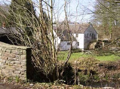
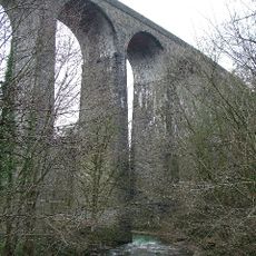
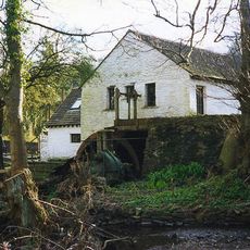
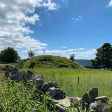
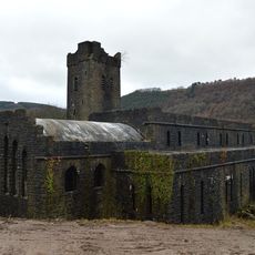
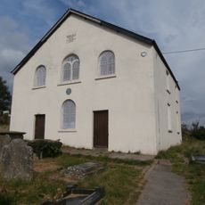
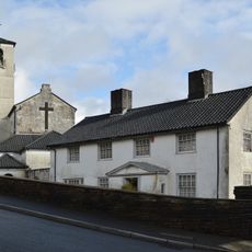
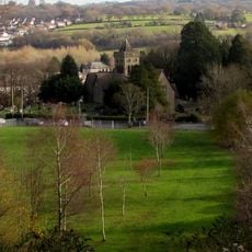
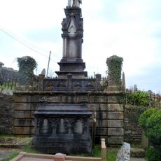
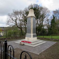
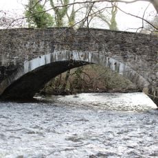
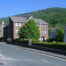
Pontllanfraith, village in United Kingdom
Posizione: Caerphilly County Borough
Coordinate GPS: 51.65400,-3.19300
Ultimo aggiornamento: 7 marzo 2025 alle 02:20
Hengoed Viaduct
2.3 km
Gelli-groes Mill
1 km
St Anne's Church, Cefn Hengoed
3 km
Blackwood Miners Welfare Institute
1.7 km
Twyn Tudur
2.6 km
Church of St Luke
4.1 km
Blackwood Little Theatre
1.7 km
Hen Dy Cwrdd; Hengoed Welsh Baptist Chapel
2.8 km
Church Of Our Lady Of Peace And Attached Presbytery
4 km
Church of Holy Trinity
3.5 km
Blackwood Library
1.1 km
Capel y Babell
4.4 km
Church of St Paul
3.3 km
Beulah Welsh Baptist Chapel
3.7 km
Celynen Collieries Workmen's Institute
3.4 km
Abercarn Library
4.1 km
Ystrad Mynach Library
3.2 km
Oakdale Library
2.9 km
Islwyn Monument in Babell Cemetery
4.4 km
Monuments to James Thomas and family at New Bethel
1.7 km
Pengam & Fleur de Lis war memorial
2.5 km
Pont Syr Dafydd
2.9 km
Abercarn War Memorial
4.1 km
Tir-y-berth County Primary School
2.7 km
Former Hall's tramroad and railway tunnel W portal
2.1 km
Former Hall's tramroad and railway tunnel E portal
2.3 km
Tabor Welsh Congregational Chapel
2.2 km
Old Fire Station
3.6 kmRecensioni
Ha visitato questo luogo? Tocchi le stelle per valutarlo e condividere la Sua esperienza o foto con la community! Provalo ora! Puoi annullarlo in qualsiasi momento.
Scopri tesori nascosti ad ogni viaggio!
Da piccoli caffè caratteristici a panorami nascosti, fuggi dalla folla e scova i posti che fanno davvero per te. La nostra app ti semplifica tutto: ricerca vocale, filtri furbi, percorsi ottimizzati e dritte autentiche da viaggiatori di tutto il mondo. Scaricala subito per vivere l'avventura sul tuo smartphone!
Un nuovo approccio alla scoperta turistica❞
— Le Figaro
Tutti i luoghi che meritano di essere esplorati❞
— France Info
Un’escursione su misura in pochi clic❞
— 20 Minutes