
Parish Church of St Mary the Virgin, church in Steeple Bumpstead, Essex, UK
Posizione: Steeple Bumpstead
Inizio: 11 secolo
Coordinate GPS: 52.04250,0.44676
Ultimo aggiornamento: 3 marzo 2025 alle 02:44

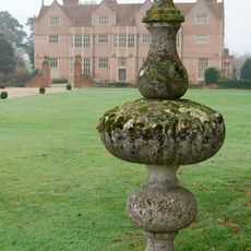
Moyns Park
1.6 km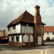
The Moot Hall
115 m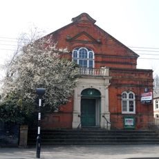
Corn Exchange
4.8 km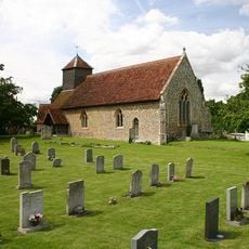
Church of St Leonard
4.4 km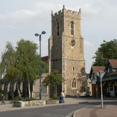
Church of St Mary
4.5 km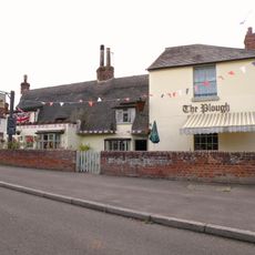
The Plough Inn
2.8 km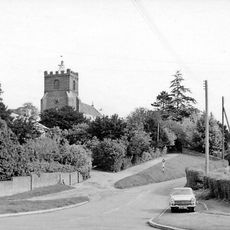
Parish Church of St Andrew
2.8 km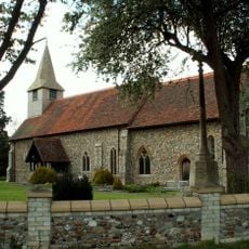
Parish Church of St Augustine
2.8 km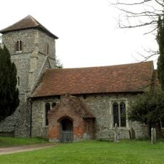
Parish Church of St Mary the Virgin
3.1 km
Church of St Andrew
5.4 km
Old Independent Church
4.1 km
Parish Church of St Peter and St Thomas
4.7 km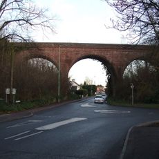
The Sturmer Arches
3.7 km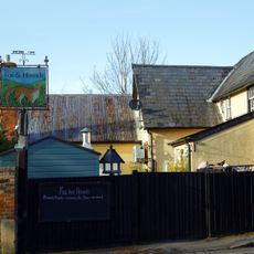
The Fox And Hounds Public House
110 m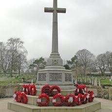
Haverhill War Memorial
4.9 km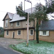
The Red Lion Public House
4.8 km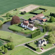
Bridge Approximately 10 Metres South Of Latchleys Farmhouse
1.7 km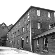
Chauntry Clothing Mills
4.4 km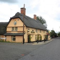
The Red Lion Public House
3.4 km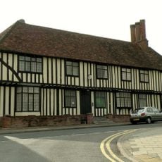
Anne Of Cleves House
4 km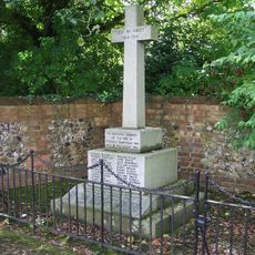
Steeple Bumpstead War Memorial
114 m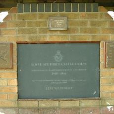
RAF Castle Camps WWII Memorial
4.6 km
Latchleys Farmhouse
1.7 km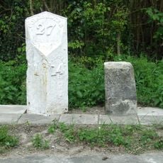
Milestone and milepost standing on the south side of Rowley Hill (A1017), around 60m south-east of its junction with Church Walk
3.3 km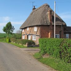
Little Bulls Farmhouse
2.3 km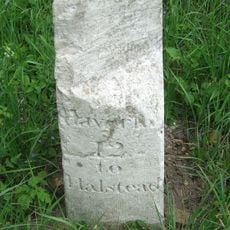
Milestone 230 Metres South West Of Baythorne Hall At Ngr 718 425
4.1 km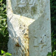
Milestone, Rowley Hill, W of jct with Church Croft
3.3 km
Milepost, Rowley Hill, W of jct with Church Croft
3.3 kmHa visitato questo luogo? Tocchi le stelle per valutarlo e condividere la Sua esperienza o foto con la community! Provalo ora! Puoi annullarlo in qualsiasi momento.
Scopri tesori nascosti ad ogni viaggio!
Da piccoli caffè caratteristici a panorami nascosti, fuggi dalla folla e scova i posti che fanno davvero per te. La nostra app ti semplifica tutto: ricerca vocale, filtri furbi, percorsi ottimizzati e dritte autentiche da viaggiatori di tutto il mondo. Scaricala subito per vivere l'avventura sul tuo smartphone!

Un nuovo approccio alla scoperta turistica❞
— Le Figaro
Tutti i luoghi che meritano di essere esplorati❞
— France Info
Un’escursione su misura in pochi clic❞
— 20 Minutes