
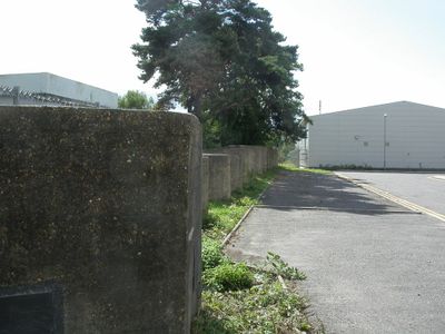
World War II pillbox and tank traps in former railway yard N of town
World War II pillbox and tank traps in former railway yard N of town, pillbox in Christchurch, Bournemouth, Christchurch and Poole, England, UK
Posizione: Christchurch
Coordinate GPS: 50.73990,-1.78182
Ultimo aggiornamento: 8 marzo 2025 alle 19:06
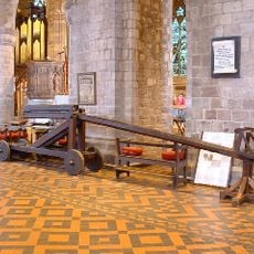
Cucking stool
767 m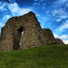
Christchurch Castle
855 m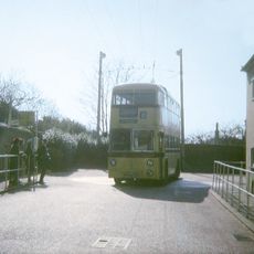
Christchurch trolleybus turntable
875 m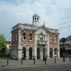
The Town Hall
628 m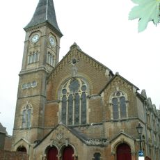
United Reform Church Including Attached Sunday Schools. Railings To West Wing Of Church Building
663 m
9, Church Lane
872 m
4, 6 ,7 and 8, Church Lane
874 m
1, Church Lane
883 m
Christchurch Library
669 m
Tyneham House
876 m
Splinters (Including Street Lamp Fixed To Wall)
891 m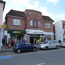
Regent Centre
653 m
14 And 16, Castle Street
816 m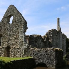
The Constable's House
877 m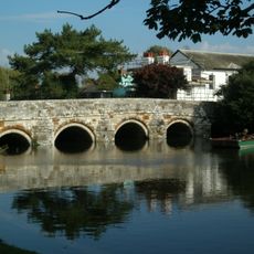
Redford Bridge
856 m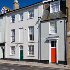
18, Castle Street
819 m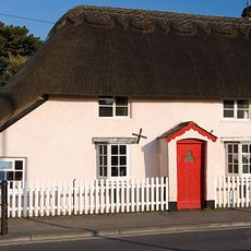
56, Sopers Lane
795 m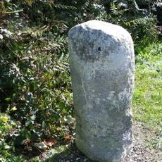
Milestone
661 m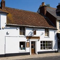
24, Bridge Street
895 m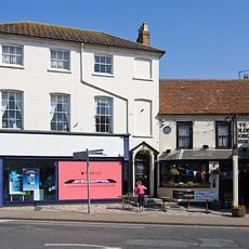
76, High Street
783 m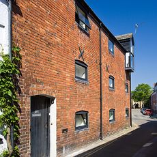
The Old Malt House
770 m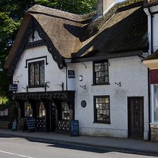
The Old Court House
835 m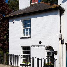
2, Bridge Street
854 m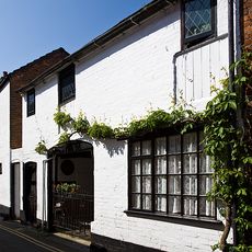
The Olde Barne
784 m
58 And 60, Sopers Lane
807 m
Quartleys Including Railings
846 m
6 And 6A, Castle Street
802 m
3, Bridge Street
882 mRecensioni
Ha visitato questo luogo? Tocchi le stelle per valutarlo e condividere la Sua esperienza o foto con la community! Provalo ora! Puoi annullarlo in qualsiasi momento.
Scopri tesori nascosti ad ogni viaggio!
Da piccoli caffè caratteristici a panorami nascosti, fuggi dalla folla e scova i posti che fanno davvero per te. La nostra app ti semplifica tutto: ricerca vocale, filtri furbi, percorsi ottimizzati e dritte autentiche da viaggiatori di tutto il mondo. Scaricala subito per vivere l'avventura sul tuo smartphone!

Un nuovo approccio alla scoperta turistica❞
— Le Figaro
Tutti i luoghi che meritano di essere esplorati❞
— France Info
Un’escursione su misura in pochi clic❞
— 20 Minutes