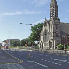
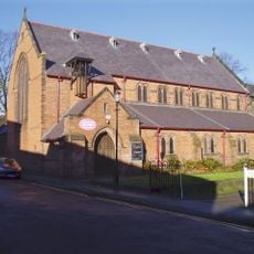
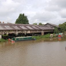
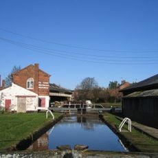
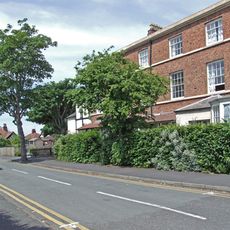
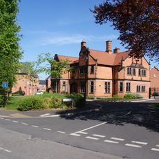
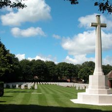
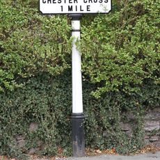
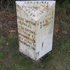
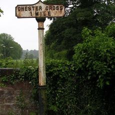
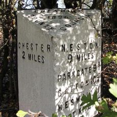
Bache, suburb and civil parish in Chester, Cheshire, UK
Posizione: Cheshire West and Chester
Coordinate GPS: 53.20700,-2.89600
Ultimo aggiornamento: 8 marzo 2025 alle 19:44
St Thomas of Canterbury Church, Chester
1 km
Bluecoat School, Chester
1.5 km
Bridge of Sighs
1.5 km
Holy Ascension Church, Upton by Chester
1.1 km
Northgate Church, Chester
1.3 km
Christ Church, Chester
1.2 km
Chester College Chapel
903 m
Bache Hall
43 m
Countess of Chester Country Park
384 m
George and Dragon Public House and signpost
1.1 km
Knolls Bridge (Canal Bridge Number 131)
1.4 km
Milepost 80 Metres North Of Junction With Abbots Park
485 m
Iron Roving Bridge
1.4 km
Northgate Bridge
1.5 km
Bull and Stirrup Hotel
1.4 km
Chester College Old Building and wall, north east and south east
897 m
Upton and District War Memorial Cross
1.1 km
Taylor's Boatyard
1.4 km
Graving Lock on canal link to River Dee
1.4 km
5, Sealand Road
1.5 km
Northgate Lock Keepers Cottage
1.5 km
4 and 6, Abbots Grange
816 m
Downswood
275 m
Blacon Cemetery Cross of Sacrifice
1.1 km
Milepost 30 Metres South Of Junction With Ormonde Road
295 m
Footpath Guidepost In North West Corner Of The Garden Of Longlands
1.9 km
Milepost, by car sales yard
1.6 km
Milepost, SE of Mollington Grange
1.5 kmRecensioni
Ha visitato questo luogo? Tocchi le stelle per valutarlo e condividere la Sua esperienza o foto con la community! Provalo ora! Puoi annullarlo in qualsiasi momento.
Scopri tesori nascosti ad ogni viaggio!
Da piccoli caffè caratteristici a panorami nascosti, fuggi dalla folla e scova i posti che fanno davvero per te. La nostra app ti semplifica tutto: ricerca vocale, filtri furbi, percorsi ottimizzati e dritte autentiche da viaggiatori di tutto il mondo. Scaricala subito per vivere l'avventura sul tuo smartphone!
Un nuovo approccio alla scoperta turistica❞
— Le Figaro
Tutti i luoghi che meritano di essere esplorati❞
— France Info
Un’escursione su misura in pochi clic❞
— 20 Minutes