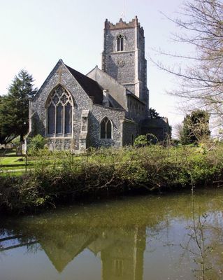
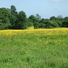
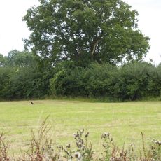
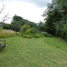
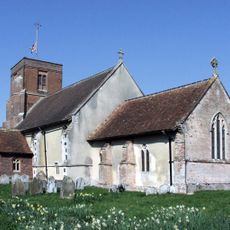
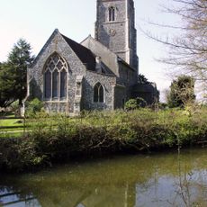
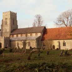
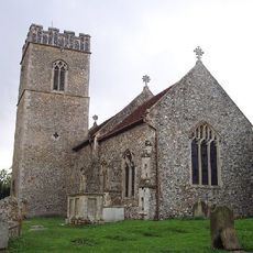
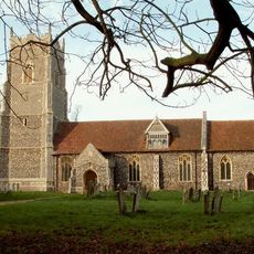
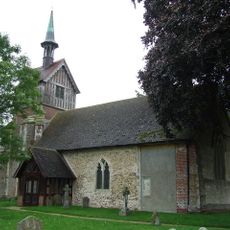
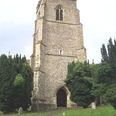
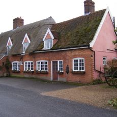
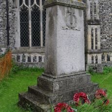
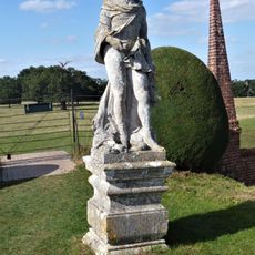
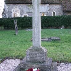
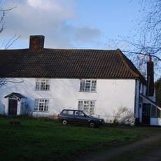
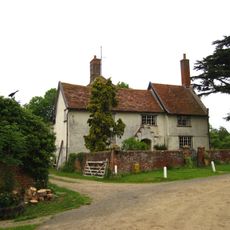
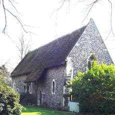
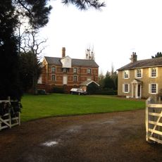
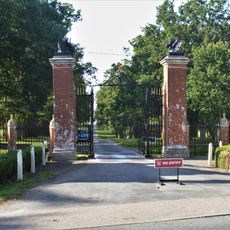
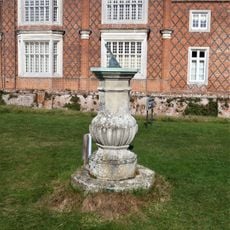
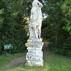
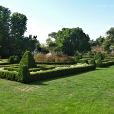
Otley, village in Suffolk, United Kingdom
Posizione: Suffolk Coastal
Posizione: East Suffolk
Coordinate GPS: 52.15210,1.22160
Ultimo aggiornamento: 8 marzo 2025 alle 07:10
Helmingham Hall
3 km
Martin's Meadows
2.9 km
Moat Farm Meadows
1.9 km
Brooke House Nature Reserve
2.5 km
High House Meadows, Monewden
3.7 km
Church of All Saints
3.6 km
Church of St Mary the Virgin
381 m
Church of St Mary
4.4 km
Church of St Botolph
3.6 km
Church of St Mary, Helmingham
2.7 km
Church of St Mary
2.9 km
Church of St Mary
3.2 km
Helmingham Hall Gardens
3.2 km
The Greyhound Inn, Framsden
4.4 km
Framsden War Memorial
4.4 km
Male Statue, 5 Metres South West Of The North West Corner Of Moat Surrounding Helmingham Hall
2.9 km
Debach War Memorial
3.9 km
Swilland Hall
2.9 km
Front Lodge And Screen Wall To Left
2.6 km
Newton Hall
3.7 km
All Saints House
3.9 km
The Mill House
2 km
The Old Rectory
2.7 km
Entrance Gateway And Piers To Helmingham Park, Between Front Lodges To Oak Walk
2.6 km
Obelisk, About 750 Metres West Of Helmingham Hall
3.5 km
Sundial, 30 Metres South West Of West Elevation Of Helmingham Hall
3 km
Female Statue, 5 Metres South West Of The South West Corner Of Moat Surrounding Helmingham Hall
3 km
Urn, 60 Metres South West Of Centre Of West Elevation Of Helmingham Hall
3 kmHa visitato questo luogo? Tocchi le stelle per valutarlo e condividere la Sua esperienza o foto con la community! Provalo ora! Puoi annullarlo in qualsiasi momento.
Scopri tesori nascosti ad ogni viaggio!
Da piccoli caffè caratteristici a panorami nascosti, fuggi dalla folla e scova i posti che fanno davvero per te. La nostra app ti semplifica tutto: ricerca vocale, filtri furbi, percorsi ottimizzati e dritte autentiche da viaggiatori di tutto il mondo. Scaricala subito per vivere l'avventura sul tuo smartphone!
Un nuovo approccio alla scoperta turistica❞
— Le Figaro
Tutti i luoghi che meritano di essere esplorati❞
— France Info
Un’escursione su misura in pochi clic❞
— 20 Minutes