
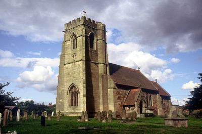
Church of St Lucia, church in Shropshire, UK
Posizione: Upton Magna
Coordinate GPS: 52.70810,-2.66246
Ultimo aggiornamento: 4 marzo 2025 alle 03:33
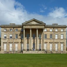
Attingham Park
2.6 km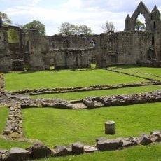
Haughmond Abbey
3 km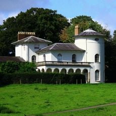
Cronkhill
4.5 km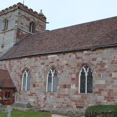
St Andrew's Church, Wroxeter
4.4 km
Longner Hall
2.8 km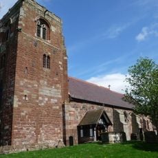
St Eata's Church, Atcham
3.5 km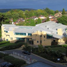
Shrewsbury Justice Centre
4.5 km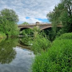
Belvidere Bridge
3.4 km
The Mytton and Mermaid Hotel
3.4 km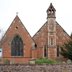
Church of St Giles
4.6 km
Church of St George
4.1 km
Church of St John the Baptist
2.4 km
The Old Post Office
4.3 km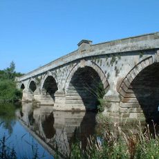
Atcham Bridge
3.4 km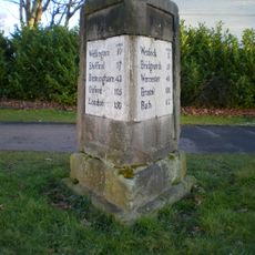
Milepost On Roundabout At Sj 5066 1206
4.7 km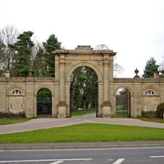
Entrance Screen And East And West Front Lodges To Attingham Park
3.3 km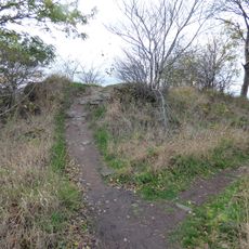
Haughmond Hill Camp
2.1 km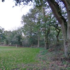
Ebury Hill
4 km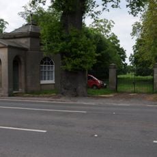
Tern Lodge And Adjoining Wall
3.1 km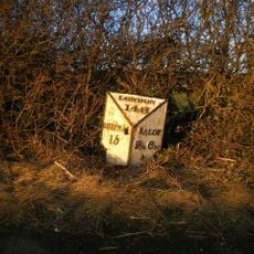
Milestone Approximately 10 Metres To North-West Of Emstrey Cottages
3.4 km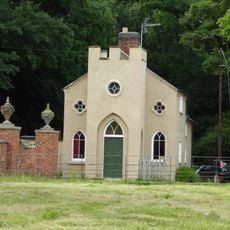
Back Lodge
2.7 km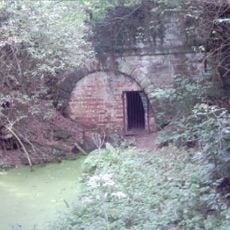
Shropshire Union Canal North West Entrance To Berwick Tunnel
2.2 km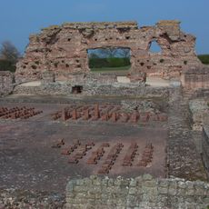
Site of Roman town of Wroxeter (Viroconium)
3.9 km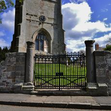
Churchyard gates, gate piers and approximately 3 metres of flanking walls approximately 10 metres to west of west tower of Church of St Andrew
4.3 km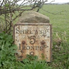
Milestone, 260m NW Wroxeter crossroads
3.6 km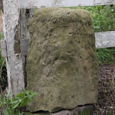
Milestone, Ercall Magna; opp. Poynton turn
4.6 km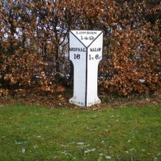
Milepost, London Road; by Emstrey Cemetery
4.2 km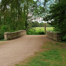
Estate Bridge Approximately 120 Metres To South East Of Attingham Park
2.6 kmRecensioni
Ha visitato questo luogo? Tocchi le stelle per valutarlo e condividere la Sua esperienza o foto con la community! Provalo ora! Puoi annullarlo in qualsiasi momento.
Scopri tesori nascosti ad ogni viaggio!
Da piccoli caffè caratteristici a panorami nascosti, fuggi dalla folla e scova i posti che fanno davvero per te. La nostra app ti semplifica tutto: ricerca vocale, filtri furbi, percorsi ottimizzati e dritte autentiche da viaggiatori di tutto il mondo. Scaricala subito per vivere l'avventura sul tuo smartphone!

Un nuovo approccio alla scoperta turistica❞
— Le Figaro
Tutti i luoghi che meritano di essere esplorati❞
— France Info
Un’escursione su misura in pochi clic❞
— 20 Minutes