
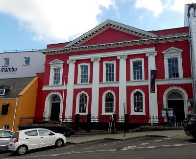
Shire Hall, Haverfordwest, municipal building in Haverfordwest
Posizione: Haverfordwest
Altezza sopra il mare: 10,8 m
Coordinate GPS: 51.80160,-4.96864
Ultimo aggiornamento: 14 marzo 2025 alle 10:38
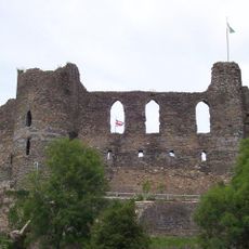
Castello di Haverfordwest
145 m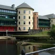
County Hall, Haverfordwest
164 m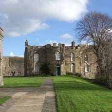
Haverfordwest Town Museum
144 m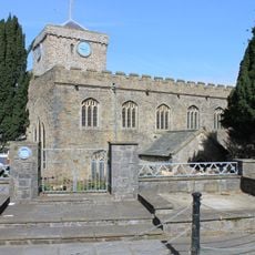
St Mary's Church, Haverfordwest
225 m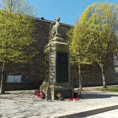
County of Pembroke War Memorial
209 m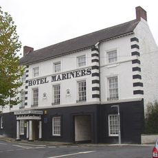
Hotel Mariners
282 m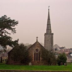
Church of Saint Martin of Tours, Haverfordwest
273 m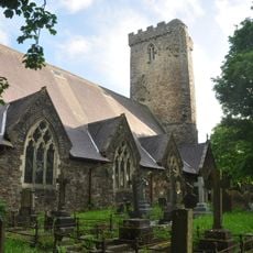
Church of Saint Thomas a Becket
216 m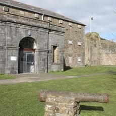
Former County Gaol
174 m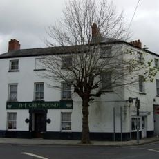
The Greyhound
267 m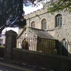
Churchyard walls and gates to Saint Martin's Church
287 m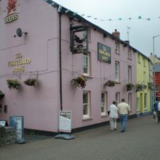
The Fishguard Arms Inn
252 m
10 Bridge Street (The Commercial Hotel), Haverfordwest
304 m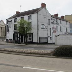
The County Hotel
225 m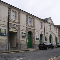
Palace Cinema
242 m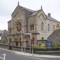
Bethesda English Baptist Church
303 m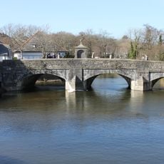
The Old Bridge
268 m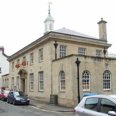
The Post Office
82 m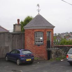
Gazebo to NE of No. 33 Hill Lane
32 m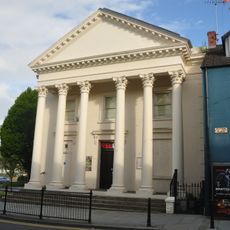
The Former Masonic Hall
195 m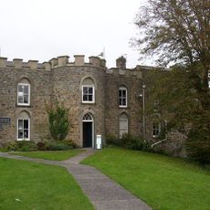
The Governor's House
142 m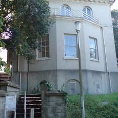
Foley House
135 m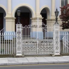
Forecourt Dwarf Wall And Railings To Tabernacle Church And To Tabernacle Church School
324 m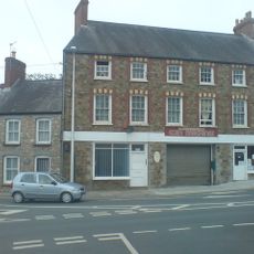
Cromwell House, Nos. 1 and 3 City Road
323 m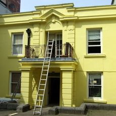
The Liberal Chambers
212 m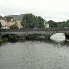
New Bridge and four lamp standards
135 m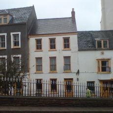
No. 6 High Street (Premises Occupied By S. D. Pugh And Son), Haverfordwest
177 m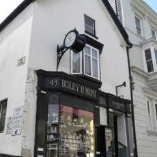
No. 43 High Street (premises occupied by Munts)
32 mHa visitato questo luogo? Tocchi le stelle per valutarlo e condividere la Sua esperienza o foto con la community! Provalo ora! Puoi annullarlo in qualsiasi momento.
Scopri tesori nascosti ad ogni viaggio!
Da piccoli caffè caratteristici a panorami nascosti, fuggi dalla folla e scova i posti che fanno davvero per te. La nostra app ti semplifica tutto: ricerca vocale, filtri furbi, percorsi ottimizzati e dritte autentiche da viaggiatori di tutto il mondo. Scaricala subito per vivere l'avventura sul tuo smartphone!

Un nuovo approccio alla scoperta turistica❞
— Le Figaro
Tutti i luoghi che meritano di essere esplorati❞
— France Info
Un’escursione su misura in pochi clic❞
— 20 Minutes