
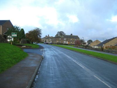
Darley and Menwith, civil parish in Harrogate, North Yorkshire, England
Posizione: Harrogate
Coordinate GPS: 54.01990,-1.70213
Ultimo aggiornamento: 22 aprile 2025 alle 15:42
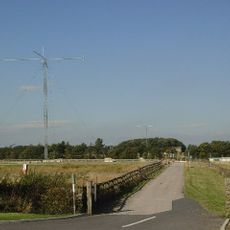
HMS Forest Moor
1.5 km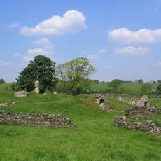
John O'Gaunt's Castle
4.4 km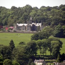
Swarcliffe Hall
4.1 km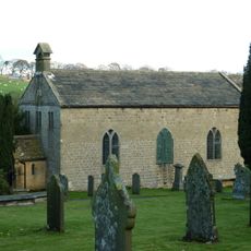
Church of St Saviour
2.5 km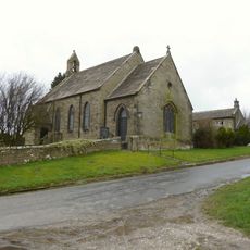
Church of St Jude
4 km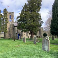
Church of the Holy Trinity
4.1 km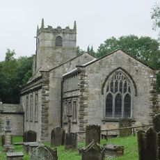
Church of St Lawrence
4.2 km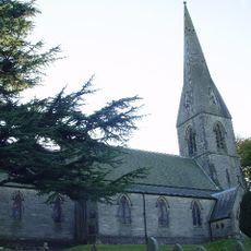
Church of St James the Apostle
4.4 km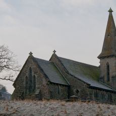
Church of St Andrew
4.1 km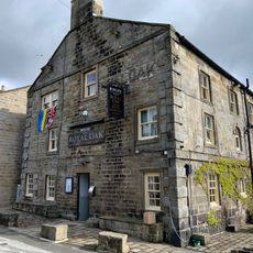
The Royal Oak Public House
3.7 km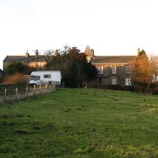
Dacre Hall
2.6 km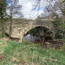
Summer Bridge Summer Bridge Over River Nidd
4.1 km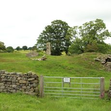
Medieval royal hunting lodge known as John of Gaunt's Castle, immediately north west of Haverah Park Top
4.4 km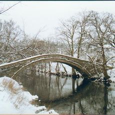
New Bridge, Birstwith
4.4 km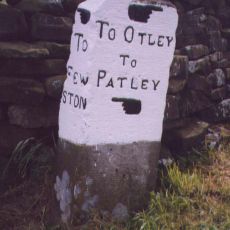
Mile-Post At Junction With Maegill Lane
3.1 km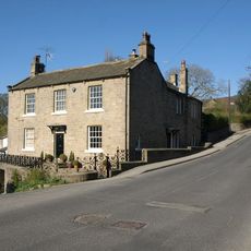
Summerbridge House And Attached Walls And Railings
4.1 km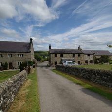
Southfield Farmhouse
2 km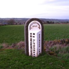
Milepost At Se 2242 5618
3.5 km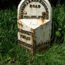
Milepost At Se 2096 5612
2.5 km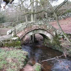
Thornthwaite packhorse bridge
2.5 km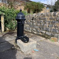
Pump
3.8 km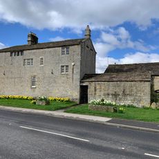
Gate Hill Farmhouse
3.9 km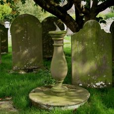
Sundial In Graveyard Approximately 15 Metres South Of Providence Chapel
2.7 km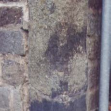
Milestone, Summerbridge, nr Flying Dutchman PH; at jct with Hartwith Bank
4.2 km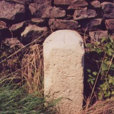
Milestone, W of Stripe Lane
3.6 km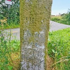
Guidestone, Back Road, High Birstwith
2.1 km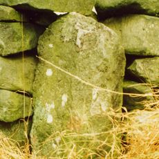
Guidestone, W of B6451, Menwith Hill Road
1.6 km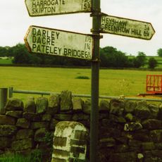
Guidestone, Thornthwaite Bridge
1.5 kmRecensioni
Ha visitato questo luogo? Tocchi le stelle per valutarlo e condividere la Sua esperienza o foto con la community! Provalo ora! Puoi annullarlo in qualsiasi momento.
Scopri tesori nascosti ad ogni viaggio!
Da piccoli caffè caratteristici a panorami nascosti, fuggi dalla folla e scova i posti che fanno davvero per te. La nostra app ti semplifica tutto: ricerca vocale, filtri furbi, percorsi ottimizzati e dritte autentiche da viaggiatori di tutto il mondo. Scaricala subito per vivere l'avventura sul tuo smartphone!

Un nuovo approccio alla scoperta turistica❞
— Le Figaro
Tutti i luoghi che meritano di essere esplorati❞
— France Info
Un’escursione su misura in pochi clic❞
— 20 Minutes