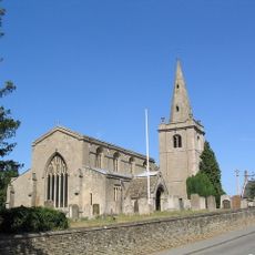
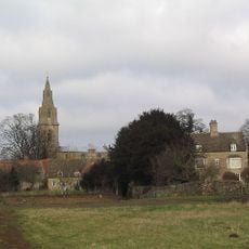
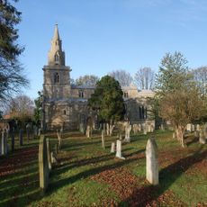
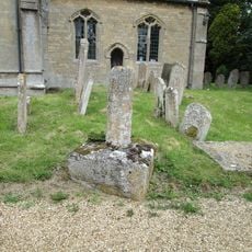
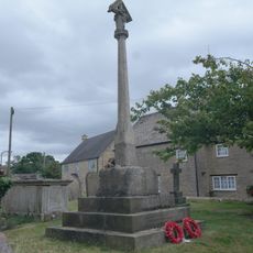
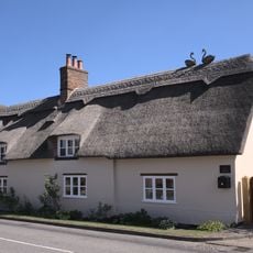
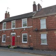
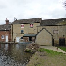
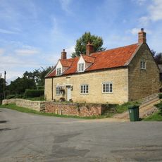
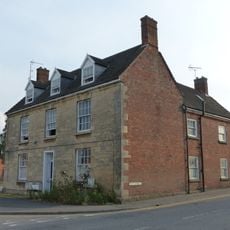
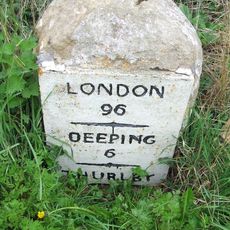
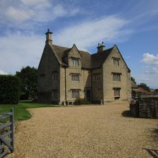
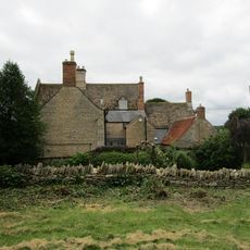
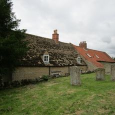
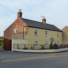
Toft with Lound and Manthorpe, civil parish in South Kesteven, Lincolnshire, England
La comunità dei viaggiatori curiosi
AroundUs riunisce migliaia di luoghi selezionati, consigli locali e gemme nascoste, arricchiti ogni giorno da oltre 60,000 contributori in tutto il mondo.
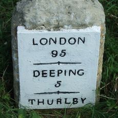
Posizione
Coordinate GPS
52.74036,-0.41996
Ultimo aggiornamento
11 marzo 2025 alle 17:20