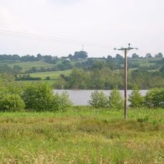
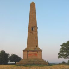
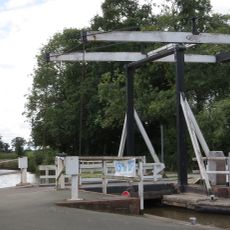
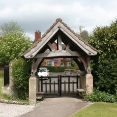
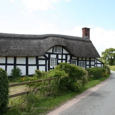
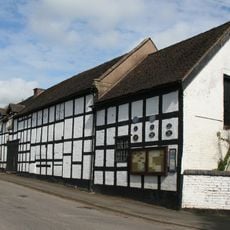
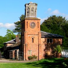
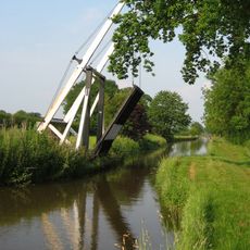
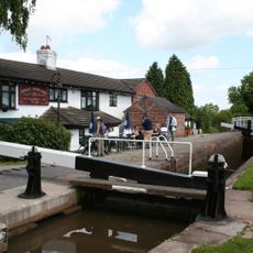
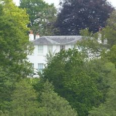
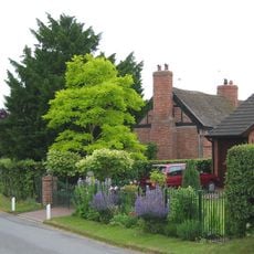
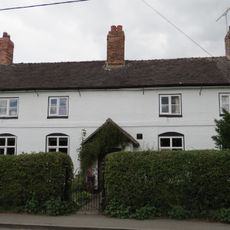
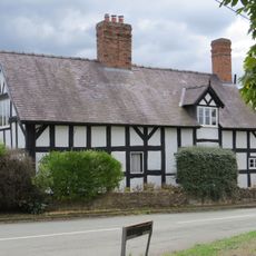
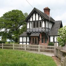
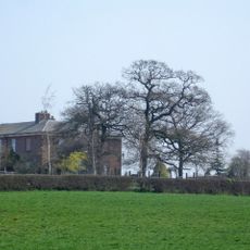
Marbury cum Quoisley, civil parish in Cheshire East, Cheshire, England
Posizione: Cheshire East
Confina con: Dodcott cum Wilkesley, Wrenbury-cum-Frith, Norbury, Bickley, Tushingham-cum-Grindley, Macefen and Bradley, Wirswall, Whitchurch Urban, No Man's Heath and District
Coordinate GPS: 53.00500,-2.65600
Ultimo aggiornamento: 26 marzo 2025 alle 05:19
Combermere Abbey
3.1 km
St Chad's Chapel, Tushingham
3.4 km
St Michael's Church
136 m
St Margaret's Church
4 km
St Chad's Church, Tushingham
3.9 km
Quoisley Meres
1.2 km
Monumental Obelisk at Combermere Abbey
1.7 km
Wrenbury wooden lifting bridge
3.9 km
Combermere Abbey (house)
3 km
Lychgate in Churchyard of St Michael
172 m
Stokes Cottage
2.7 km
Outhouse to Swan Inn
231 m
Southern range of service buildings
3 km
Wrenbury Church Bridge
4.2 km
Wrenbury Frith Bridge
3.2 km
Churchyard wall at Church of St Michael
120 m
Willeymoor Lock
2.6 km
Marbury Hall
414 m
Brook Farmhouse
2 km
Hawk House
4 km
Elm House
3.9 km
Gate Lodge To Marbury Hall
523 m
Pearl Farmhouse
3.2 km
Stable block
3.2 km
Lower Lodge
2.7 km
Northern range of service buildings
3 km
Game larder to the centre of the service court at Combermere Abbey
3 km
Milepost, Sandhole Farm; 100m S of power lines
3.8 kmHa visitato questo luogo? Tocchi le stelle per valutarlo e condividere la Sua esperienza o foto con la community! Provalo ora! Puoi annullarlo in qualsiasi momento.
Scopri tesori nascosti ad ogni viaggio!
Da piccoli caffè caratteristici a panorami nascosti, fuggi dalla folla e scova i posti che fanno davvero per te. La nostra app ti semplifica tutto: ricerca vocale, filtri furbi, percorsi ottimizzati e dritte autentiche da viaggiatori di tutto il mondo. Scaricala subito per vivere l'avventura sul tuo smartphone!
Un nuovo approccio alla scoperta turistica❞
— Le Figaro
Tutti i luoghi che meritano di essere esplorati❞
— France Info
Un’escursione su misura in pochi clic❞
— 20 Minutes