Downend and Bromley Heath, civil parish in South Gloucestershire, Gloucestershire, England
Posizione: South Gloucestershire
Coordinate GPS: 51.49300,-2.50700
Ultimo aggiornamento: 8 marzo 2025 alle 05:39
St Matthias
1.8 km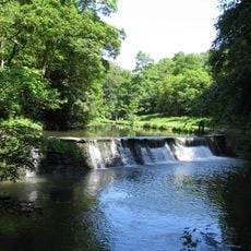
Oldbury Court Estate
1.5 km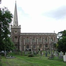
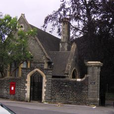
St John the Baptist, Frenchay
977 m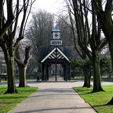
Page Park
1.4 km
White Horse Inn
1.8 km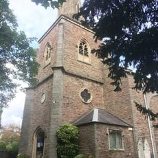
Church of St Mary
2 km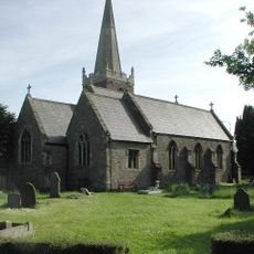
Church of St James
1.9 km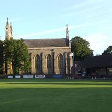
Christ Church
747 m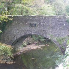
Frenchay Bridge
902 m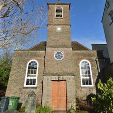
Unitarian Chapel
989 m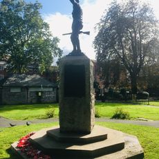
Fishponds War Memorial
2 km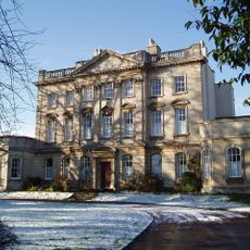
Frenchay Manor
1.2 km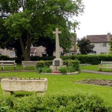
Mangotsfield War Memorial
1.9 km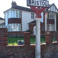
Boundary Marker Located At The Junction Of Thicket Road And High Street
1.4 km
Group Of Three Tombs Approximately 2 Metres North West Of Church Of St Mary
2 km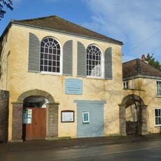
Friends' Meeting House
1 km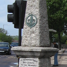
Downend Boy Scouts' War Memorial
564 m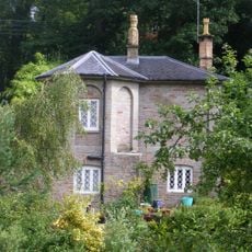
Cleeve Wood Lodge
618 m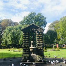
Drinking Fountain In Fishponds Park
2 km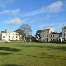
The Old House And Adjoining Coach House And Stables
974 m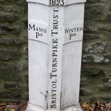
Turnpike Boundary Post On Cleeve Road Bridge
662 m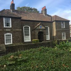
Numbers 11, 13 And 15 And Attached Garden Wall
2 km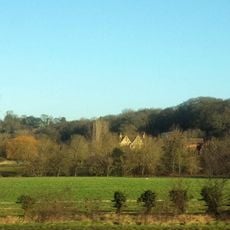
Moorend Farmhouse
1.8 km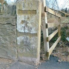
Milestone, Bristol Road, Hambrook
1.9 km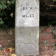
Milestone, Rodway Hill
2 km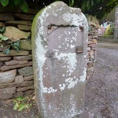
Milestone, Mapstone Close, Hambrook
2.1 km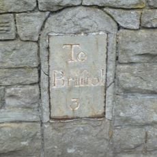
Milestone, Fishponds Road, N side of park wall
2 km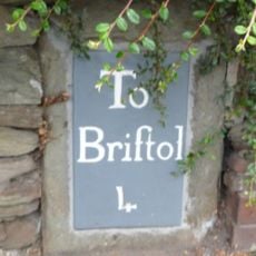
Milestone, Downend Road; opp. jcn Christchurch Lane by No. 72B
746 mHa visitato questo luogo? Tocchi le stelle per valutarlo e condividere la Sua esperienza o foto con la community! Provalo ora! Puoi annullarlo in qualsiasi momento.
Scopri tesori nascosti ad ogni viaggio!
Da piccoli caffè caratteristici a panorami nascosti, fuggi dalla folla e scova i posti che fanno davvero per te. La nostra app ti semplifica tutto: ricerca vocale, filtri furbi, percorsi ottimizzati e dritte autentiche da viaggiatori di tutto il mondo. Scaricala subito per vivere l'avventura sul tuo smartphone!

Un nuovo approccio alla scoperta turistica❞
— Le Figaro
Tutti i luoghi che meritano di essere esplorati❞
— France Info
Un’escursione su misura in pochi clic❞
— 20 Minutes