32-36, High Street, building in Newcastle upon Tyne, Tyne and Wear, UK
Posizione: Newcastle upon Tyne
Indirizzo: 32-36, High Street, Newcastle upon Tyne, Tyne and Wear, NE3
Coordinate GPS: 55.00248,-1.61925
Ultimo aggiornamento: 10 novembre 2025 alle 21:41
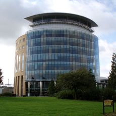
Partnership House
981 m
Jubilee Theatre
1 km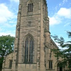
Church of All Saints
373 m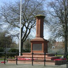
Gosforth Central Park
400 m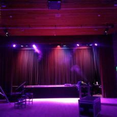
Gosforth Civic Theatre
888 m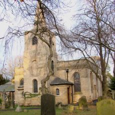
Church of St Nicholas
777 m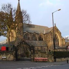
Roman Catholic Church of St Charles, Attached Presbytery and Boundary Wall to South and South West
569 m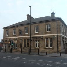
The County Hotel
137 m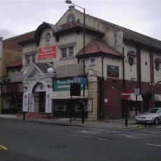
Globe Cinema
554 m
1-4 Castle Farm Cottages
1 km
Gosforth War Memorial Pillar
355 m
Town Moor Boundary Stone Opposite Number 73
741 m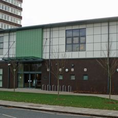
Gosforth Library
925 m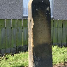
Main Dike Stone
881 m
Racquet Court
913 m
2, The Drive
230 m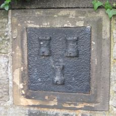
Boundary Mark In Wall At Junction With South Side Of Moorfield
744 m
Police Stables
1 km
23-33, The Grove
170 m
62-70, The Drive
443 m
38-52, High Street
59 m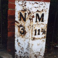
Milepost, Great North Road, by Gosforth Central Middle School field
936 m
Flats With Projecting Walls And Steps And Garages
171 m
7-21, The Grove
113 m
1 and 2, Roseworth Terrace
133 m
Castle Farm Cottages Number 5 And Farm Building Attached
1 km
Newcastle-upon-Tyne observatory
925 m
Opera d'arte
293 mRecensioni
Ha visitato questo luogo? Tocchi le stelle per valutarlo e condividere la Sua esperienza o foto con la community! Provalo ora! Puoi annullarlo in qualsiasi momento.
Scopri tesori nascosti ad ogni viaggio!
Da piccoli caffè caratteristici a panorami nascosti, fuggi dalla folla e scova i posti che fanno davvero per te. La nostra app ti semplifica tutto: ricerca vocale, filtri furbi, percorsi ottimizzati e dritte autentiche da viaggiatori di tutto il mondo. Scaricala subito per vivere l'avventura sul tuo smartphone!

Un nuovo approccio alla scoperta turistica❞
— Le Figaro
Tutti i luoghi che meritano di essere esplorati❞
— France Info
Un’escursione su misura in pochi clic❞
— 20 Minutes