
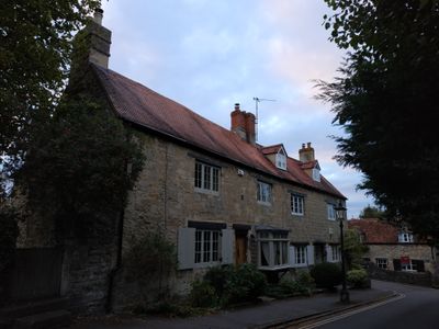
2 And 4, St Andrews Lane, building in Oxford, Oxfordshire, UK
Posizione: Oxford
Indirizzo: 2 And 4, St Andrews Lane, Oxford, Oxfordshire, OX3
Coordinate GPS: 51.76495,-1.21177
Ultimo aggiornamento: 3 marzo 2025 alle 00:29
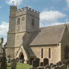
St Andrew's Church
33 m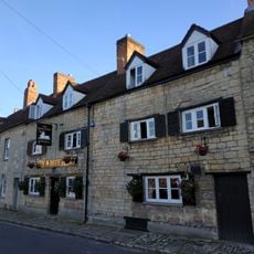
White Hart Inn
60 m
Bury Knowle
287 m
6, St Andrews Lane
32 m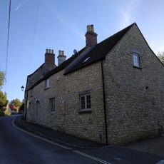
3, Larkins Lane
96 m
Pavement Fronting Numbers 10 To 14
57 m
9, The Croft
104 m
Wall of Mathers Farm Fronting Larkins Lane
90 m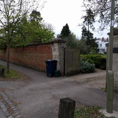
White Lodge And Sunny Lodge Wall Fronting Osler Road
331 m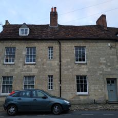
10, St Andrews Road
66 m
Boundary Wall Of The Court
218 m
Boundary Wall Of Manor House
285 m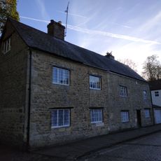
1 and 2, North Place
294 m
14, St Andrews Road
66 m
Barn Of Mathers Farm
122 m
1 and 3, St Andrews Road
69 m
11, The Croft
105 m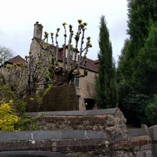
The Court
223 m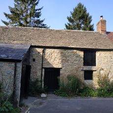
Building At Rear Of Number 12 (Fronting The Croft)
106 m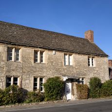
Mathers Farmhouse
95 m
Churchyard Wall Of The Church Of St Andrew
30 m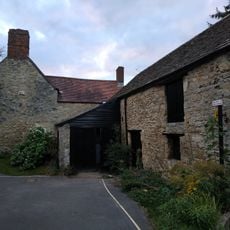
8, The Croft
117 m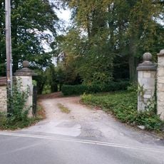
Wall And Gatepiers Of The Grange
119 m
Boundary Wall Of Bury Knowle
295 m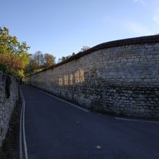
Wall of Headington House
210 m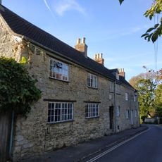
1 and 2, Larkins Lane
87 m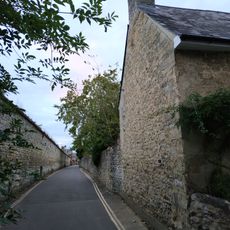
Boundary Wall Of Number 56 Fronting The Croft
249 m
16, St Andrews Road
73 mRecensioni
Ha visitato questo luogo? Tocchi le stelle per valutarlo e condividere la Sua esperienza o foto con la community! Provalo ora! Puoi annullarlo in qualsiasi momento.
Scopri tesori nascosti ad ogni viaggio!
Da piccoli caffè caratteristici a panorami nascosti, fuggi dalla folla e scova i posti che fanno davvero per te. La nostra app ti semplifica tutto: ricerca vocale, filtri furbi, percorsi ottimizzati e dritte autentiche da viaggiatori di tutto il mondo. Scaricala subito per vivere l'avventura sul tuo smartphone!

Un nuovo approccio alla scoperta turistica❞
— Le Figaro
Tutti i luoghi che meritano di essere esplorati❞
— France Info
Un’escursione su misura in pochi clic❞
— 20 Minutes