
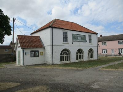
Village Hall, building in Carrington, East Lindsey, Lincolnshire, UK
Posizione: Carrington
Coordinate GPS: 53.10335,-0.04778
Ultimo aggiornamento: 7 marzo 2025 alle 16:34
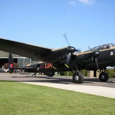
Lincolnshire Aviation Heritage Centre
5.1 km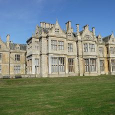
Revesby Abbey
2.9 km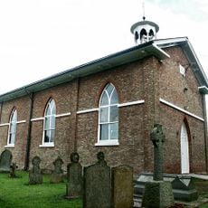
Church of St Paul
2.8 km
Church of St Helen
4.4 km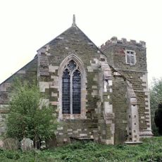
Church of St Nicholas
5.6 km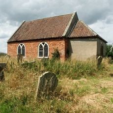
Church of All Saints
6 km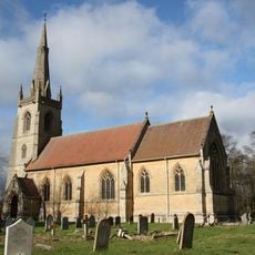
Church of St Lawrence
3.5 km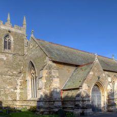
Church of St Peter
125 m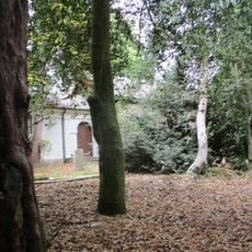
Church of St Andrew
5.9 km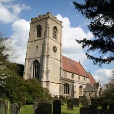
Church of St Luke
3.7 km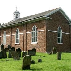
Church of St Peter
7.3 km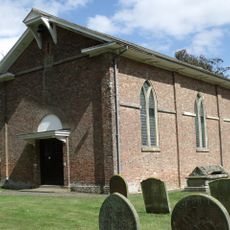
Church of St Peter
7.5 km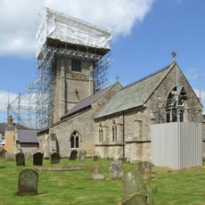
Church of St Helen
4.8 km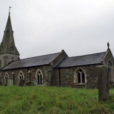
Church of St Benedict
7 km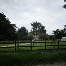
East Kirkby House
5.5 km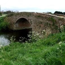
Musgrave's Bridge
2.8 km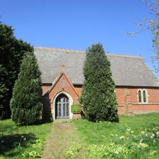
St Lawrence
2.5 km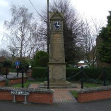
Stickford Memorial Clock Tower
5.4 km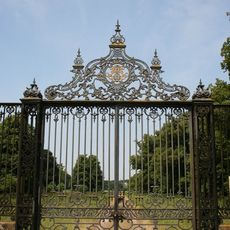
South Entrance Gates, Screens and Piers to Revesby Abbey
3.7 km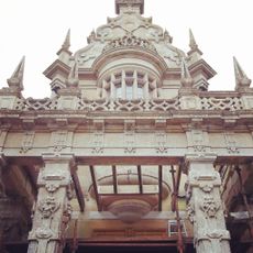
Revesby Abbey
4.4 km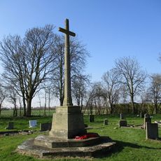
Wildmore and Thornton Le Fen War Memorial
7.5 km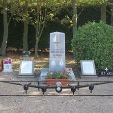
RAF East Kirkby WWII Memorial
5.3 km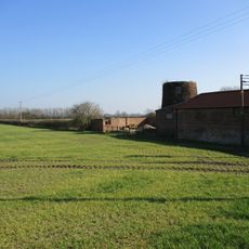
Windmill Next Watkinson's Bridge
1.6 km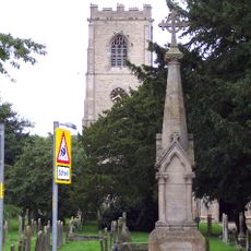
Stickney War Memorial
3.7 km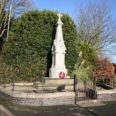
East Kirkby War Memorial
5 km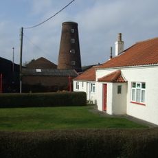
Old Windmill
497 m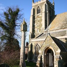
Churchyard cross, St Helen's churchyard
4.4 km
Joseph Banks' Almshouses
3.4 kmHa visitato questo luogo? Tocchi le stelle per valutarlo e condividere la Sua esperienza o foto con la community! Provalo ora! Puoi annullarlo in qualsiasi momento.
Scopri tesori nascosti ad ogni viaggio!
Da piccoli caffè caratteristici a panorami nascosti, fuggi dalla folla e scova i posti che fanno davvero per te. La nostra app ti semplifica tutto: ricerca vocale, filtri furbi, percorsi ottimizzati e dritte autentiche da viaggiatori di tutto il mondo. Scaricala subito per vivere l'avventura sul tuo smartphone!

Un nuovo approccio alla scoperta turistica❞
— Le Figaro
Tutti i luoghi che meritano di essere esplorati❞
— France Info
Un’escursione su misura in pochi clic❞
— 20 Minutes