
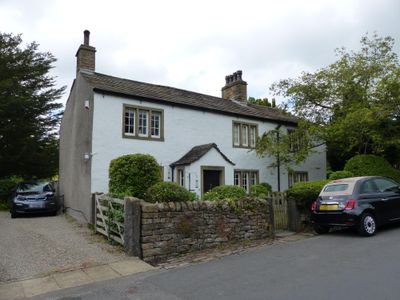
The White House, house in Downham, Ribble Valley, Lancashire, UK
Posizione: Downham
Inizio: 18 secolo
Realizzato in: rubble, stone slate
Coordinate GPS: 53.89351,-2.32847
Ultimo aggiornamento: 9 marzo 2025 alle 01:00
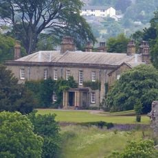
Downham Hall
233 m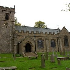
St Leonard's Church, Downham
135 m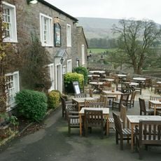
Assheton Arms
129 m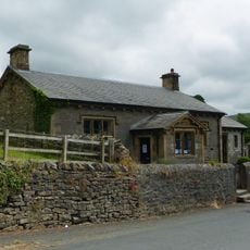
Downham Church of England School
26 m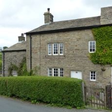
35 Chapel Brow
200 m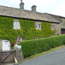
36 and 37 Chapel Brow
209 m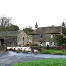
Fir Tree House
111 m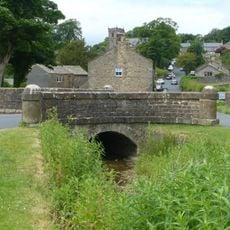
Bridge approximately 15 metres south west of Fir Tree House
106 m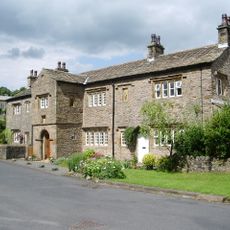
Old Well Hall
72 m
7 Top Row
163 m
Building on east side of yard at Home Farm, north west of Downham Hall
279 m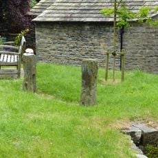
Stocks
105 m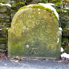
Milestone at west side of road, near junction with Chatburn Road
359 m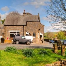
Post Office and house adjoining to east
101 m
Greengates
203 m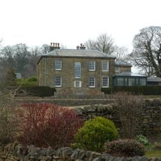
The Lidgett House
75 m
45
36 m
Door and surround in garden wall, Downham Hall, approximately 10 metres south west of church tower
137 m
2, 3 and 4 Top Row
154 m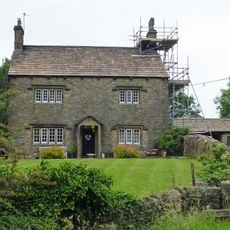
Clay House Farmhouse
1.1 km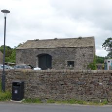
Barn approximately 15 metres north of Fir Tree House
87 m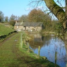
Downham Mill
1 km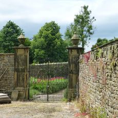
Pair of gatepiers in Downham Hall garden, approximately 60 metres north west of school
79 m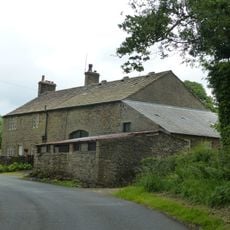
Laneside Farmhouse and barn adjoining to west
476 m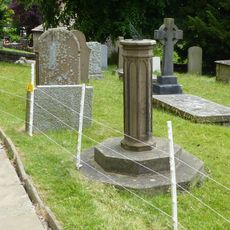
Sundial In Churchyard Approximately 8 Metres South Of Chancel, Church Of St Leonard
118 m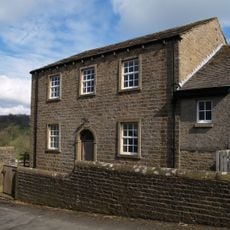
Village Hall
261 m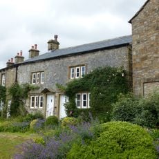
5 and 6 Top Row
154 m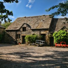
Barn to Home Farm, north west of Downham Hall, and stable in same range to east
304 mRecensioni
Ha visitato questo luogo? Tocchi le stelle per valutarlo e condividere la Sua esperienza o foto con la community! Provalo ora! Puoi annullarlo in qualsiasi momento.
Scopri tesori nascosti ad ogni viaggio!
Da piccoli caffè caratteristici a panorami nascosti, fuggi dalla folla e scova i posti che fanno davvero per te. La nostra app ti semplifica tutto: ricerca vocale, filtri furbi, percorsi ottimizzati e dritte autentiche da viaggiatori di tutto il mondo. Scaricala subito per vivere l'avventura sul tuo smartphone!

Un nuovo approccio alla scoperta turistica❞
— Le Figaro
Tutti i luoghi che meritano di essere esplorati❞
— France Info
Un’escursione su misura in pochi clic❞
— 20 Minutes