
Lower Burton Farmhouse
Lower Burton Farmhouse, farmhouse in Eardisland, County of Herefordshire, UK
Posizione: Eardisland
Coordinate GPS: 52.20642,-2.84282
Ultimo aggiornamento: 3 marzo 2025 alle 20:11

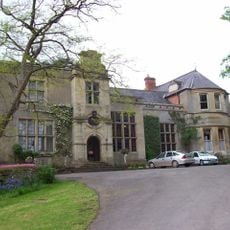
Burton Court
449 m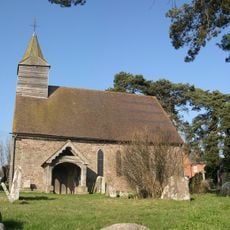
St Cosmas and St Damian's Church, Stretford
2.1 km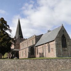
Church of St Mary
2.3 km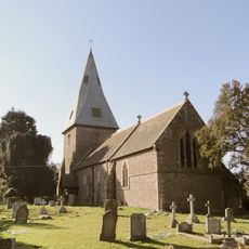
Church of All Saints
3.6 km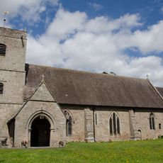
Church of St Mary
1.8 km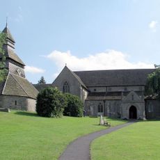
Church of St Mary
3.6 km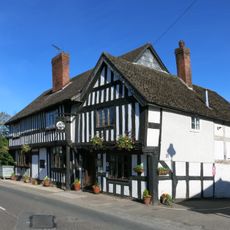
The Greyhound Inn
3.6 km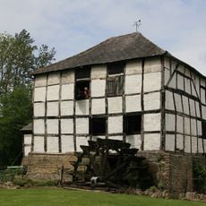
Arrow Mill
2.2 km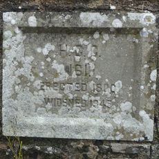
Arrow Bridge (Number 181)
2 km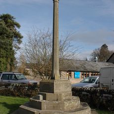
Eardisland War Memorial
1.9 km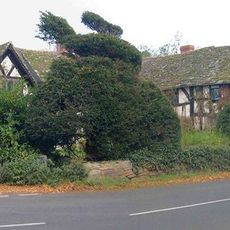
Staick House
2 km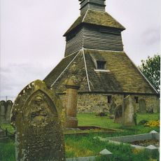
Belfry Approximately 5 Metres North-east Of The Church Of St Mary
3.6 km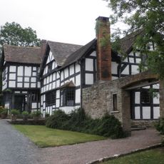
Luntley Court
3.4 km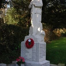
Dilwyn War Memorial
2.4 km
The Old Forge
3.6 km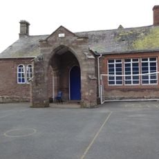
Dilwyn Voluntary Contribution School
2.3 km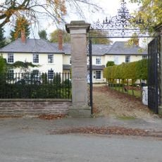
The Great House
2.5 km
13, 14 And 15, Karen Court
2.5 km
Pilgrims
3.6 km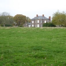
Henwood With Attached Hop Kilns And Stables
2.1 km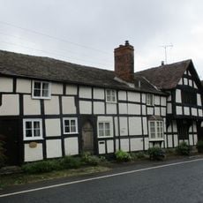
Spire View And Victoria Place
3.6 km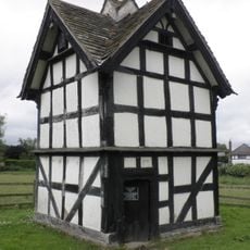
Luntley Court Dovecote
3.4 km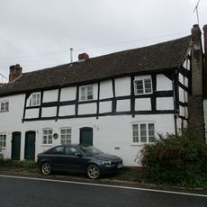
Range Of Three Tenements To West Of The Old Forge
3.6 km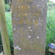
Milestone, Lawton Cross, nr Manor Farm
3.5 km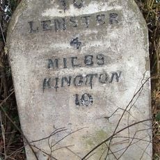
Milestone, W end of Lawton, by the village sign
2.7 km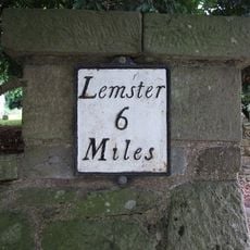
Milestone, by N entrance to churchyard
2.3 km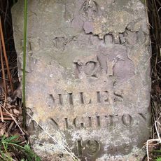
Milestone, 200m S of Bainstree Cross
1.6 km
Milestone, Bainstree
1.6 kmHa visitato questo luogo? Tocchi le stelle per valutarlo e condividere la Sua esperienza o foto con la community! Provalo ora! Puoi annullarlo in qualsiasi momento.
Scopri tesori nascosti ad ogni viaggio!
Da piccoli caffè caratteristici a panorami nascosti, fuggi dalla folla e scova i posti che fanno davvero per te. La nostra app ti semplifica tutto: ricerca vocale, filtri furbi, percorsi ottimizzati e dritte autentiche da viaggiatori di tutto il mondo. Scaricala subito per vivere l'avventura sul tuo smartphone!

Un nuovo approccio alla scoperta turistica❞
— Le Figaro
Tutti i luoghi che meritano di essere esplorati❞
— France Info
Un’escursione su misura in pochi clic❞
— 20 Minutes