
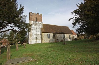
Church of All Saints, church in Petham, Kent, UK
Posizione: Petham
Inizio: 13 secolo
Coordinate GPS: 51.22060,1.04969
Ultimo aggiornamento: 2 marzo 2025 alle 21:15
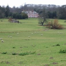
Bourne Park House
5.4 km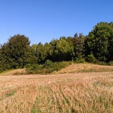
Julliberrie's Grave
5.7 km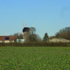
Reed Mill
4.5 km
Davison's Mill, Stelling Minnis
5 km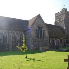
Church of St Mary, Chartham
4.5 km
Larkey Valley Wood
4.1 km
Yockletts Bank
3.6 km
Down Bank
4.8 km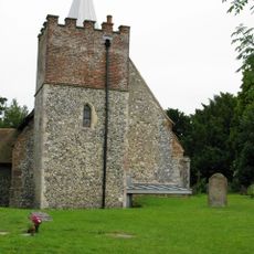
Church of St Mary
4.3 km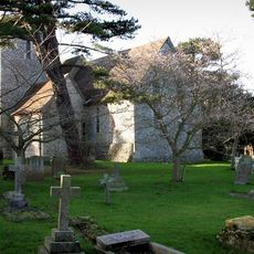
Church of St Peter and St Paul
2.3 km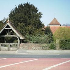
Church of St Nicholas
5.5 km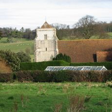
Church of St Mary
5.9 km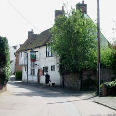
The Artichoke Inn
4.2 km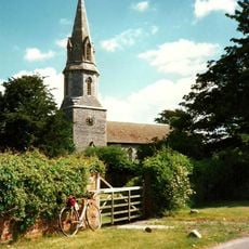
Church of St Mary
2.9 km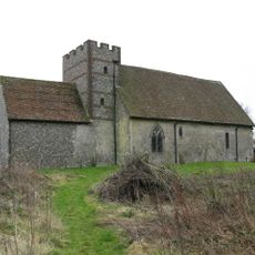
Church of St Bartholomew
3.3 km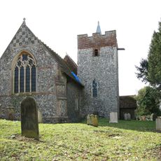
Church of St Mary
5.2 km
Church of St Mary
2.9 km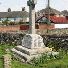
Chartham War Memorial
4.5 km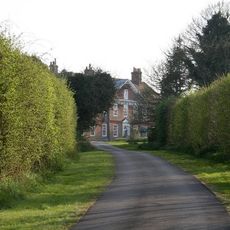
Mystole House South Mystole West Wing
4.3 km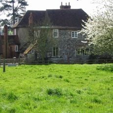
Tonford Manor
5.8 km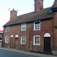
160-164, Wincheap
5.9 km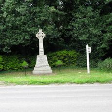
Nackington War Memorial
4.1 km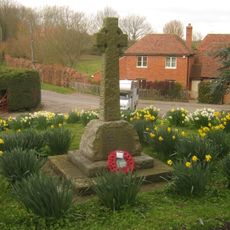
Lower Hardres War Memorial
2.7 km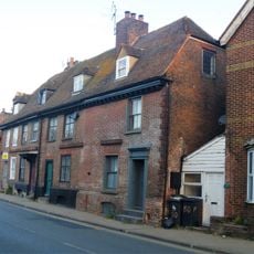
152-158, Wincheap
5.9 km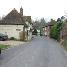
Old Hall
348 m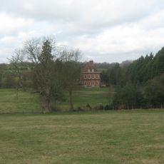
Bridge Place
5.7 km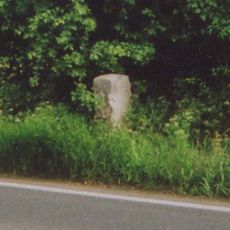
Milestone, Ashford Road, 250m E of jct with Station Road
4.6 km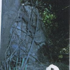
Milestone, Canterbury Road, N of Bowland Lane, opp. house entrance
5.5 kmRecensioni
Ha visitato questo luogo? Tocchi le stelle per valutarlo e condividere la Sua esperienza o foto con la community! Provalo ora! Puoi annullarlo in qualsiasi momento.
Scopri tesori nascosti ad ogni viaggio!
Da piccoli caffè caratteristici a panorami nascosti, fuggi dalla folla e scova i posti che fanno davvero per te. La nostra app ti semplifica tutto: ricerca vocale, filtri furbi, percorsi ottimizzati e dritte autentiche da viaggiatori di tutto il mondo. Scaricala subito per vivere l'avventura sul tuo smartphone!

Un nuovo approccio alla scoperta turistica❞
— Le Figaro
Tutti i luoghi che meritano di essere esplorati❞
— France Info
Un’escursione su misura in pochi clic❞
— 20 Minutes