
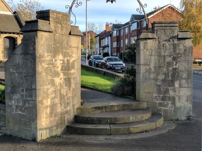
Churchyard Gateway 30 Metres West Of Church Of St Lawrence The Martyr
Churchyard Gateway 30 Metres West Of Church Of St Lawrence The Martyr, church gate in Mansfield, Nottinghamshire, UK
Posizione: Mansfield
Coordinate GPS: 53.14394,-1.17986
Ultimo aggiornamento: 17 aprile 2025 alle 01:24
St. Peter and St. Paul's Church, Mansfield
882 m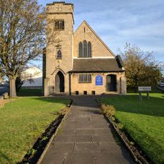
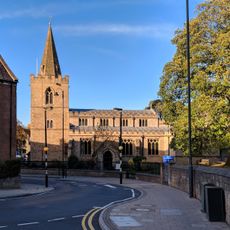
Church of St Lawrence the Martyr
41 m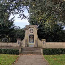
War Memorial on North West Side of Carr Bank Memorial Park
922 m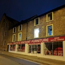
10-16, Church Side
912 m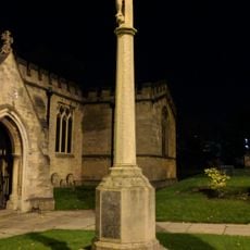
War Memorial 5 Metres South of Church of St Peter and St Paul
892 m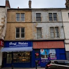
21, Church Street
977 m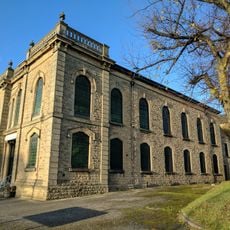
Bridge Street Methodist Church
796 m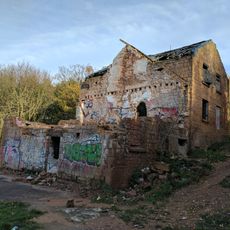
Bath Mill
666 m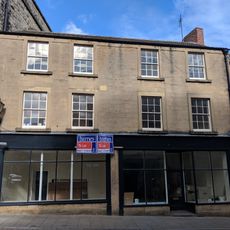
15, Church Street
990 m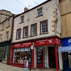
17 and 19, Church Street
986 m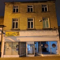
32 and 32B, Church Street
942 m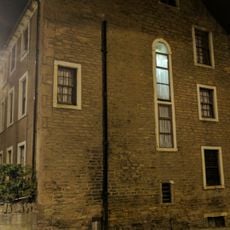
Church House
906 m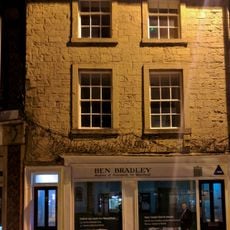
36, Church Street
931 m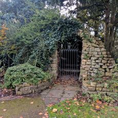
Grotto On North West Side Of Carr Bank Memorial Park
932 m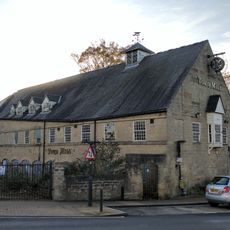
Town Mill Public House And Adjoining Boundary Wall
824 m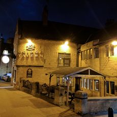
The Bridge Tavern Public House
843 m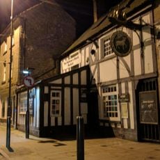
The Old Ram Public House
936 m
Rock Court
909 m
5, Bridge Street
865 m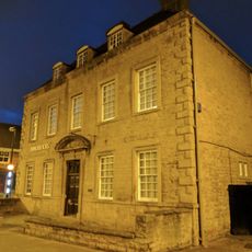
St Peter's House
885 m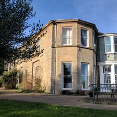
Carr Bank
926 m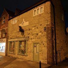
13, 15 And 17, Bridge Street
828 m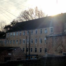
Stanton's Mill And Adjoining Outbuildings
652 m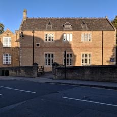
Boundary Wall And Gate Piers At Old Grammar School
889 m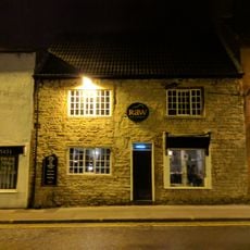
33, Ratcliffe Gate
655 m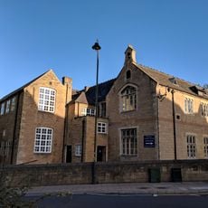
Old Grammar School
871 m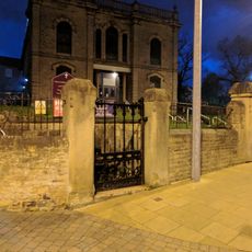
Boundary Wall And Gates At Bridge Street Methodist Church
801 m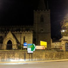
Boundary Wall And Gates To Churchyard Of St Peter And St Paul
910 mRecensioni
Ha visitato questo luogo? Tocchi le stelle per valutarlo e condividere la Sua esperienza o foto con la community! Provalo ora! Puoi annullarlo in qualsiasi momento.
Scopri tesori nascosti ad ogni viaggio!
Da piccoli caffè caratteristici a panorami nascosti, fuggi dalla folla e scova i posti che fanno davvero per te. La nostra app ti semplifica tutto: ricerca vocale, filtri furbi, percorsi ottimizzati e dritte autentiche da viaggiatori di tutto il mondo. Scaricala subito per vivere l'avventura sul tuo smartphone!

Un nuovo approccio alla scoperta turistica❞
— Le Figaro
Tutti i luoghi che meritano di essere esplorati❞
— France Info
Un’escursione su misura in pochi clic❞
— 20 Minutes