
Lloyd's Bank, County Durham, DH8
Posizione: County Durham
Coordinate GPS: 54.87076,-1.85817
Ultimo aggiornamento: 14 settembre 2025 alle 18:48
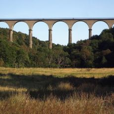
Hownsgill Viaduct
3.9 km
Vindomora
2.9 km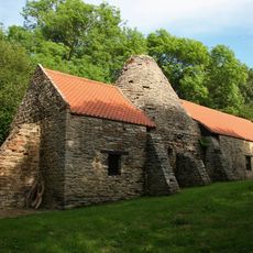
Derwentcote Steel Furnace
5.4 km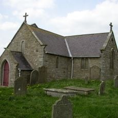
St Andrew's Church
5.2 km
Shotley Hall
437 m
Shotley Park
497 m
Church of St Mary Magdalene
3.1 km
Church of St Ebba
2.8 km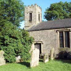
St Philip & St James
4.7 km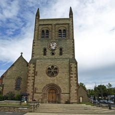
Christ Church, Consett
2.4 km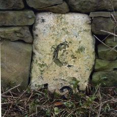
Milestone About 300 Metres South Of West Fines Wood
3.5 km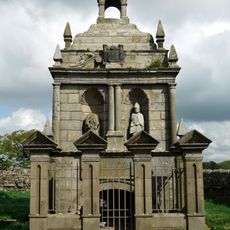
Hopper Mausoleum north-east of Church of St Andrew
5.2 km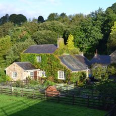
Allensford Mill Farmhouse And Adjacent Outbuildings
3 km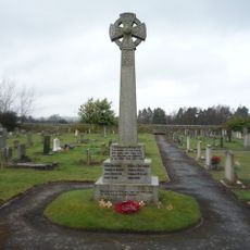
Shotley Low Quarter War Memorial
2.9 km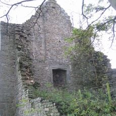
Remains Of Manor House At Priory Farm
5.6 km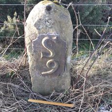
Milestone 110 Metres North Of Entrance To Eddisbridge Farm
5.4 km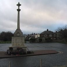
War Memorial at the Civic Centre
2.3 km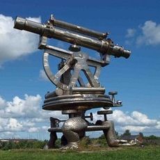
Terris Novalis
3.1 km
Milestone About 200 Metres East Of Rowley Cottage
4.6 km
Former Lead Mine Reservoir About 100 Metres East Of Dean Howl Farm
4.7 km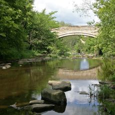
Shotley Bridge
195 m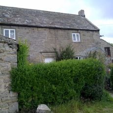
Crooked Oak Farmhouse
4.9 km
Grange Farmhouse And Gin Gang
5.4 km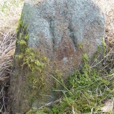
Boundary Stone About 500 Metres North East Of Shotley Spa
1.1 km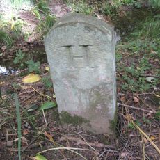
Boundary Stone At Ngr Nz 09705632, On West Side Of Mill Burn
3.5 km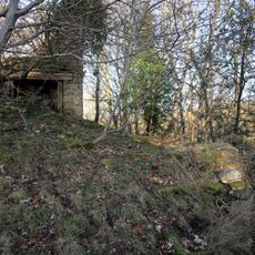
Former Lead Mine Circa 300 Metres North East Of Dene Howl Farm
4.5 km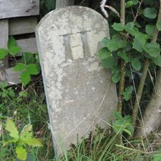
Boundary Stone On South Side Of Mill Barn
5 km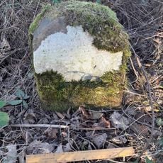
Milestone, Carterway Heads, Burnmill Bank, Fell Gate
3.7 kmRecensioni
Ha visitato questo luogo? Tocchi le stelle per valutarlo e condividere la Sua esperienza o foto con la community! Provalo ora! Puoi annullarlo in qualsiasi momento.
Scopri tesori nascosti ad ogni viaggio!
Da piccoli caffè caratteristici a panorami nascosti, fuggi dalla folla e scova i posti che fanno davvero per te. La nostra app ti semplifica tutto: ricerca vocale, filtri furbi, percorsi ottimizzati e dritte autentiche da viaggiatori di tutto il mondo. Scaricala subito per vivere l'avventura sul tuo smartphone!

Un nuovo approccio alla scoperta turistica❞
— Le Figaro
Tutti i luoghi che meritano di essere esplorati❞
— France Info
Un’escursione su misura in pochi clic❞
— 20 Minutes