
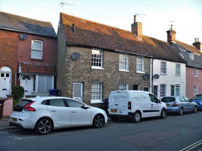
46 And 47, Cannon Street, building in Bury St. Edmunds, St. Edmundsbury, Suffolk, UK
Posizione: Bury St Edmunds
Coordinate GPS: 52.25027,0.71485
Ultimo aggiornamento: 3 marzo 2025 alle 14:16
St Edmunds Head Public House And Stable Block
73 m
Church of St John
194 m
The Bushel Public House
253 m
79, Northgate Street
162 m
The New Inn And Attached Wall
114 m
53, St Johns Street
167 m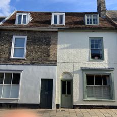
51 And 52, St Johns Street
155 m
Garden wall, 54 St John's Street
194 m
Friends Meeting House
297 m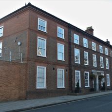
Manson House
269 m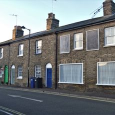
28-31, Cannon Street
90 m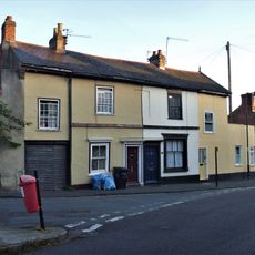
37, 38 And 39, Cannon Street
40 m
Dolphin House
17 m
Number 41 And Attached Wall
93 m
16, Long Brackland
96 m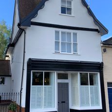
36, St Johns Street
211 m
54, St Johns Street
180 m
St John's Hall
227 m
63 And 65, St Johns Street
290 m
25, 26 And 27, Northgate Street
103 m
Durley House
259 m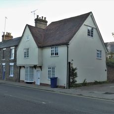
Goldsmiths House
119 m
96 And 96A, Northgate Street
90 m
Number 20 And Attached Railings And Gate
291 m
21 And 22, Well Street
296 m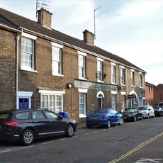
17, 17A, 18, 18A And 19, Long Brackland
107 m
33, St Johns Street
230 m
28, Northgate Street
72 mRecensioni
Ha visitato questo luogo? Tocchi le stelle per valutarlo e condividere la Sua esperienza o foto con la community! Provalo ora! Puoi annullarlo in qualsiasi momento.
Scopri tesori nascosti ad ogni viaggio!
Da piccoli caffè caratteristici a panorami nascosti, fuggi dalla folla e scova i posti che fanno davvero per te. La nostra app ti semplifica tutto: ricerca vocale, filtri furbi, percorsi ottimizzati e dritte autentiche da viaggiatori di tutto il mondo. Scaricala subito per vivere l'avventura sul tuo smartphone!

Un nuovo approccio alla scoperta turistica❞
— Le Figaro
Tutti i luoghi che meritano di essere esplorati❞
— France Info
Un’escursione su misura in pochi clic❞
— 20 Minutes