
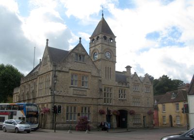
Town Hall, local government building in Calne, Wiltshire, UK
Posizione: Calne
Operatore: Wiltshire Council
Telefono: +441249814000
Sito web: https://calne.gov.uk/Town-Hall.aspx
Coordinate GPS: 51.43767,-2.00529
Ultimo aggiornamento: 3 marzo 2025 alle 03:47
Bowood House
2.5 km
Church of St Mary
181 m
The Green
292 m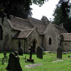
Church of St Peter
2.2 km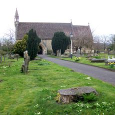
Church of the Holy Trinity
972 m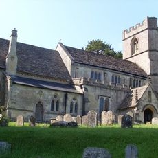
Church of St Swithin
3.4 km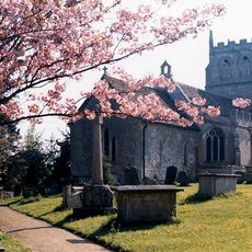
Church of St Martin
2.7 km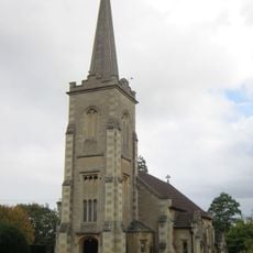
Christ Church
3.5 km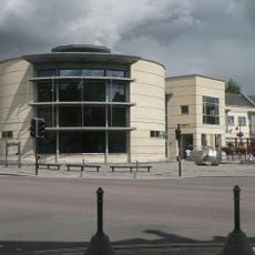
Calne Library
65 m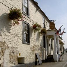
White Hart Hotel
335 m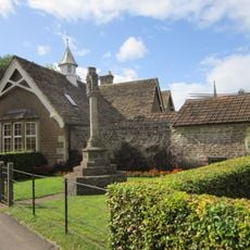
Derry Hill War Memorial
3.3 km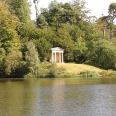
The Doric Temple
2 km
Greenstead
2.9 km
Blackland Park
2.2 km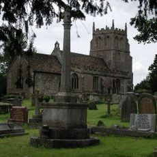
Bremhill War Memorial
2.7 km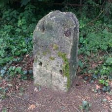
Milestone About 400 Metres West Of Junction With Studley Lane
3.7 km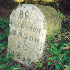
Milestone On South Side Opposite Number 327 Quemerford
2.2 km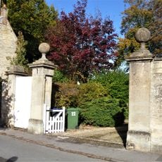
Gate Piers To Castlefield House
150 m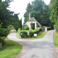
Pond Tail Lodge And Gates
3 km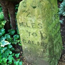
Milestone On West Side About 150 Metres North East Of Lane To Broads Lane
3.2 km
Hillview
3.6 km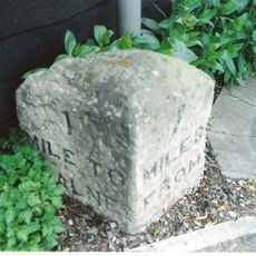
Milestone On West Side Outside Milestone Cottage
1.5 km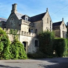
Castlefield House And Attached Front Walls
188 m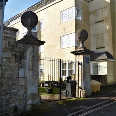
Castle House
72 m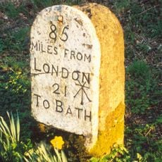
Milestone Opposite Nos 1 And 2
3.5 km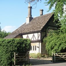
Tudor Lodge
2.7 km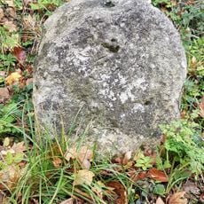
Milestone, Black Dog Hill
1.9 km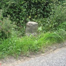
Milestone, Calne Road, S of new roundabout, between jct with Porte Marsh Industrial Estate and lane to High Penn Farm
1.9 kmRecensioni
Ha visitato questo luogo? Tocchi le stelle per valutarlo e condividere la Sua esperienza o foto con la community! Provalo ora! Puoi annullarlo in qualsiasi momento.
Scopri tesori nascosti ad ogni viaggio!
Da piccoli caffè caratteristici a panorami nascosti, fuggi dalla folla e scova i posti che fanno davvero per te. La nostra app ti semplifica tutto: ricerca vocale, filtri furbi, percorsi ottimizzati e dritte autentiche da viaggiatori di tutto il mondo. Scaricala subito per vivere l'avventura sul tuo smartphone!

Un nuovo approccio alla scoperta turistica❞
— Le Figaro
Tutti i luoghi che meritano di essere esplorati❞
— France Info
Un’escursione su misura in pochi clic❞
— 20 Minutes