
Aberfoyle, building in Wolsingham, County Durham, UK
Posizione: Wolsingham
Coordinate GPS: 54.72968,-1.88298
Ultimo aggiornamento: 25 novembre 2023 alle 01:30
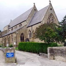
Church of St Thomas of Canterbury
243 m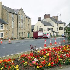
Former Primitive Methodist Chapel
11 m
School South East Of Church Of St Thomas
221 m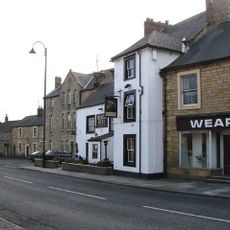
Black Bull Public House
27 m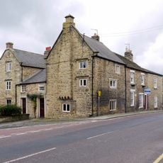
Old Bank House
282 m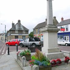
Wolsingham War Memorial
70 m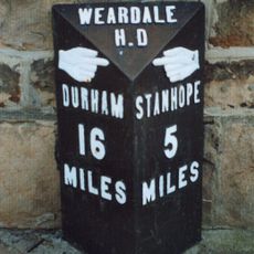
Milestone In Front Of Number 12
335 m
8, Meadhope Street
143 m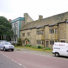
Whitfield House
186 m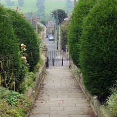
Gate Piers, Gates And Retaining Walls To Church Of St Mary And St Stephen
334 m
Outbuildings North Of Demesne Hall
288 m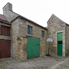
Former Chapel And Buildings Adjoining
173 m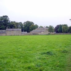
Demesne Hall
276 m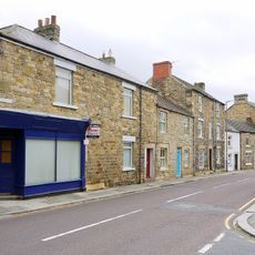
Rivendell
233 m
1, High Street
290 m
Cleadon House
236 m
Coach House To Demesne Hall
263 m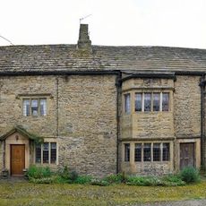
Whitfield Cottages
206 m
Former School Attached To Former Chapel
205 m
Former Wesleyan Methodist Chapel
198 m
Wall on West Side of Garden to Rear of Whitfield House
194 m
Wall Enclosing Yard Of Church Of St Mary And St Stephen
320 m
Mackintosh Tomb Circa 9 Metres East Of Church Of St Mary And St Stephen
330 m
Group Of 5 Graves Immediately South Of Church Of St Mary And St Stephen
332 m
Whitfield House Cottage
177 m
The Surgery And Mounting Block
53 m
10-14, High Street
336 m
Collins Tomb Circa 4 Metres South Of Church Of St Mary And St Stephen
337 mRecensioni
Ha visitato questo luogo? Tocchi le stelle per valutarlo e condividere la Sua esperienza o foto con la community! Provalo ora! Puoi annullarlo in qualsiasi momento.
Scopri tesori nascosti ad ogni viaggio!
Da piccoli caffè caratteristici a panorami nascosti, fuggi dalla folla e scova i posti che fanno davvero per te. La nostra app ti semplifica tutto: ricerca vocale, filtri furbi, percorsi ottimizzati e dritte autentiche da viaggiatori di tutto il mondo. Scaricala subito per vivere l'avventura sul tuo smartphone!

Un nuovo approccio alla scoperta turistica❞
— Le Figaro
Tutti i luoghi che meritano di essere esplorati❞
— France Info
Un’escursione su misura in pochi clic❞
— 20 Minutes