
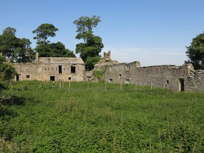
Shield Ash Farmhouse, farmhouse in Stanhope, County Durham, UK
Posizione: Stanhope
Coordinate GPS: 54.73261,-2.02449
Ultimo aggiornamento: 11 marzo 2025 alle 12:18
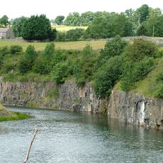
Greenfoot Quarry
1.8 km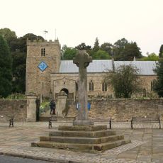
Church of St Thomas
2.1 km
Phoenix Inn
2 km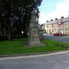
Memorial Fountain At Junction With Road To Ford
1.9 km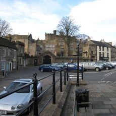
Stanhope Castle
2 km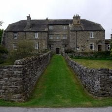
Stanhope Hall
1.9 km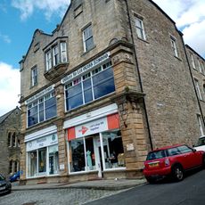
Co-Operative Stores
2 km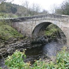
Stanhope Bridge
1.6 km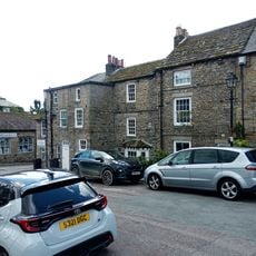
Number 1 And Houses Adjoining In Butts Head, The Butts
2 km
Numbers 1 - 4 Consecutive And Stables Attached
1.9 km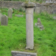
Old Stanhope Market Cross
2 km
The Rectory
2 km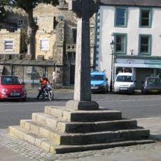
Stanhope Market Cross
2 km
Coach House North Of The Rectory
2 km
Footbridge Over Railway Line
1.8 km
Castle Wall Including Market Lodge, Gateway And Bus Shelter
2 km
Trustees Savings Bank
2 km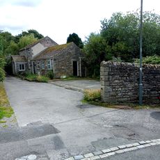
Outbuildings To North Of Phoenix Inn
2 km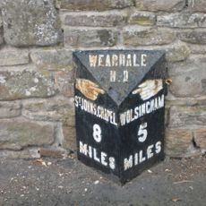
Milepost About 15 Metres East Of Junction To Road To Bondisle Way
2 km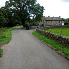
Unthank Mill, Houses And Cow House Attached
1.8 km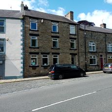
Premises Formerly Occupied By J And G Archibald Limited
2 km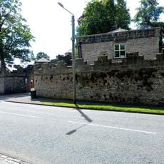
North Lodge And Wall To Stanhope Castle (Castle Lodge)
2 km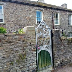
The Curatage And House Adjoining On West
2 km
Wall of Former Rectory Garden, Now Stanhope Caravan Site
2 km
Market cross, 35m and 50m south of St Thomas' Church
2 km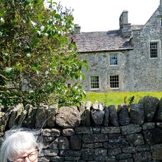
Unthank Hall
1.7 km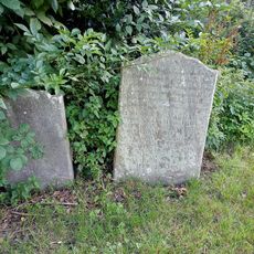
Iley Tomb Circa 28 Metres South Of Church Of St Thomas
2.1 km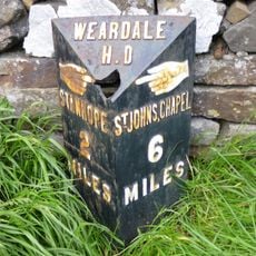
Hare Law
1.8 kmRecensioni
Ha visitato questo luogo? Tocchi le stelle per valutarlo e condividere la Sua esperienza o foto con la community! Provalo ora! Puoi annullarlo in qualsiasi momento.
Scopri tesori nascosti ad ogni viaggio!
Da piccoli caffè caratteristici a panorami nascosti, fuggi dalla folla e scova i posti che fanno davvero per te. La nostra app ti semplifica tutto: ricerca vocale, filtri furbi, percorsi ottimizzati e dritte autentiche da viaggiatori di tutto il mondo. Scaricala subito per vivere l'avventura sul tuo smartphone!

Un nuovo approccio alla scoperta turistica❞
— Le Figaro
Tutti i luoghi che meritano di essere esplorati❞
— France Info
Un’escursione su misura in pochi clic❞
— 20 Minutes