
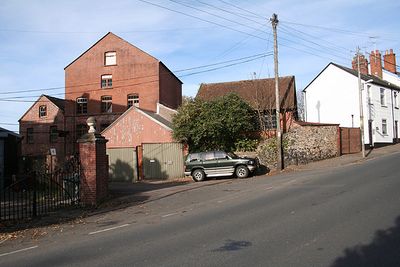
Town Millhouse, architectural structure in Ottery St. Mary, East Devon, Devon, UK
Posizione: Ottery St Mary
Coordinate GPS: 50.75042,-3.28469
Ultimo aggiornamento: 3 marzo 2025 alle 08:20
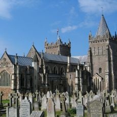
St Mary's Church, Ottery St Mary
463 m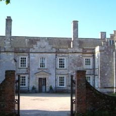
Cadhay
1.1 km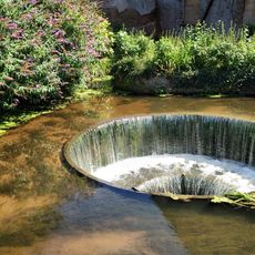
Tumbling Weir
10 m
Knightstone
1.7 km
St Edward's Chapel
1.8 km
Church of St Michael
2.7 km
Church of St Philip and St James
2.2 km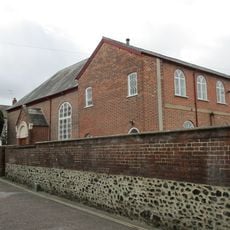
Congregational Church
503 m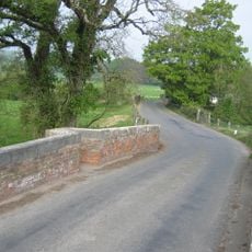
Cadhay Bridge
737 m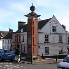
Jubilee Memorial
466 m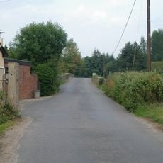
Gosford Bridge
1.8 km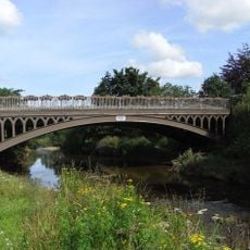
St Saviours Bridge
202 m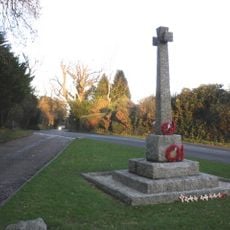
West Hill (Devon) Memorial Cross
2.7 km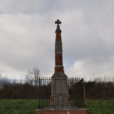
Wayside Cross (At Junction Of Main Exeter-London Road And Ottery-Sidmouth Road)
2.3 km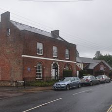
Raleigh House
119 m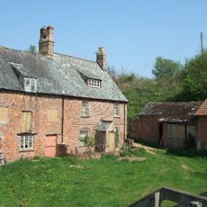
Tipton Mill
2.9 km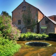
Town Mill And Circular Weir To North West
13 m
Bishop's Court
2 km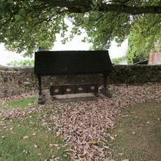
Village Stocks, To South, In Churchyard
457 m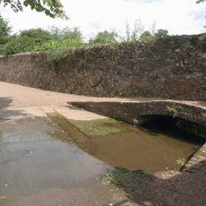
Front Garden Wall Of Knightstone
1.7 km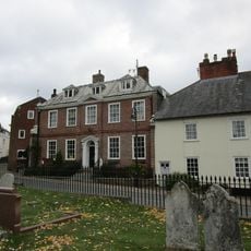
The Priory
549 m
The Chanter's House
435 m
Coach House, Stables And Servant Cottages Approximately 140 Metres South West Of Escot
3 km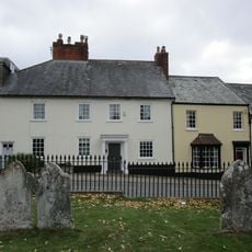
6 And 8, Paternoster Row
534 m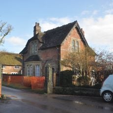
Escot Front Lodge
2.6 km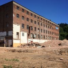
The Factory
34 m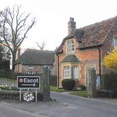
Gate Posts And Railings Approximately 4 Metres South Of Escot Front Lodge
2.6 km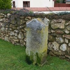
Milestone, SW of Fenny Bridges, by new thatched houses, above Ash Farm, opp. sign for Deslake Motor Services
3 kmHa visitato questo luogo? Tocchi le stelle per valutarlo e condividere la Sua esperienza o foto con la community! Provalo ora! Puoi annullarlo in qualsiasi momento.
Scopri tesori nascosti ad ogni viaggio!
Da piccoli caffè caratteristici a panorami nascosti, fuggi dalla folla e scova i posti che fanno davvero per te. La nostra app ti semplifica tutto: ricerca vocale, filtri furbi, percorsi ottimizzati e dritte autentiche da viaggiatori di tutto il mondo. Scaricala subito per vivere l'avventura sul tuo smartphone!

Un nuovo approccio alla scoperta turistica❞
— Le Figaro
Tutti i luoghi che meritano di essere esplorati❞
— France Info
Un’escursione su misura in pochi clic❞
— 20 Minutes