
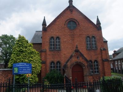
Congregational Church, church building in Narborough, Blaby, Leicestershire, UK
Posizione: Narborough
Coordinate GPS: 52.57237,-1.20461
Ultimo aggiornamento: 7 marzo 2025 alle 09:06
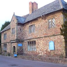
Narborough Hall
248 m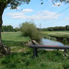
Aylestone Meadows
4.7 km
Croft and Huncote Quarry
3.1 km
Croft Hill
3.2 km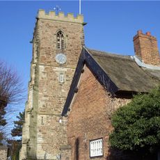
All Saints Church, Narborough
108 m
Enderby Warren Quarry
2.5 km
Church of St Thomas
4.7 km
Church of All Saints
3 km
Narborough Bog
1 km
Croft Pasture
3.5 km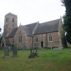
Church of St Michael and All Saints
3.3 km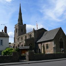
Church of St Michael and All Angels
2.7 km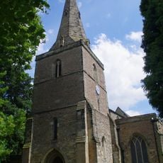
Church of St Andrew
4.8 km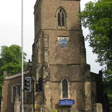
Church of St John the Baptist
2 km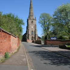
Church of St Peter
1.8 km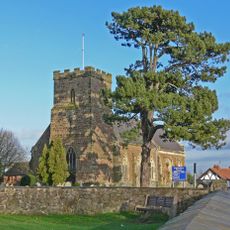
Church of All Saints
4.1 km
Church of St Mary
4.3 km
Aylestone Old Bridge
4.5 km
Aylestone War Memorial
4.7 km
The Bakers Arms Public House
3 km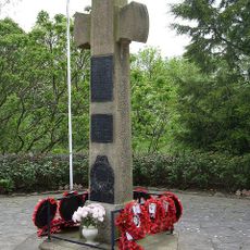
War Memorial Cross and Enclosure
3.3 km
The Manor Restaurant
3.7 km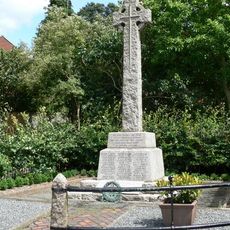
Whetstone War Memorial
1.7 km
South Wigston War Memorial
4.7 km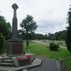
Narborough War Memorial
118 m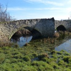
Enderby Mill Bridge
1.4 km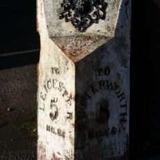
Milepost About 30 Metres South Of The Elms
2.7 km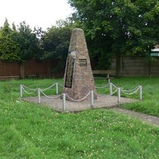
Blaby War Memorial
2.7 kmRecensioni
Ha visitato questo luogo? Tocchi le stelle per valutarlo e condividere la Sua esperienza o foto con la community! Provalo ora! Puoi annullarlo in qualsiasi momento.
Scopri tesori nascosti ad ogni viaggio!
Da piccoli caffè caratteristici a panorami nascosti, fuggi dalla folla e scova i posti che fanno davvero per te. La nostra app ti semplifica tutto: ricerca vocale, filtri furbi, percorsi ottimizzati e dritte autentiche da viaggiatori di tutto il mondo. Scaricala subito per vivere l'avventura sul tuo smartphone!

Un nuovo approccio alla scoperta turistica❞
— Le Figaro
Tutti i luoghi che meritano di essere esplorati❞
— France Info
Un’escursione su misura in pochi clic❞
— 20 Minutes