
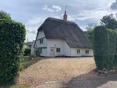
58, High Street, building in Abbotsley, Huntingdonshire, Cambridgeshire, UK
Posizione: Abbotsley
Coordinate GPS: 52.19306,-0.20246
Ultimo aggiornamento: 3 marzo 2025 alle 00:29
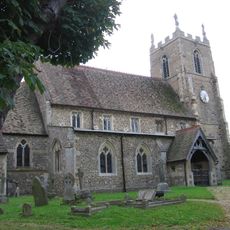
St Margaret's Church
200 m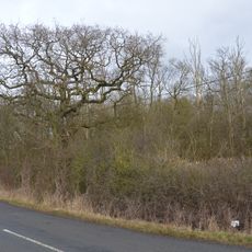
Weaveley and Sand Woods
2.5 km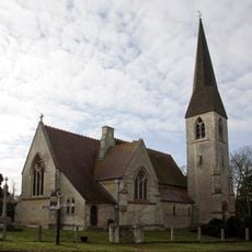
Church of St James the Great
2.8 km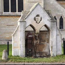
Village pump and drinking fountain
2.8 km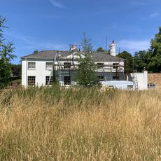
Waresley Hall
2.5 km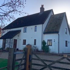
Stoneley Cottage
330 m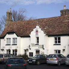
Duncombe Arms Public House
2.8 km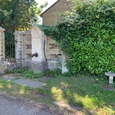
Village Pump About 10 Yards From Entry To Waresley Hall
2.6 km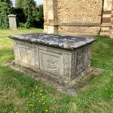
Tomb of William Haylock
199 m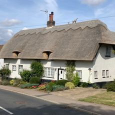
5 and 7, High Street
342 m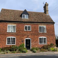
Vicarage Farmhouse
224 m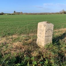
Milestone
2.2 km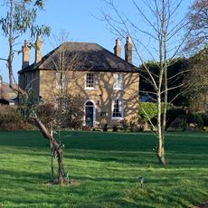
Rectory Farmhouse
447 m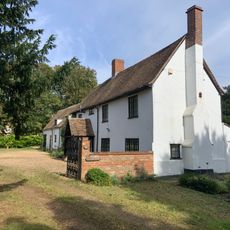
Church Farmhouse
163 m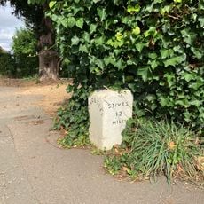
Milestone About 10 Yards West Of Duncombe Arms
2.8 km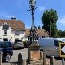
Lamp Standard 20 Yards South Of Duncombe Arms Public House
2.8 km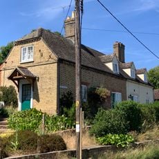
1 and 2, the Bank
2.6 km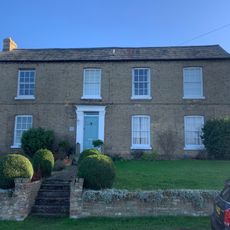
Grange Farmhouse
300 m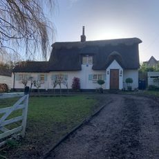
9, Blacksmiths Lane
110 m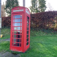
K6 Telephone Kiosk By St Margarets Church
242 m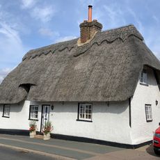
19, High Street
269 m
67, High Street
94 m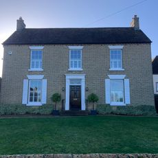
Fen End Farmhouse
348 m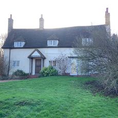
90 And 92, High Street
238 m
6 And 8, Hardwick Lane
371 m
5 And 6, The Square
2.6 km
2, Blacksmiths Lane
81 m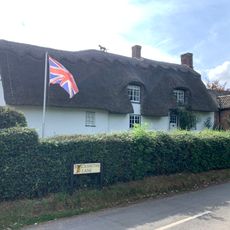
1, Blacksmiths Lane
58 mRecensioni
Ha visitato questo luogo? Tocchi le stelle per valutarlo e condividere la Sua esperienza o foto con la community! Provalo ora! Puoi annullarlo in qualsiasi momento.
Scopri tesori nascosti ad ogni viaggio!
Da piccoli caffè caratteristici a panorami nascosti, fuggi dalla folla e scova i posti che fanno davvero per te. La nostra app ti semplifica tutto: ricerca vocale, filtri furbi, percorsi ottimizzati e dritte autentiche da viaggiatori di tutto il mondo. Scaricala subito per vivere l'avventura sul tuo smartphone!

Un nuovo approccio alla scoperta turistica❞
— Le Figaro
Tutti i luoghi che meritano di essere esplorati❞
— France Info
Un’escursione su misura in pochi clic❞
— 20 Minutes