
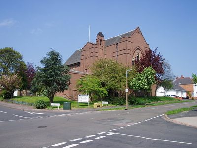
Church of St Anne, church building in City of Leicester, Leicestershire, UK
Posizione: City of Leicester
Coordinate GPS: 52.63528,-1.16931
Ultimo aggiornamento: 27 aprile 2025 alle 05:01
Leicester Castle
1.9 km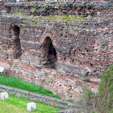
Jewry Wall
1.9 km
Church of St Mary de Castro, Leicester
2 km
Jewry Wall Museum
1.9 km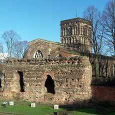
St Nicholas' Church, Leicester
1.9 km
Winstanley House
1.3 km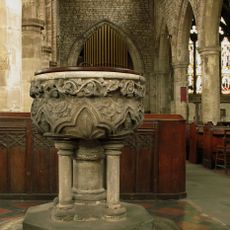
All Saints Church, Leicester
2 km
Shree Jalaram Prarthana Mandal
1.5 km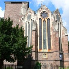
St Paul's Church
1.1 km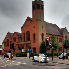
Robert Hall Memorial Baptist Church
1.3 km
Leicester Castle Garden
1.9 km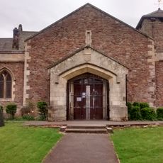
St Peter's, Braunstone Park
1.8 km
Holy Apostles Church
1.6 km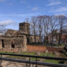
Jewry Wall
1.9 km
Church of the Blessed Sacrament
1 km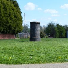
Tunnel Ventilation Shaft To South Of Number 12
1.7 km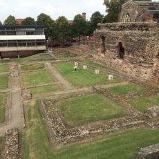
Jewry Wall: remains of a Roman bath house, palaestra and Anglo-Saxon church
1.9 km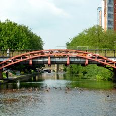
Mill Lane Bridge, Leicester
1.9 km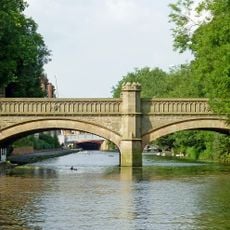
Newarke Bridge Over River Soar
1.9 km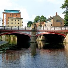
West Bridge, Leicester
1.8 km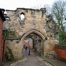
Leicester Castle and the Magazine Gateway
2 km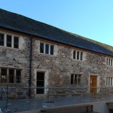
Old Grammar School
2.1 km
The Pump House, Friar's Mill
1.7 km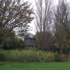
Tunnel Ventilation Shaft To East Of Number 1
1.8 km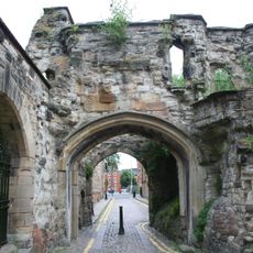
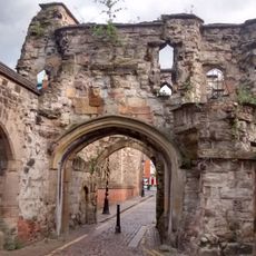
Turret Gateway
2 km
County Court (including Remains Of Castle)
1.9 km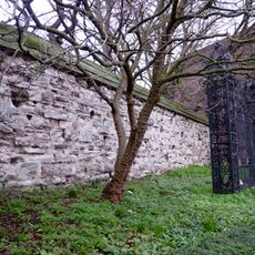
Newarke Wall, along north west end of gardens of Newarke Houses Museum
2 km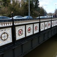
Bow Bridge
1.7 kmRecensioni
Ha visitato questo luogo? Tocchi le stelle per valutarlo e condividere la Sua esperienza o foto con la community! Provalo ora! Puoi annullarlo in qualsiasi momento.
Scopri tesori nascosti ad ogni viaggio!
Da piccoli caffè caratteristici a panorami nascosti, fuggi dalla folla e scova i posti che fanno davvero per te. La nostra app ti semplifica tutto: ricerca vocale, filtri furbi, percorsi ottimizzati e dritte autentiche da viaggiatori di tutto il mondo. Scaricala subito per vivere l'avventura sul tuo smartphone!

Un nuovo approccio alla scoperta turistica❞
— Le Figaro
Tutti i luoghi che meritano di essere esplorati❞
— France Info
Un’escursione su misura in pochi clic❞
— 20 Minutes