
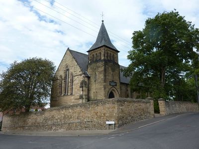
Church of St Mary, church building in Sunderland, Tyne and Wear, UK
Posizione: Sunderland
Coordinate GPS: 54.90654,-1.45027
Ultimo aggiornamento: 3 marzo 2025 alle 14:07
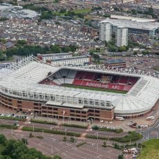
Stadium of Light
4.1 km
Penshaw Monument
3.3 km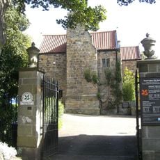
Washington Old Hall
4.3 km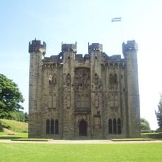
Hylton Castle
1.8 km
Sunderland Empire Theatre
3.9 km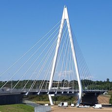
Northern Spire Bridge
2 km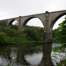
Victoria Viaduct
4.1 km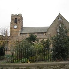
Sunderland Minster
3.9 km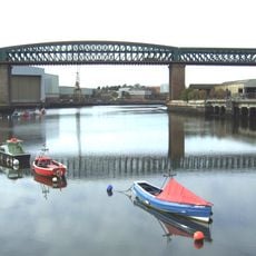
Queen Alexandra Bridge
3 km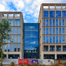
City Hall, Sunderland
4.1 km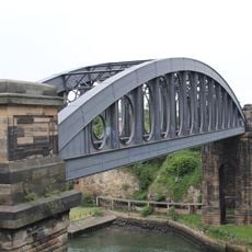
Monkwearmouth Bridge
4.3 km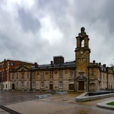
New Sunderland Square
4.1 km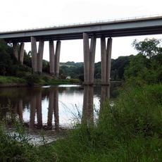
Hylton Viaduct
560 m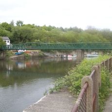
Cox Green footbridge
3.3 km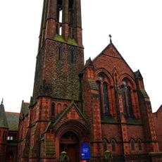
St George's Church, Sunderland
4.3 km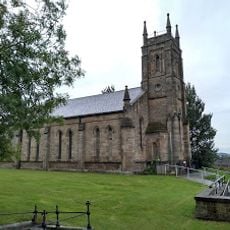
Church of Holy Trinity
3.2 km
Church of St Gabriel
2.6 km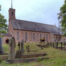
Church of Holy Trinity
4.3 km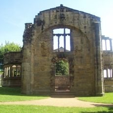
Hylton Chapel
1.9 km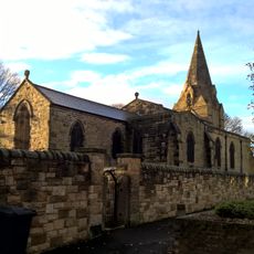
Church of Saint Nicholas
4.1 km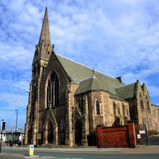
West Park United Reformed Church
4.2 km
The Dun Cow Public House
3.9 km
Magistrates' Court
4 km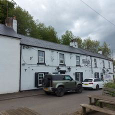
The Shipwrights Public House
324 m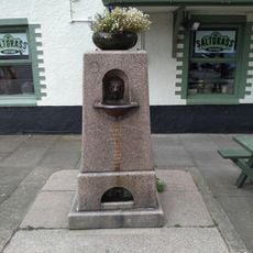
Drinking Fountain To West Of Saltgrass Public House
3.6 km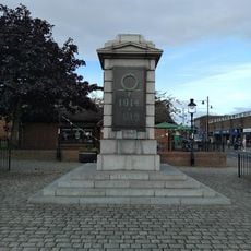
War Memorial at East End
3.5 km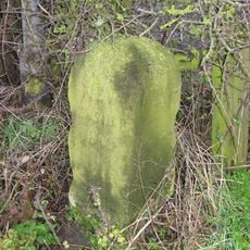
Stone At Junction With Woodhouse Lane
3.1 km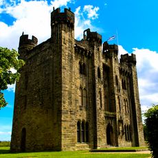
Hylton Castle: a medieval fortified house, chapel, 17th and 18th century country houses and associated gardens
1.8 kmRecensioni
Ha visitato questo luogo? Tocchi le stelle per valutarlo e condividere la Sua esperienza o foto con la community! Provalo ora! Puoi annullarlo in qualsiasi momento.
Scopri tesori nascosti ad ogni viaggio!
Da piccoli caffè caratteristici a panorami nascosti, fuggi dalla folla e scova i posti che fanno davvero per te. La nostra app ti semplifica tutto: ricerca vocale, filtri furbi, percorsi ottimizzati e dritte autentiche da viaggiatori di tutto il mondo. Scaricala subito per vivere l'avventura sul tuo smartphone!

Un nuovo approccio alla scoperta turistica❞
— Le Figaro
Tutti i luoghi che meritano di essere esplorati❞
— France Info
Un’escursione su misura in pochi clic❞
— 20 Minutes