
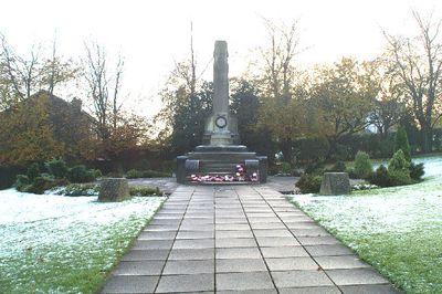
Up Holland War Memorial, war memorial in Up Holland, West Lancashire, Lancashire, UK
Posizione: Up Holland
Coordinate GPS: 53.54638,-2.72630
Ultimo aggiornamento: 15 marzo 2025 alle 08:47
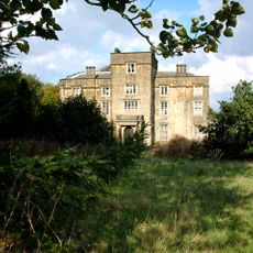
Winstanley Hall
3.7 km
Church of St Thomas the Martyr, Up Holland
739 m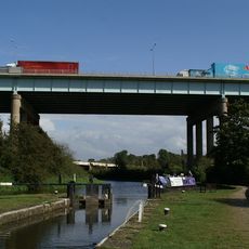
Gathurst Viaduct
2.4 km
Bispham Hall
3.3 km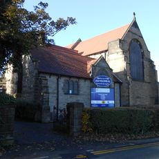
St Paul's Church, Skelmersdale
4.4 km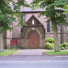
St Matthew's Church, Wigan
4 km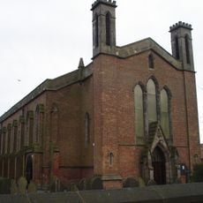
St John the Divine's Church, Pemberton
3.1 km
Upholland Priory
773 m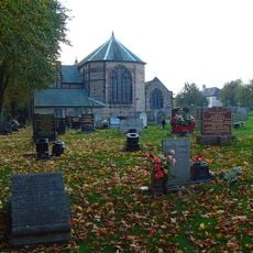
St Luke's Church, Orrell
2.2 km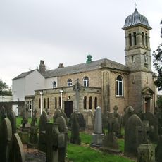
Church of St James and Presbytery
2 km
Church of St Michael
3.4 km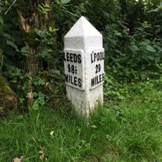
Leeds And Liverpool Canal Milestone Approximately 30 Metres South East Of Hand Lane Bridge
4.1 km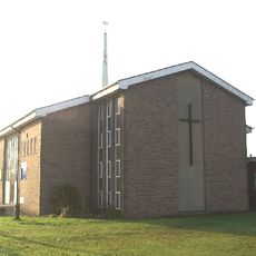
St Barnabas Church, Marsh Green
3.8 km
St Anne's Church, Shevington
3.8 km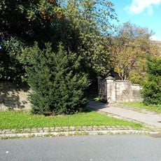
Boundary walls and gateways to west and south of Church of St John the Divine
3 km
Skelmersdale Library
3.3 km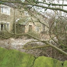
Maddocks Farmhouse
3.9 km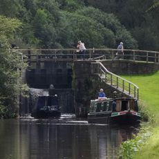
Leeds And Liverpool Canal Southern Lock At Appley Locks
3.8 km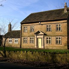
Derbyshire House
4.4 km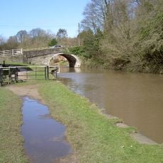
Gathurst Bridge
2.7 km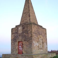
Ashurst's Beacon
2.9 km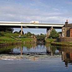
Leeds And Liverpool Canal Dean Locks
2.3 km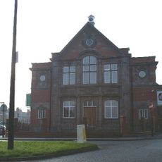
Former Pemberton Library
4.2 km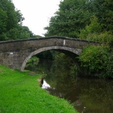
Leeds And Liverpool Canal Bridge Number 40
4.4 km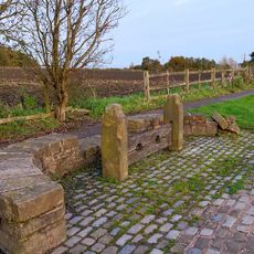
Stocks At Windy Arbour Approximately 33 Metres From Pemberton Road Junction
4.6 km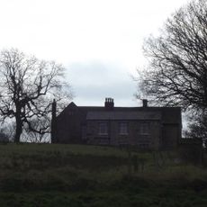
Ackhurst Hall
2.8 km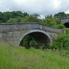
Leeds And Liverpool Canal Hand Lane Bridge (Number 41)
4.1 km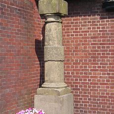
Orrell Post Outside The Stag Inn
1.6 kmRecensioni
Ha visitato questo luogo? Tocchi le stelle per valutarlo e condividere la Sua esperienza o foto con la community! Provalo ora! Puoi annullarlo in qualsiasi momento.
Scopri tesori nascosti ad ogni viaggio!
Da piccoli caffè caratteristici a panorami nascosti, fuggi dalla folla e scova i posti che fanno davvero per te. La nostra app ti semplifica tutto: ricerca vocale, filtri furbi, percorsi ottimizzati e dritte autentiche da viaggiatori di tutto il mondo. Scaricala subito per vivere l'avventura sul tuo smartphone!

Un nuovo approccio alla scoperta turistica❞
— Le Figaro
Tutti i luoghi che meritano di essere esplorati❞
— France Info
Un’escursione su misura in pochi clic❞
— 20 Minutes